Saturday, July 8, 2023
Today I got up early and drove down to the Santiam Pass area to hike up Sand Mountain.

The last few miles before the trailhead are on Road 810, a rough bumpy road that was not fun to drive. I was glad to park the car at the gate and start walking:

The spur road up to Sand Mountain is drivable, but it’s closed to vehicles if you’re a member of the public. It was a pleasant walk, though:


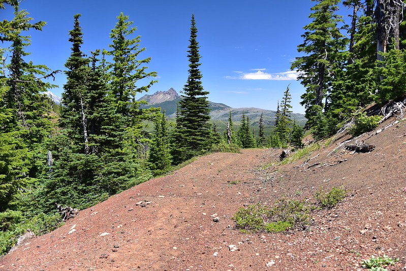
I started getting a preview of the views to come, with Mt. Jefferson and Three Fingered Jack:

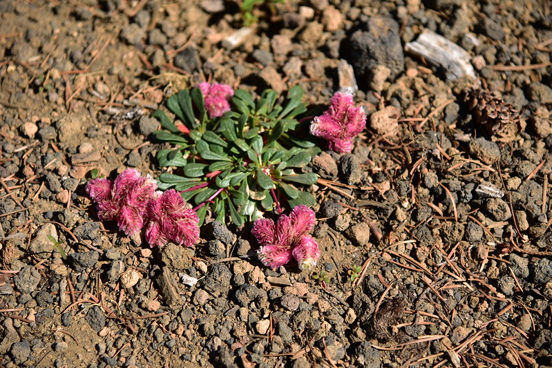
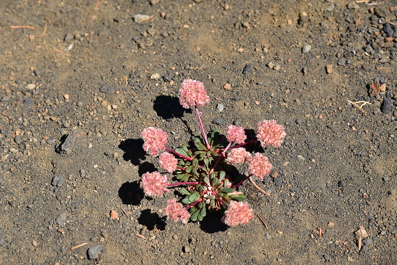
There were some nice wildflowers along the way:


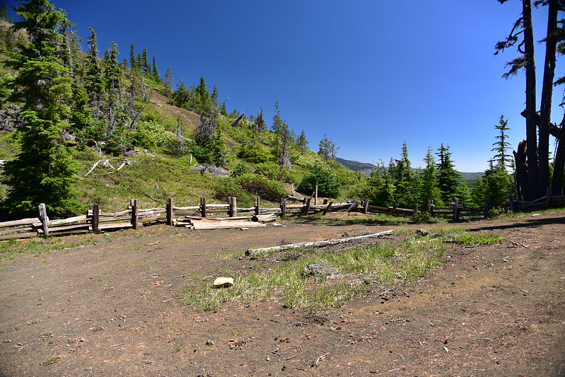
The road ends at a parking area:
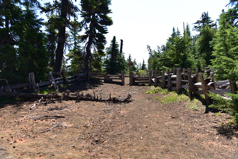
And the trail begins at the far end of the parking area:

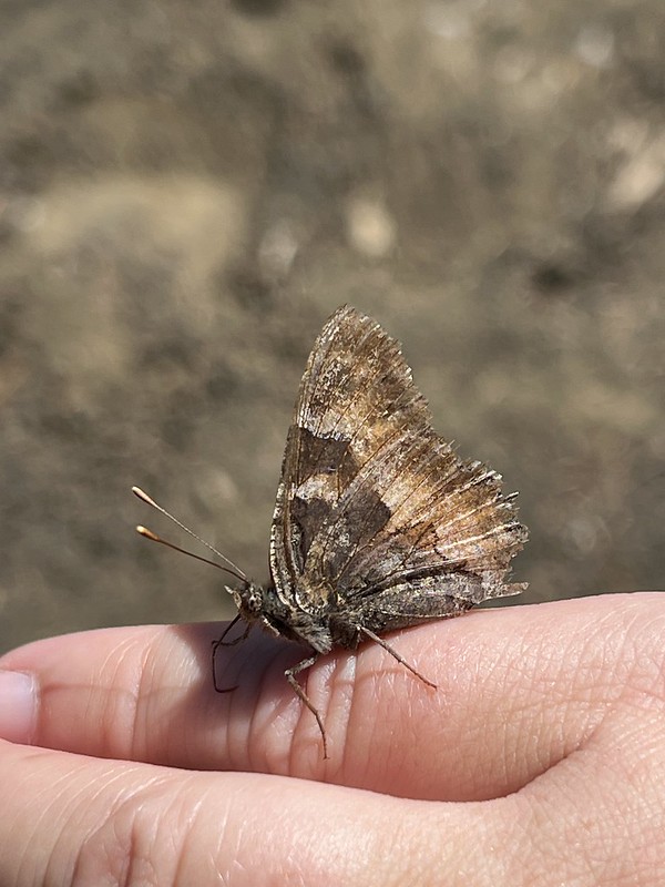
This guy decided to lick the salt off my skin:
Penstemon:

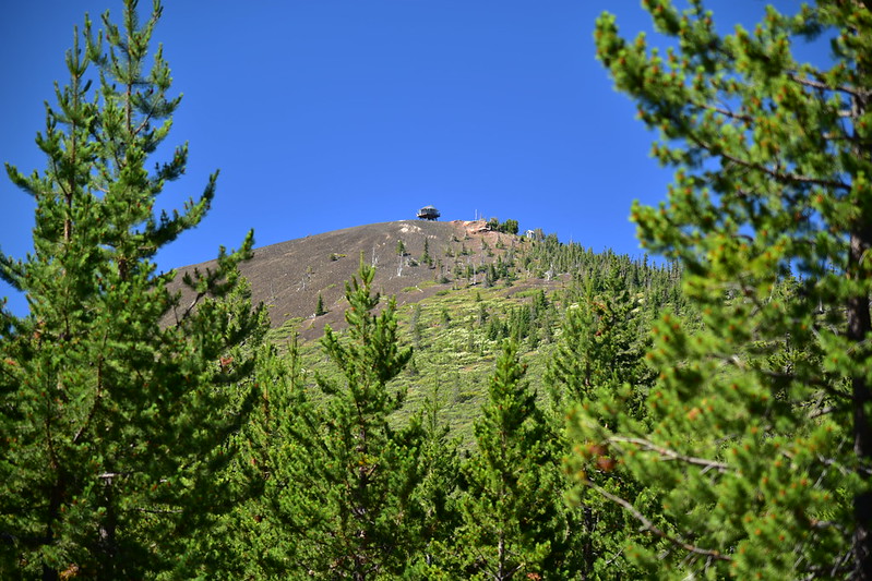
Almost there!

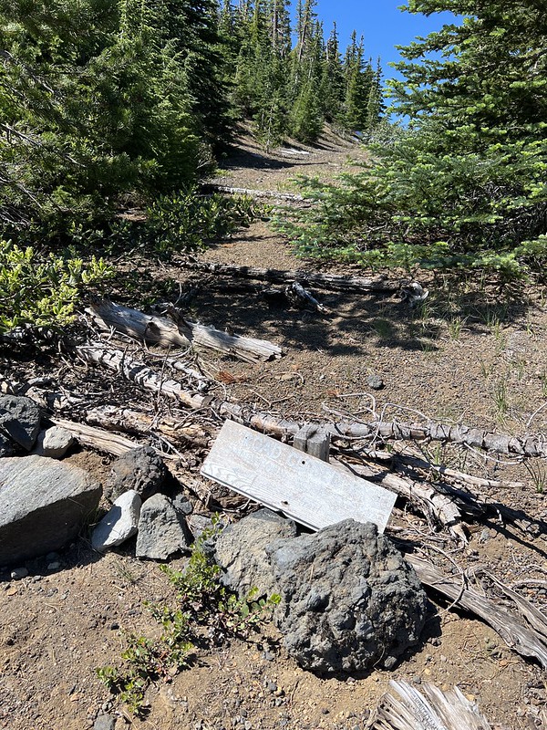
I had been walking on a continuation of the road and I passed the spot where it used to head to the right. It’s closed and blocked off now:

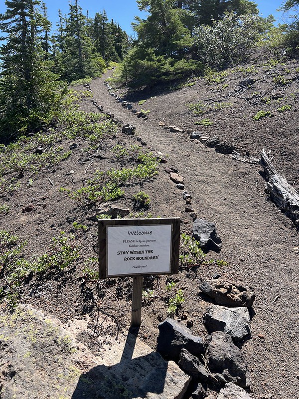
Climbing up the trail:

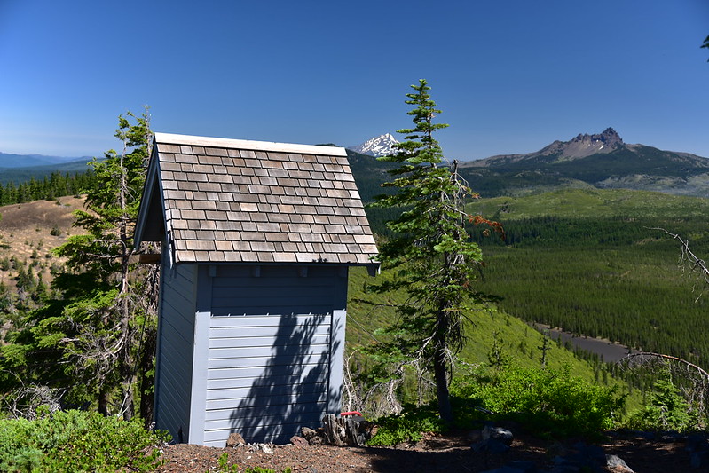
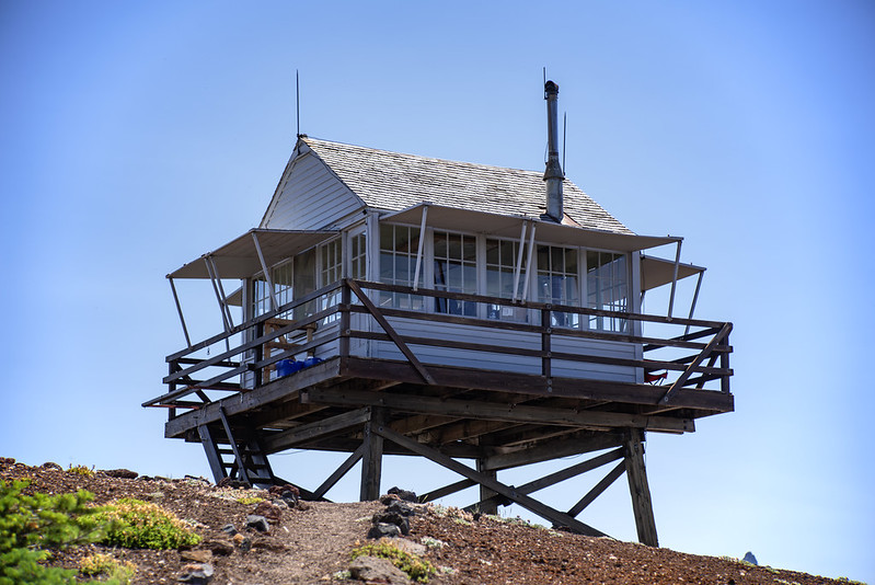
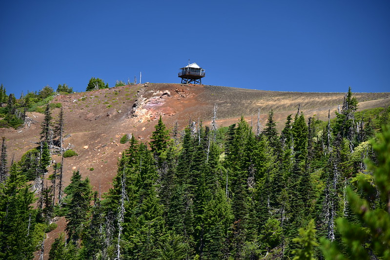
Outhouse with a view:
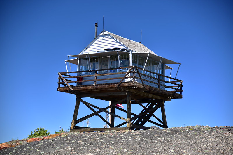
Reached the summit!
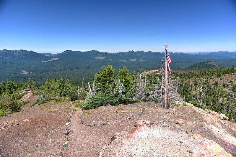
The views were great! Looking northwest with Crescent Mountain left of center, the Three Pyramids just left of the flagpole, and Coffin Mountain at far right:
Maxwell Butte, Mt. Jefferson, and Three Fingered Jack to the north:

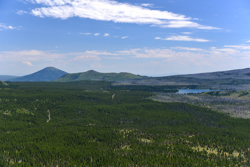
Looking northeast at Hoodoo Butte, Hayrick Butte (the flat one), Black Butte, and Cache Mountain:

Looking east at Black Butte, Cache Mountain, Big Lake, and burned trees from the 2011 Shadow Lake Fire:
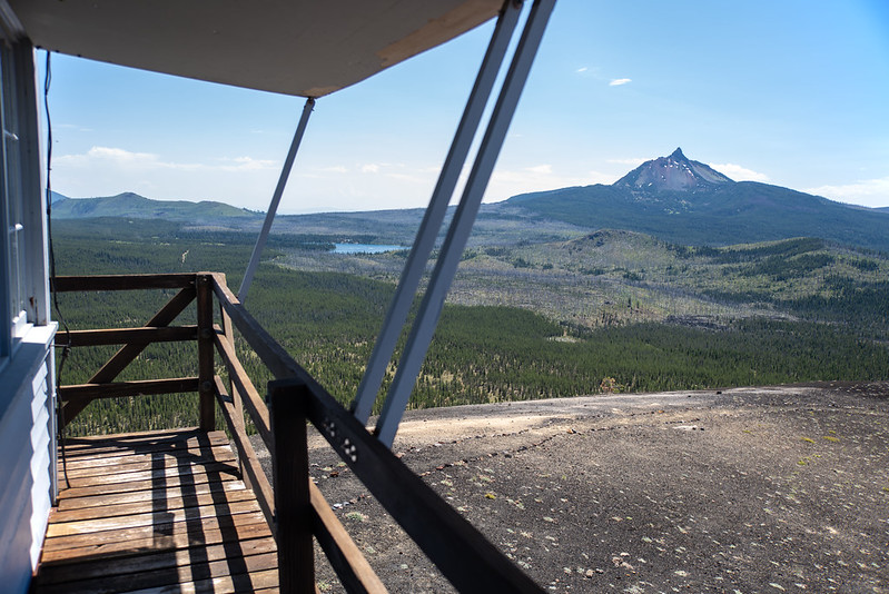
Mt. Washington to the southeast:
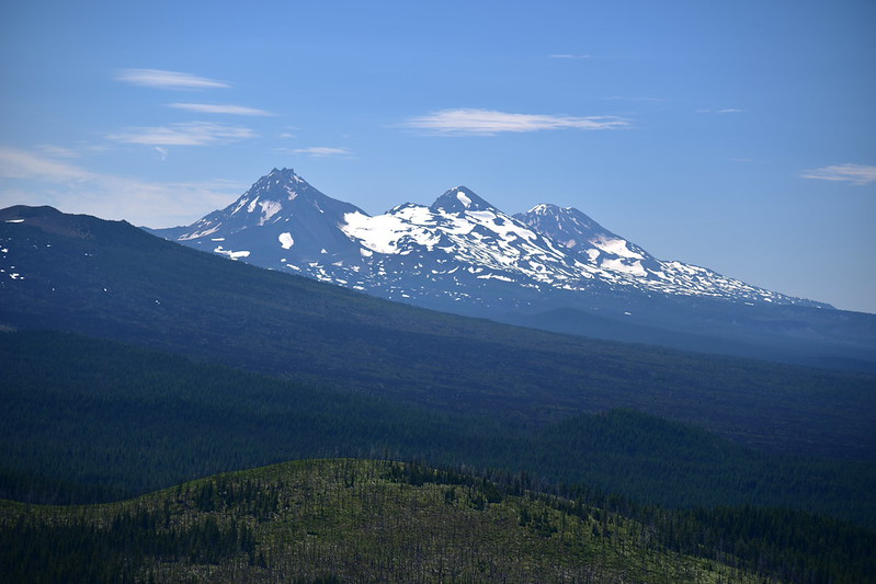
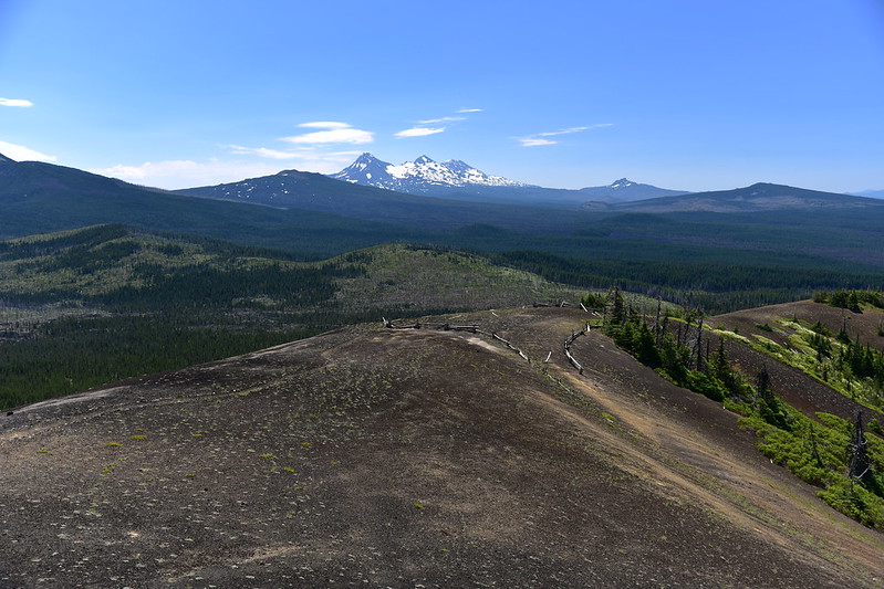
The Three Sisters to the southeast:
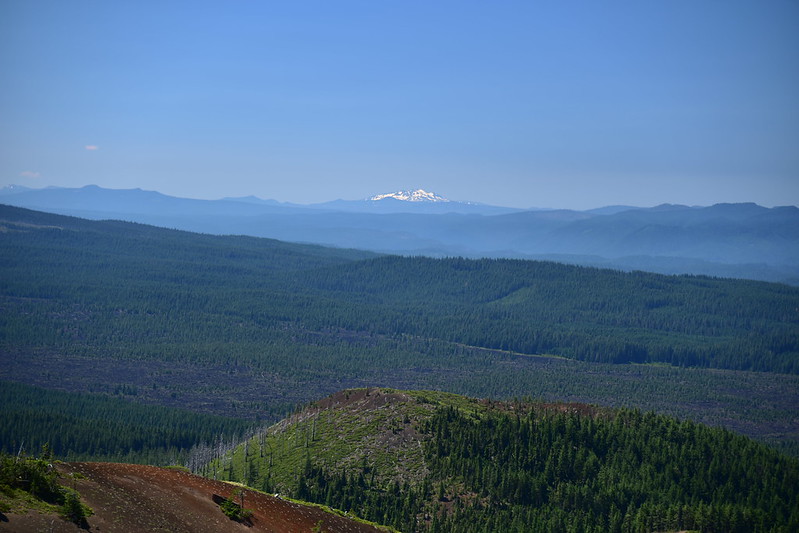
Diamond Peak to the south:
Looking southwest:

A slew of Cascade peaks to the west:

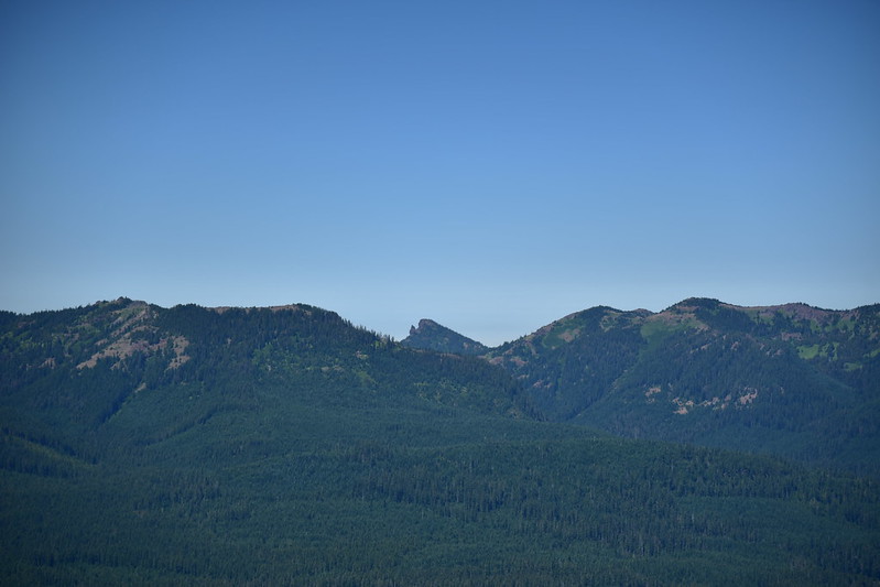
Iron Mountain at center:
Carpenter Mountain:

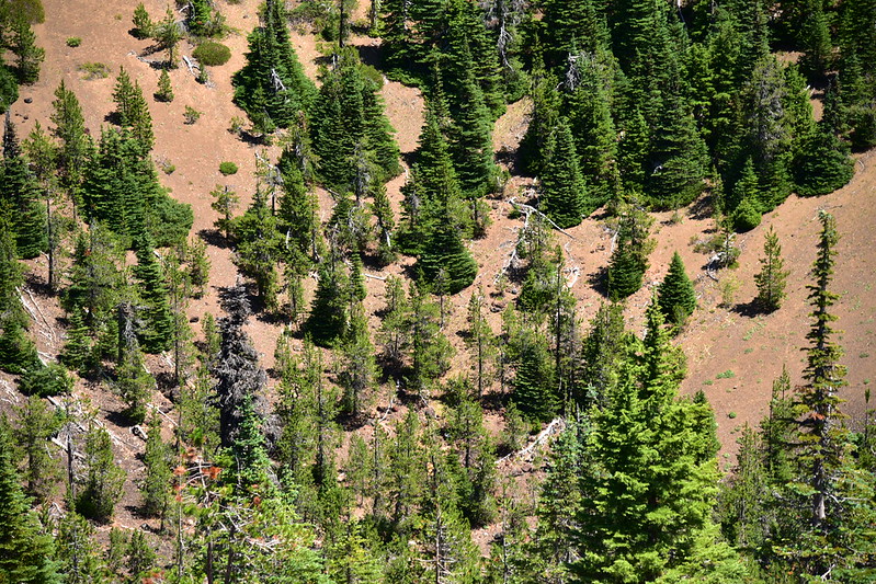
You can see where the road used to end below. The fence line surrounding the former parking area is being swallowed up, but it’s still visible:

After a nice chat with the lookout on duty, I set off down the trail towards the former parking area:

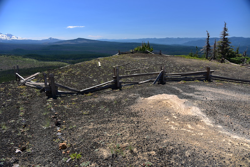
You can barely tell anymore, but the road used to come up right in the center:
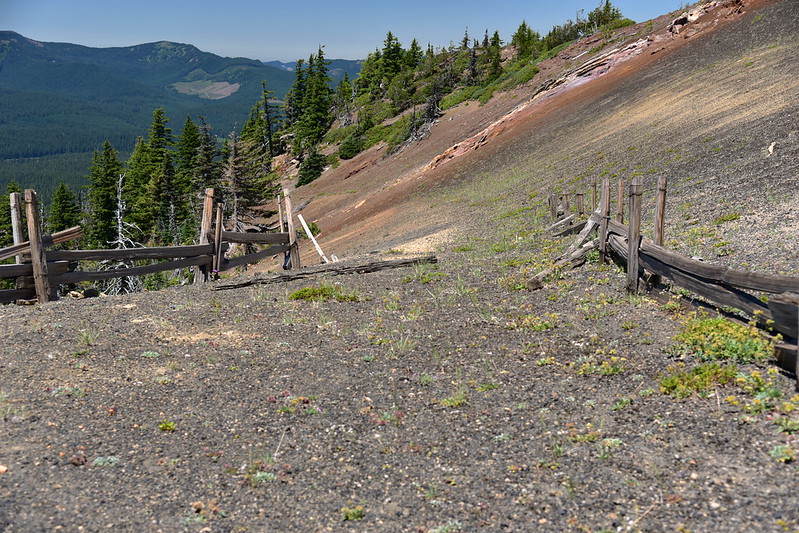
The trail continues on the other side of the fenced area:

And around the rim of the summit:

Looking back:


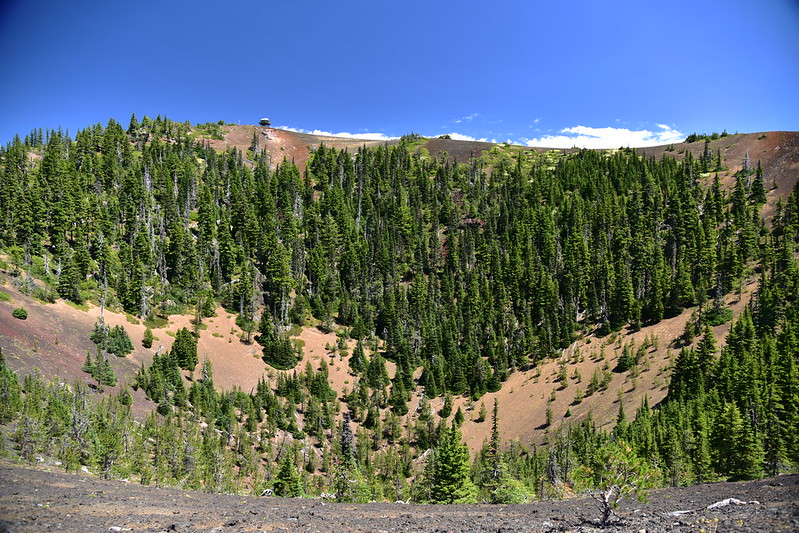
Looking down into the hole:
After circling the rim I came to the old road. Turning right would have taken me along the old eroded stretch to the former parking area. I turned left to head back to the trail:

More pussypaws on the way down:

Gaia stats: 4.4 miles, 850′ elevation gain


