Saturday, May 22, 2021
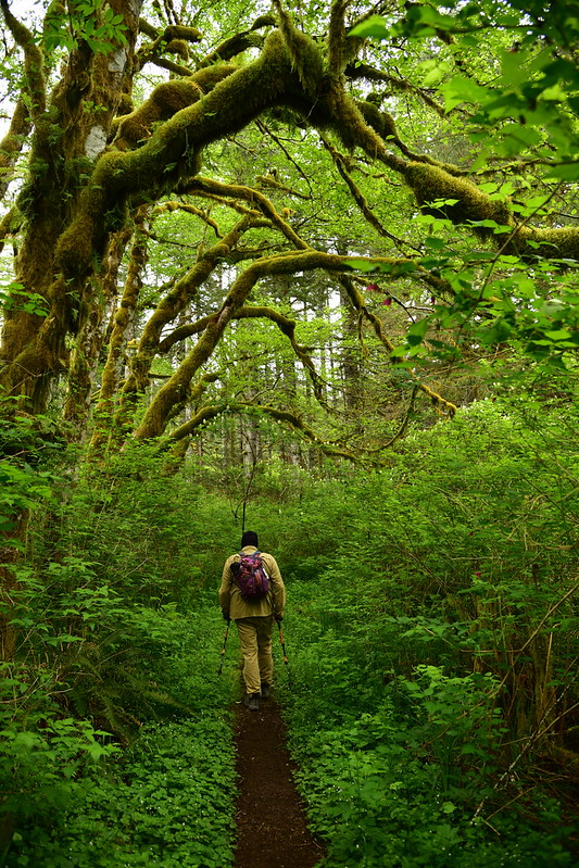
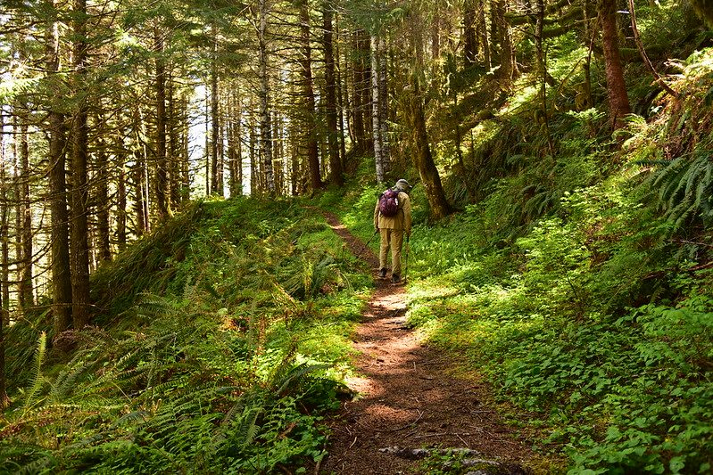
Today we did the Mt. Hebo hike in the Coast Range east of Pacific City. It took us about two hours and 20 minutes to drive from Portland to the trailhead in the Hebo Lake Campground:

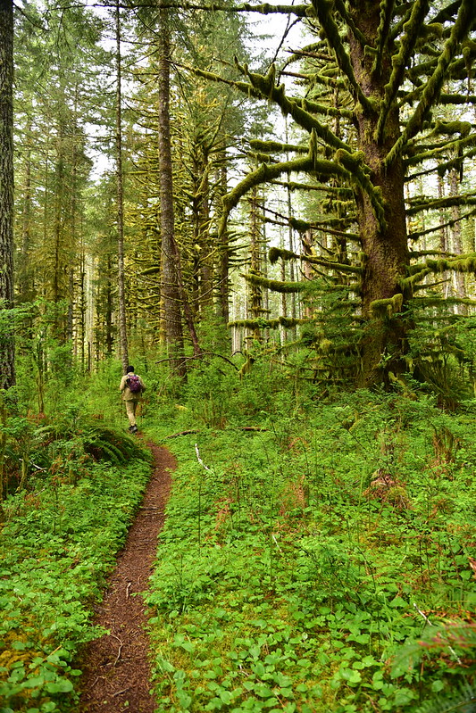
The trail is called the Pioneer Indian Trail because Native Americans and early settlers used a trail up and over Mt. Hebo to travel from the Willamette Valley to the Pacific Coast and this modern trail follows that historic route.
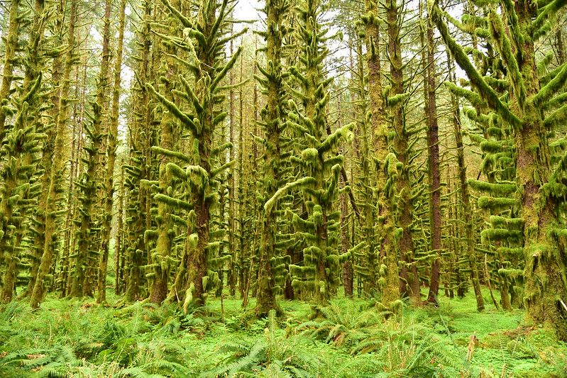
The forest was green and lush after all the winter rain. There is a lot of moss, and some pretty huge sitka spruce too:


There were a lot of mushrooms on this one log:

There were several old signs along the way and this one was unfortunately misspelled. Someone had carved a tiny “c” in-between the “a” and the “k”:
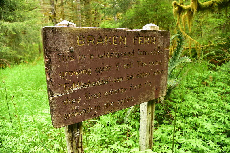
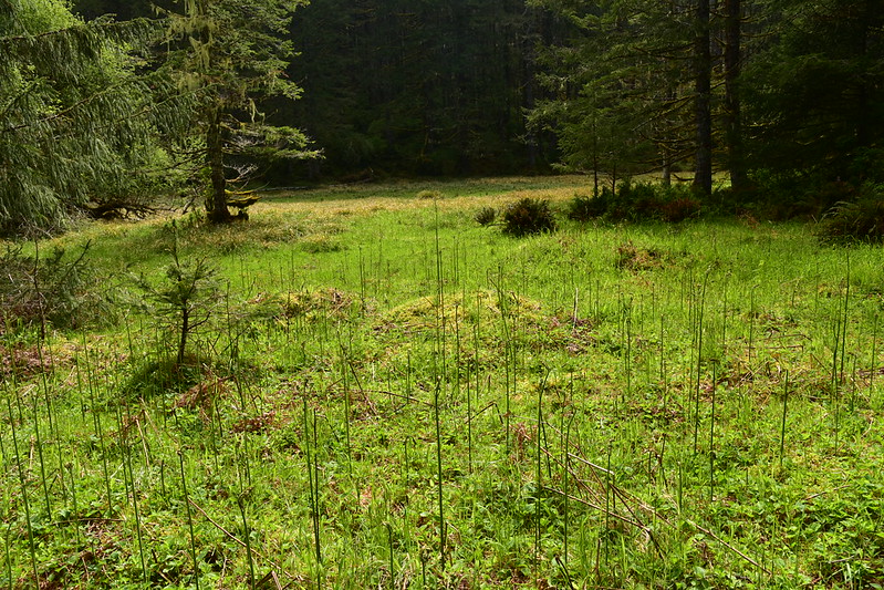
The bracken ferns referred to on that sign were just starting to unfurl in this meadow:

The forest was pleasant but we started hearing the sounds of target shooting nearby, and it sounded like we were in a war zone:

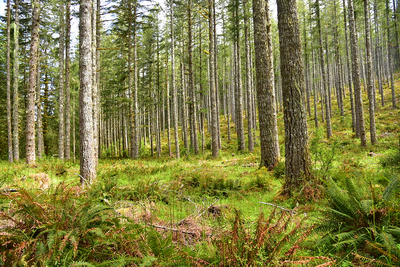
After 1.5 miles we left behind the big sitka spruces and entered a stand of much younger trees:

We crossed a decommissioned logging road:

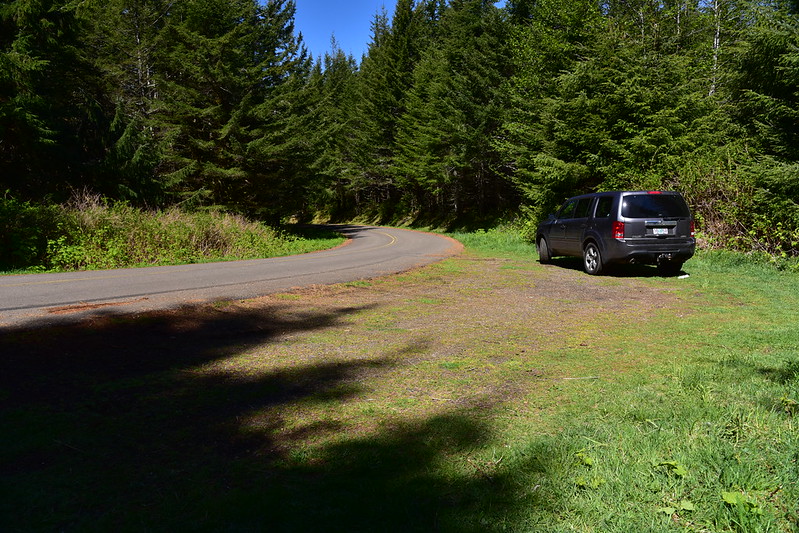
Then we crossed Road 14 at 2.8 miles. For a shorter hike people park here, although there is only room for 3-4 cars:
Now the trail followed an old road:
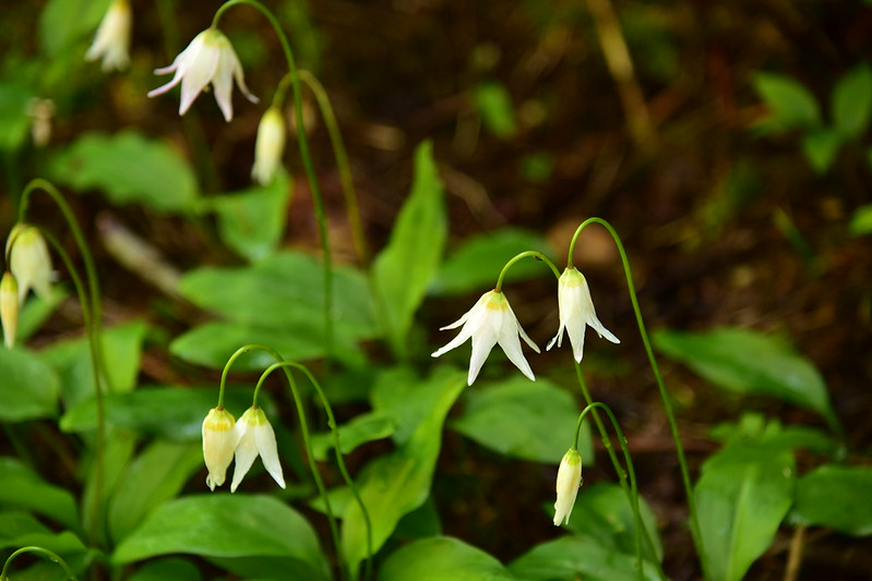
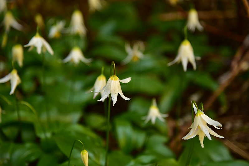
We saw quite a few of these Coast Range fawn lilies (Erythronium elegans) :


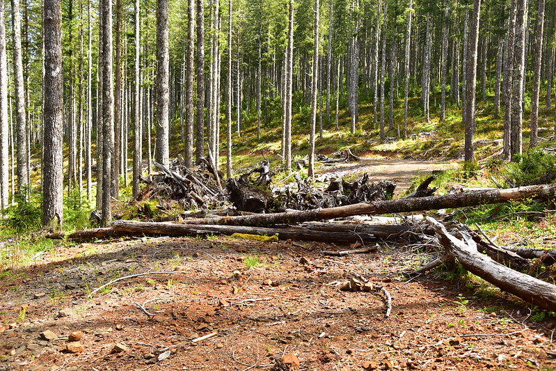
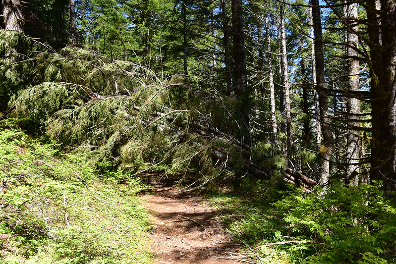
There were some downed trees to negotiate 0.3 miles from the Road 14 crossing:

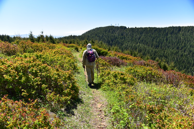
Then we emerged from the trees into an open area:


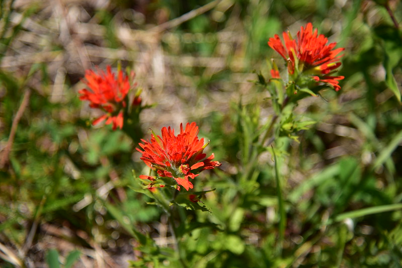
There was paintbrush blooming here:
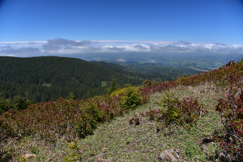
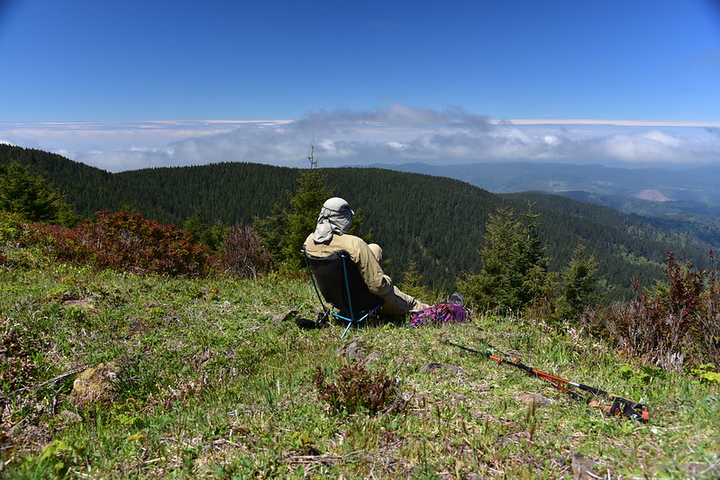
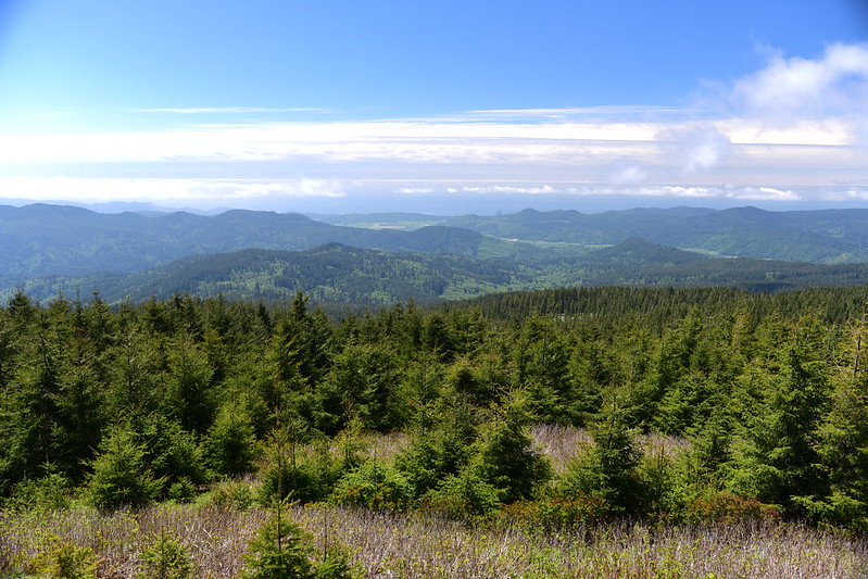
At the four-mile mark we found a nice spot to sit and look at the view. The morning clouds had burned off and it was sunny with almost no wind, which was wonderfully good luck for a place that is famous for its winds:

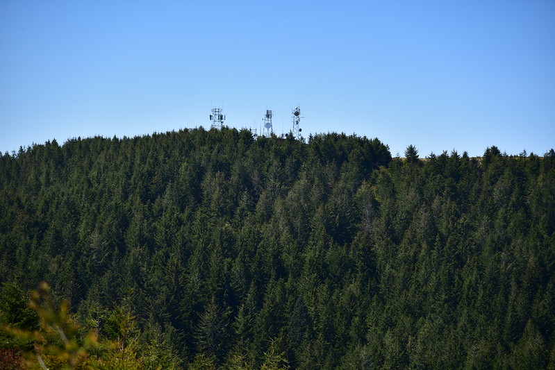
On our way back we decided to visit the summit, which involved some road-hiking since the trail doesn’t go there. There are radio towers up there which you can see here:
We hiked back along the trail until it got close to Road 14, then road-hiked up to the summit and its towers:
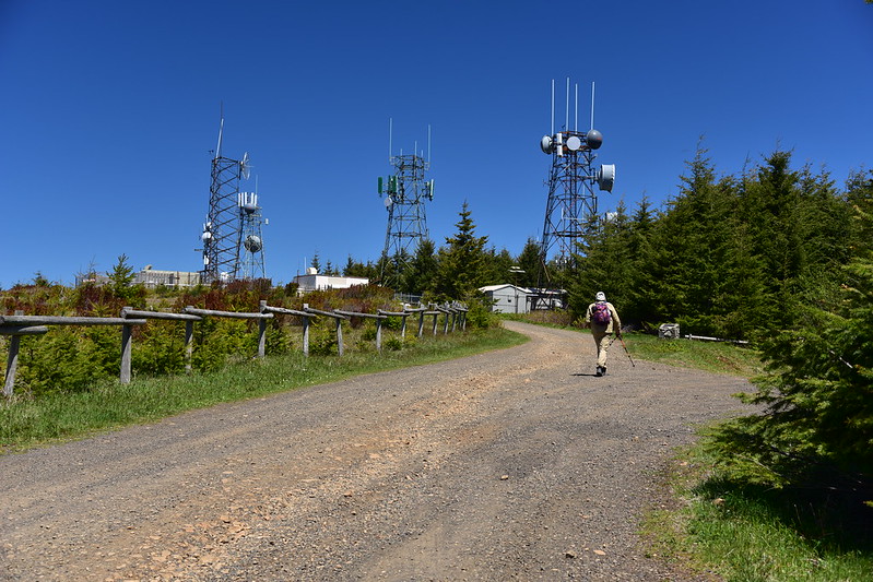
Summit area:

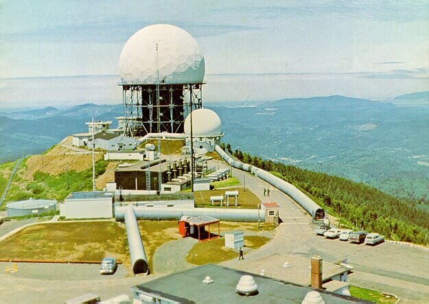
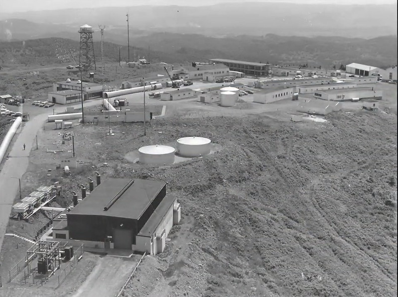
This spot has some pretty interesting history. In addition to once housing a fire lookout it was also the site of the Mt. Hebo Air Force Station starting in the late 1950s. It was a radar site responsible for air defense in the Pacific Northwest. Due to the extreme weather conditions up here (including snow, ice, and wind) the radar was housed under a protective radome. The radome needed to be replaced three separate time due to damage from the weather. You can see in the photos below the corrugated metal pipes that were used as protected walkways between buildings during extreme weather.
The station included a recreation center, bowling alley, barber shop, dental clinic, among other things. Where the equestrian trailhead is now located down the road there was once a community of 27 houses for the workers and their families.
The station was deactivated in 1979 and everything was demolished in 1986 with the property reverting back to the Siuslaw National Forest.
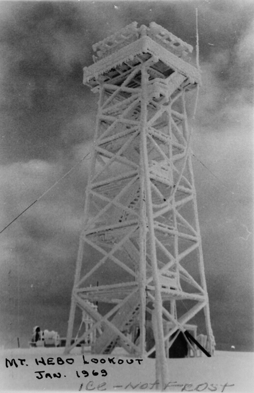
The ice-coated fire lookout in 1969:
We walked out to the area where the radome used to be:

This retaining wall is the only remaining sign of the structure:

We could see the radio tower on the south summit:

Looking back to the radio towers:

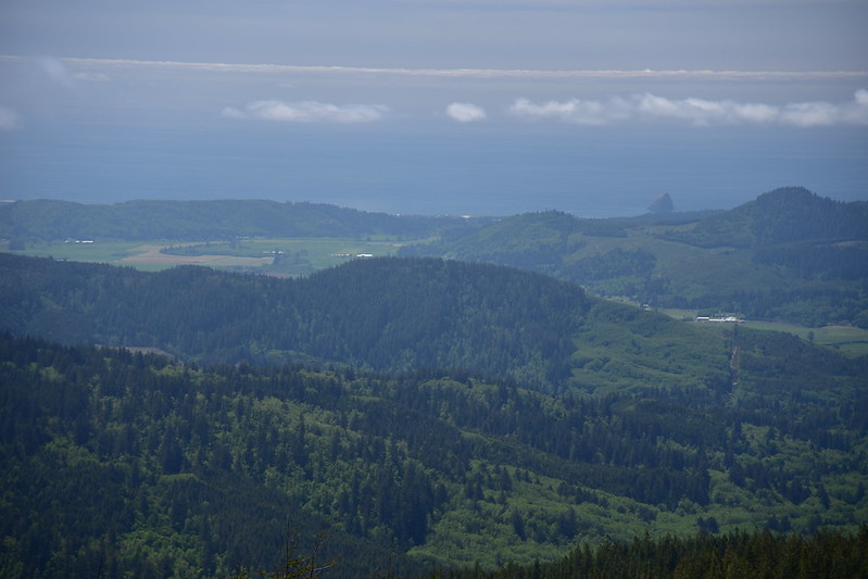
Looking towards Cape Kiwanda:
I didn’t get a photo, but we saw a bald eagle flying overhead when we were wandering around the old radome site. Neato!
We thought we might be able to follow this old road as a shortcut down to Road 14 but it quickly became too brushy so we backtracked to the radio towers and back to Road 14:

Then we road-hiked on Road 14 for 0.6 miles back to the spot where we had crossed it on our way up, then hiked the trail 2.8 miles back to the Hebo Lake Campground.
Gaia stats: 9.9 miles, 1700′ elevation gain


