Thursday, May 26 – Sunday, May 29, 2022
Oregon has had a miserably wet spring, especially the western side of the state. I had hoped that by going to the dry side of the state over Memorial Day that I would escape the rain, but I was wrong.
I headed out after work on Thursday. I camped in the Deschutes National Forest south of Pine Mountain. Shortly after I turned off Highway 20 I was witness to an awesome sunset:

My camp was quick and simple. I set up the tent, went to sleep, got up in the morning, made a quick breakfast, and hit the road:

After driving east for several more hours I found a nice little campsite on BLM land north of Highway 20 outside of Burns:

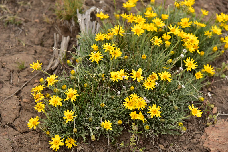
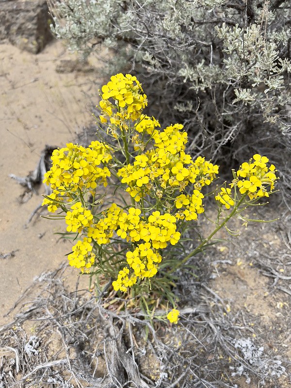
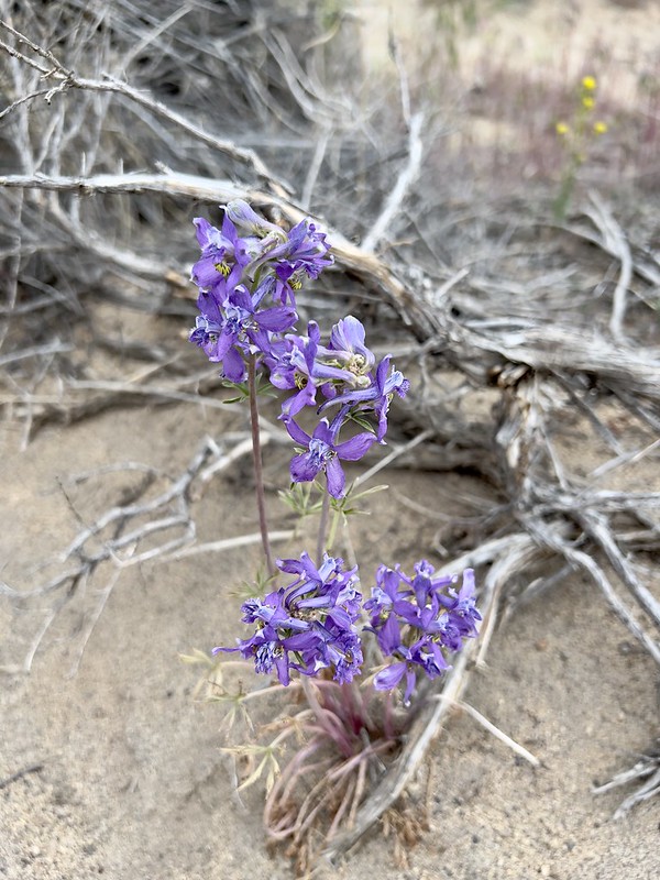
I quickly set up my tent and put nothing in it then headed out to Wagontire Mountain, hoping to beat the rain. I parked at a gate and walked the final 2.8 miles to the summit. (You can read the full report on my lookout blog.) I saw some nice wildflowers along the way:


The lookout on the summit is no longer staffed:


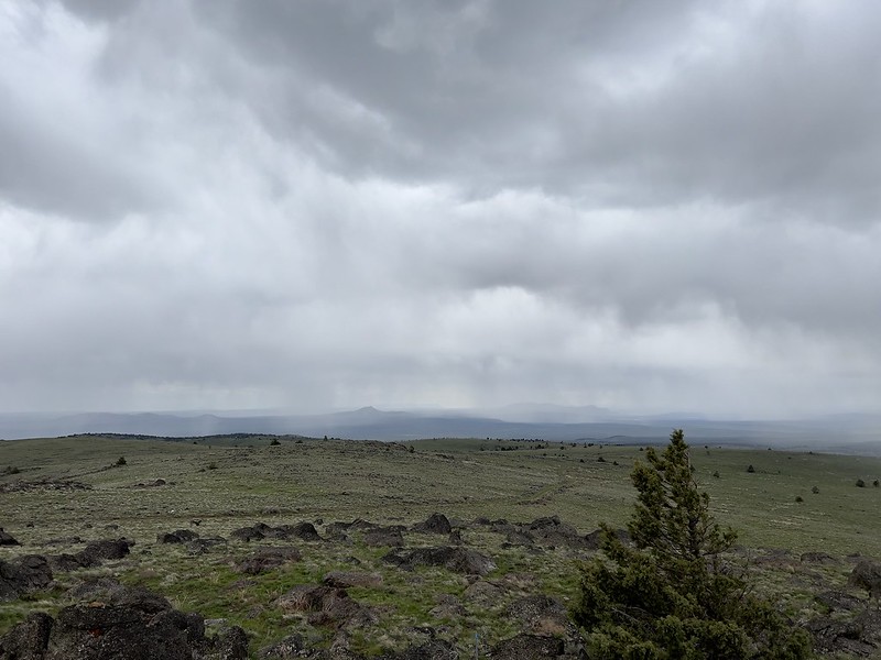
It was very very windy up there and rain squalls kept passing by:
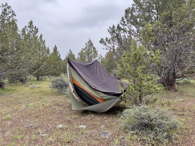
On the hike back down to the car I didn’t quite make it before a rain squall passed right over me. I sheltered under a juniper and waited for it to pass. On the drive back to my campsite it rained the entire way. When I reached the campsite my tent was nowhere to be seen. All I saw was the soggy ground tarp:
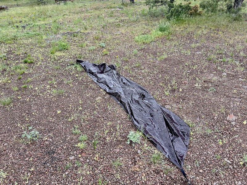
I walked into the trees looking for the tent and found it upside down. Lucky for me it blew that direction. If it had blown the other way it would have tumbled across the road and disappeared into the canyon on the other side:
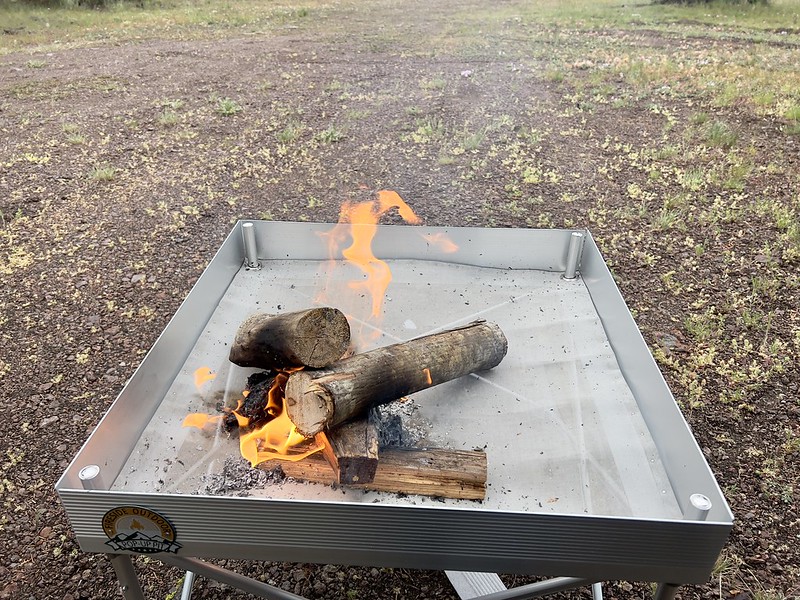
It was quite cold and damp that evening. I started a campfire but could never get it really going enough to make me warm and gave up:
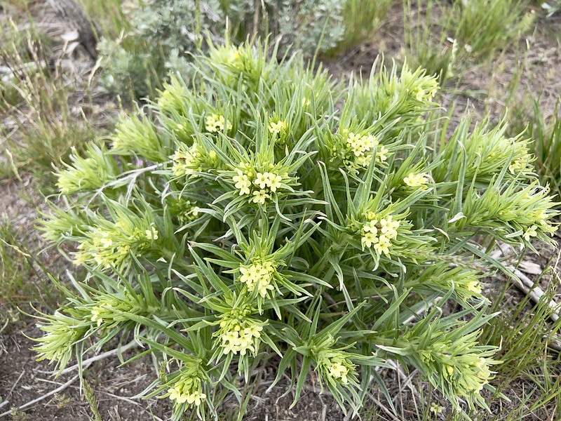
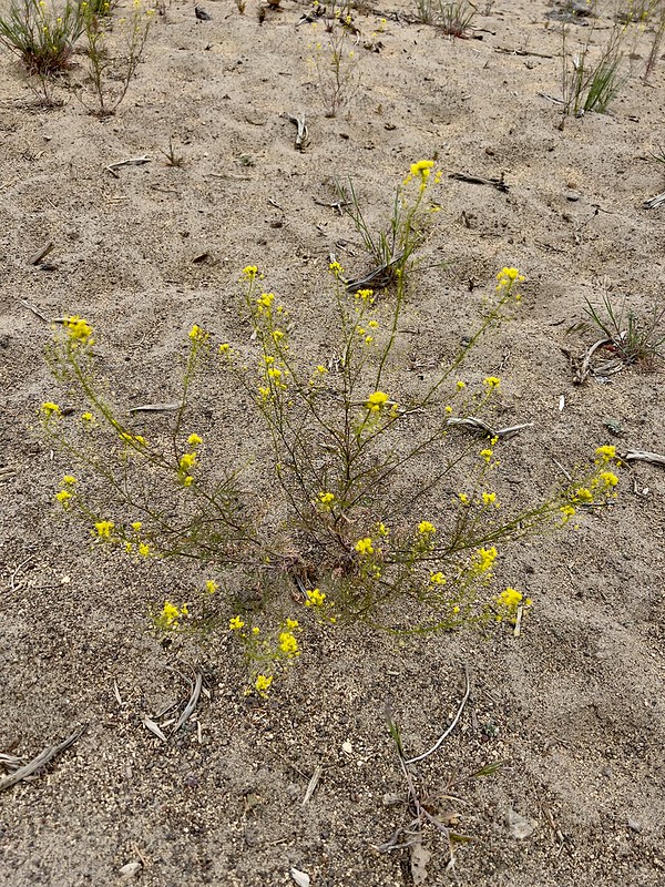
It rained most of the evening then finally stopped. It was calmer and dry Saturday morning and I went around admiring all the wildflowers blooming in this spot:


The weather forecast called for a doozy of a rainstorm Saturday afternoon along with the possibility of snow down to 5,000′, which would affect my campsite. I decided to bag the camping and I booked a hotel room in Burns for that night before breaking camp and heading off to Riddle Mountain. (Full report on my lookout blog.)
There is a drivable road all the way to the summit of Riddle Mountain but I was desperate for more exercise so I parked and walked. The is BLM grazing land and there were cows:

It was very cloudy and gray on the hike up, but I didn’t get rained on:

Then I reached the lookout on the summit, where it was also crazy windy like on Wagontire the day before:

Passing rain:

This lookout also is no longer staffed and there is a camera for remote monitoring:

On the hike back down I spotted a pronghorn antelope on a distant hillside, which I was able to photograph with my point-and-shoot:

About 90 seconds after I got back to my car it rained and hailed. Then the sun came out again. Here is the view looking back at Riddle Mountain on the drive out:

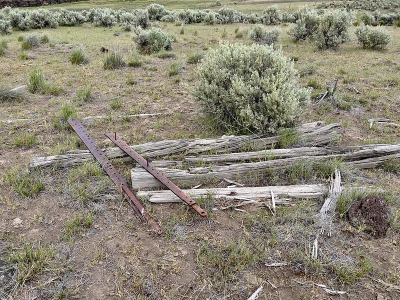
I stopped at this roadside ruin which is the old Coontown stagecoach stop:
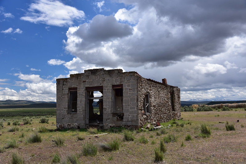

Part of the back wall has fallen:
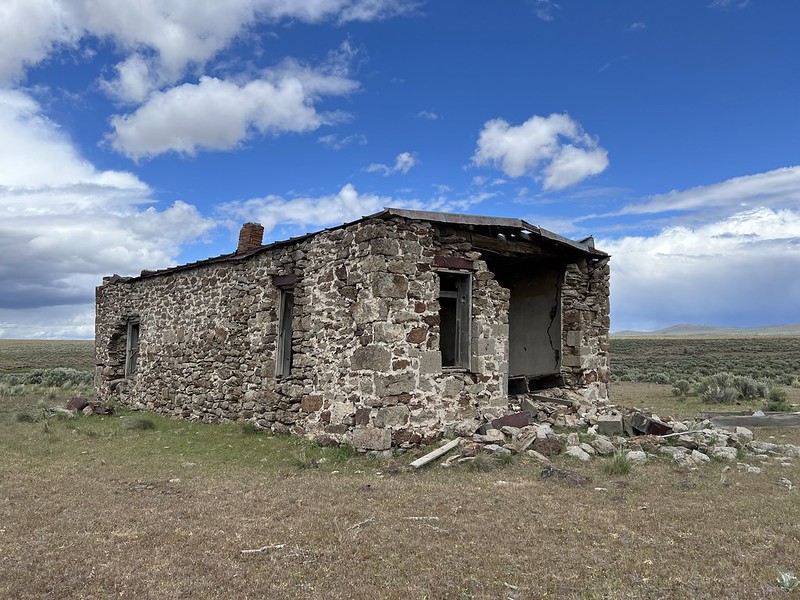

And one side:

There is some other old stuff lying around:

Next I stopped at the Pete French Round Barn. This barn was built in the 1800s by rancher Pete French. The barn was used to train horses to pull long wagon trains full of supplies to market:


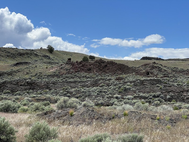
The next stop was Diamond Craters Outstanding Natural Area. This area covers 17,000 acres and has some of the most diverse basaltic volcanic features in the nation. It was formed sometime in the past 25,000 years and includes craters and vents, cinder cones, spatter cones, lava tubes, driblet spires, a graben, and a water-filled maar. There is a brochure with map and information available at the visitor’s center near the Pete French Round Barn.
These are flank flows from Graben Dome:
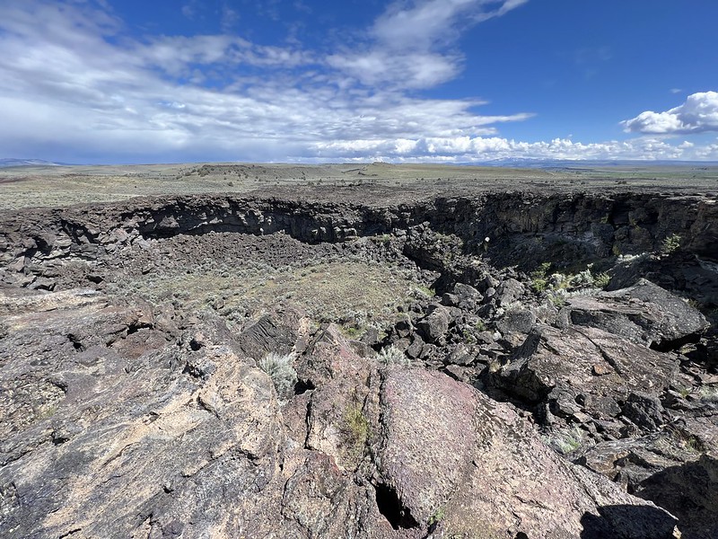
This is the Lava Pit Crater:
I had a view of Steens Mountain:

Red Bomb Crater:

East Twin Crater:

West Twin Crater:

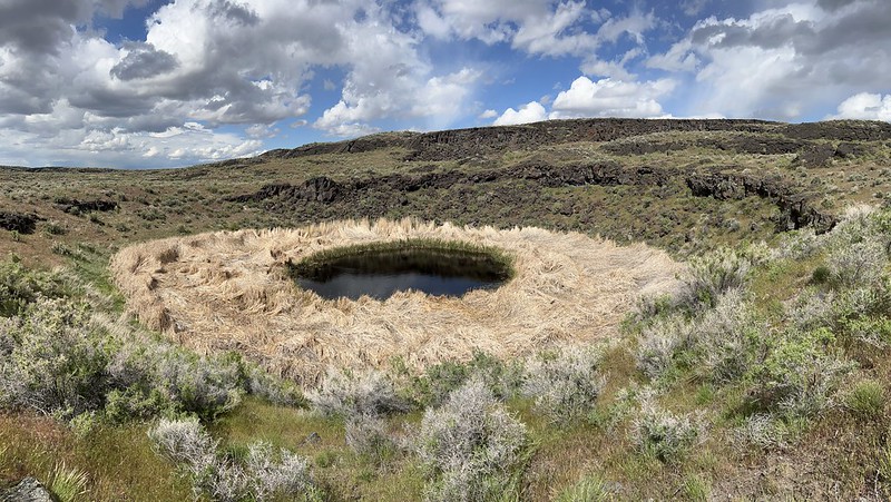
Dry Maar:
Having reached the end of the driving tour I turned and headed back to the highway. I could see the predicted storm to the west and it looked really ominous:

I was on Highway 205 heading to Burns when the storm hit me. Torrential rain, strong winds, and lightning. It made for some white-knuckle driving. Some of the streets in downtown Burns were flooded because it had rained so much. I was very glad I had reserved a hotel room in the morning because the place was all booked up by the time I arrived. Twice during my short time checking in the receptionist answered the phone and told the caller that they had no availability that night. I guess the rain had driven all the campers to seek out rooms.
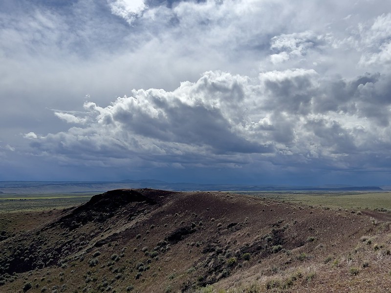
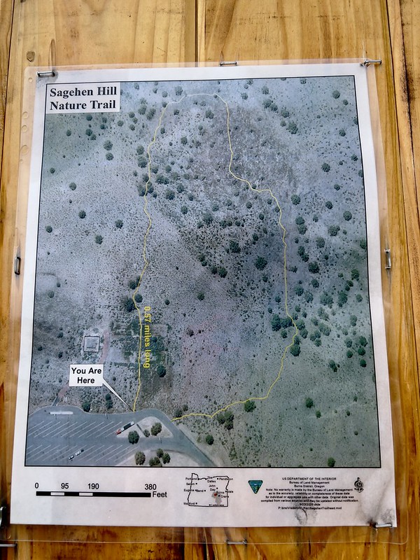
Sunday morning was cold and gray. I decided to head home a day early due to the awful weather. On my way home I stopped at the Sage Hen Rest Area west of Burns and hiked the very short Sagehen Nature Trail. It was a good way to stretch my legs before all the driving time ahead of me:


There were numbered posts along the way, but not brochure or sign explaining what each number meant:


On a whim I stopped at the Flatiron Rock Trailhead in the Oregon Badlands Wilderness and did a short hike there too. It was much less cloudy here:

This sign at the trailhead cracked me up:


After that I drove the rest of the way home. This definitely wasn’t a relaxing weekend. The bad weather stressed me out and I was constantly monitoring the forecast. I was bummed that the west side rain had managed to find its way east, which frequently happens when I visit the dry side of the state. Most of my trips to eastern Oregon in recent years have resulted in at least one rainy day.
Video:


