Saturday, October 6, 2018
After a warm night in our rustic cabin at Clear Lake, we had breakfast then headed out for some hiking. Blue Pool is a beautiful spot along the McKenzie River National Scenic Trail. It is only two miles from the nearest trailhead and it is horrendously crowded in summer (it has actually become quite a problem). I had never seen it and a rainy October day seemed like the perfect time to check it out.
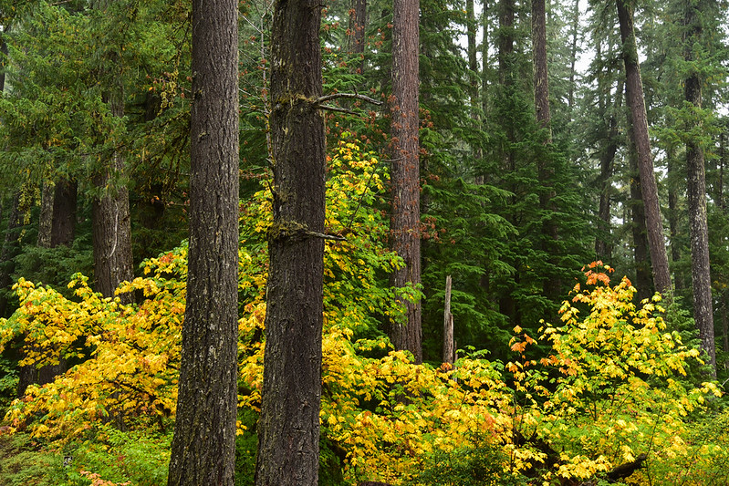
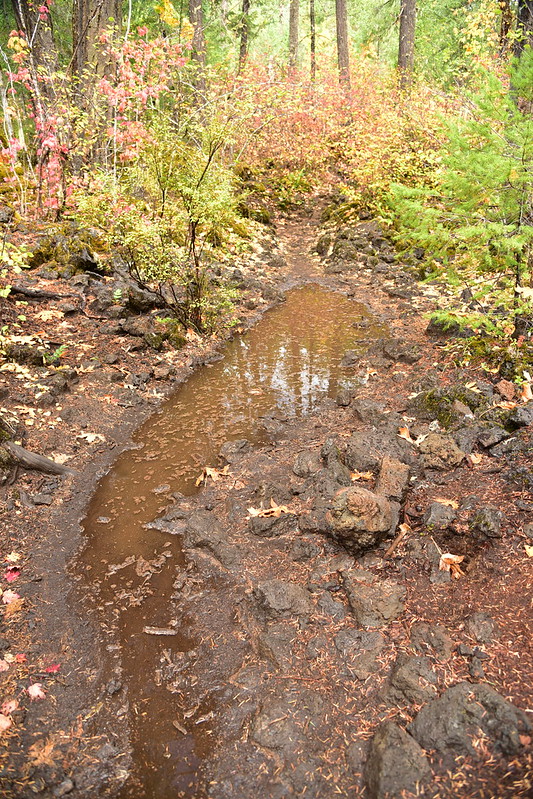
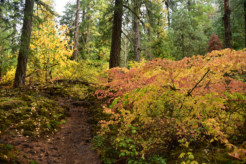
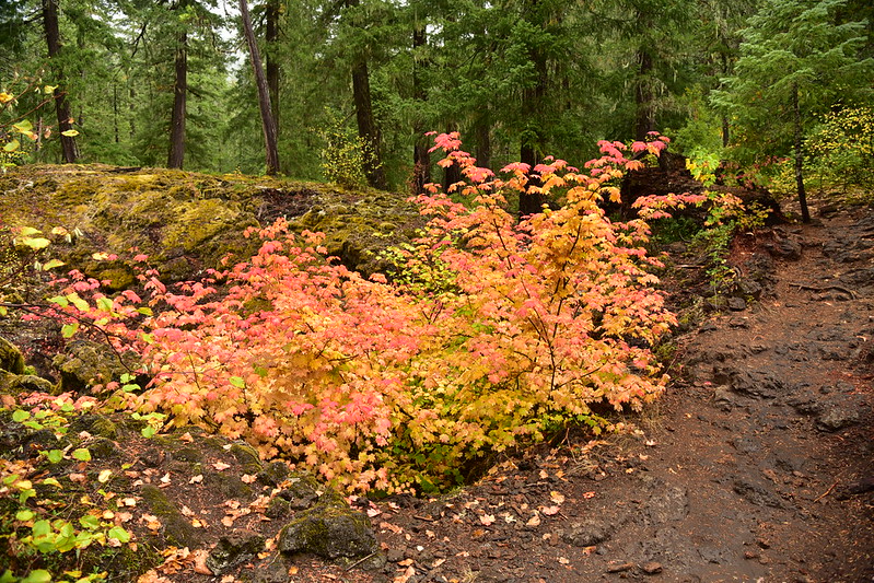
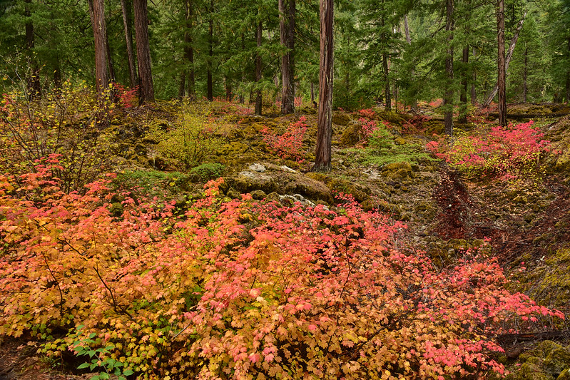
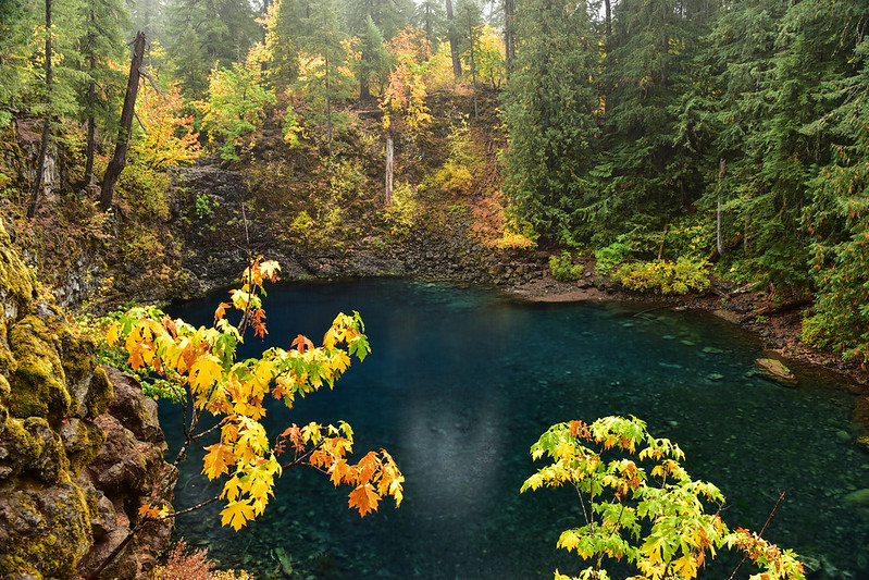
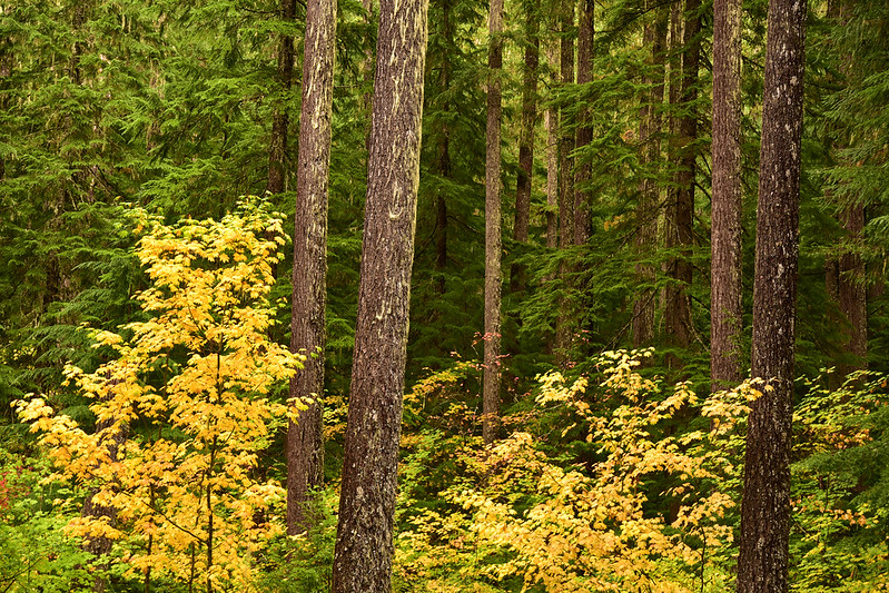
The fall colors were quite lovely:
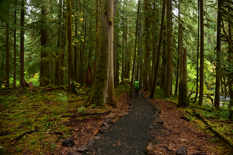
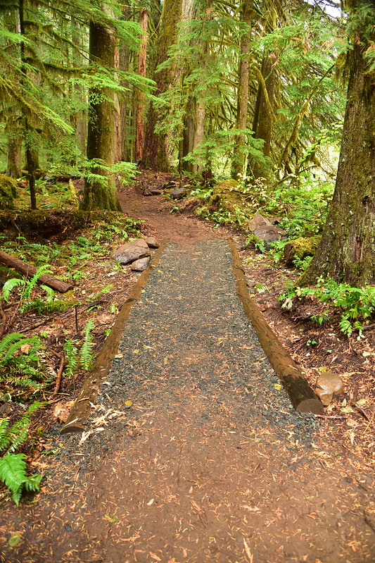
This is a very mossy forest:
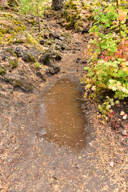
A crew had been out here the week before working on the trail, which is so overused. You could tell the spots they hadn’t hit yet:
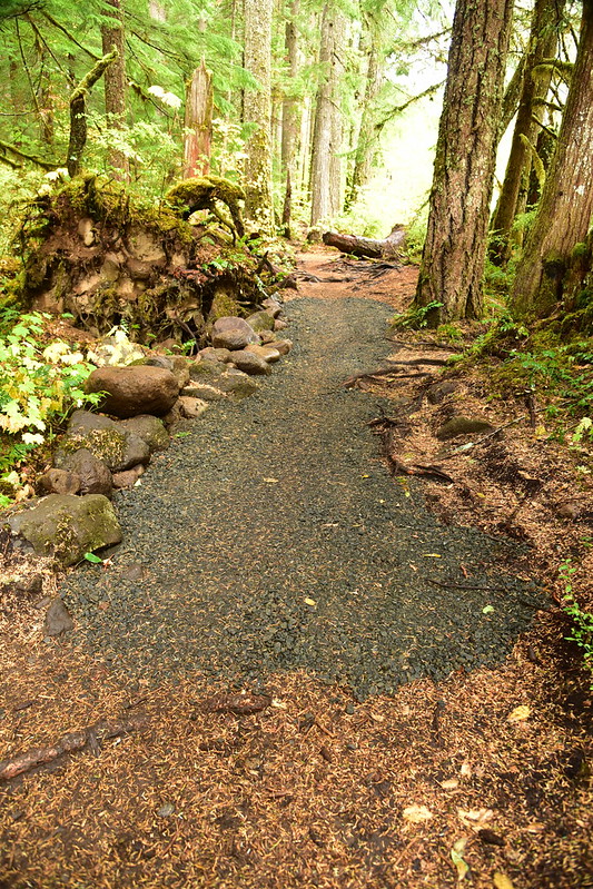
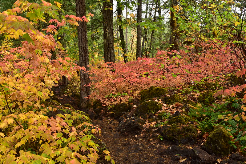
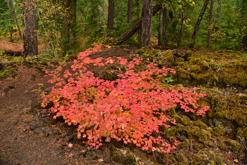
And the spots that they had:
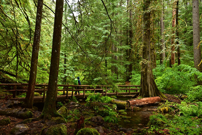
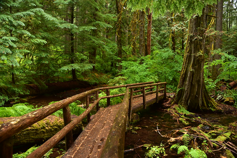
I loved this footbridge!
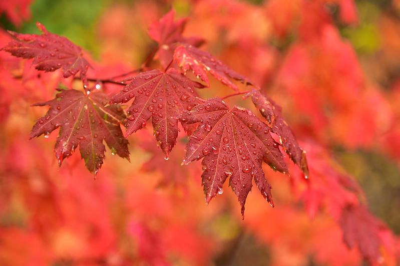
More vine maple in color:
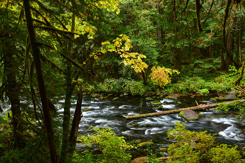
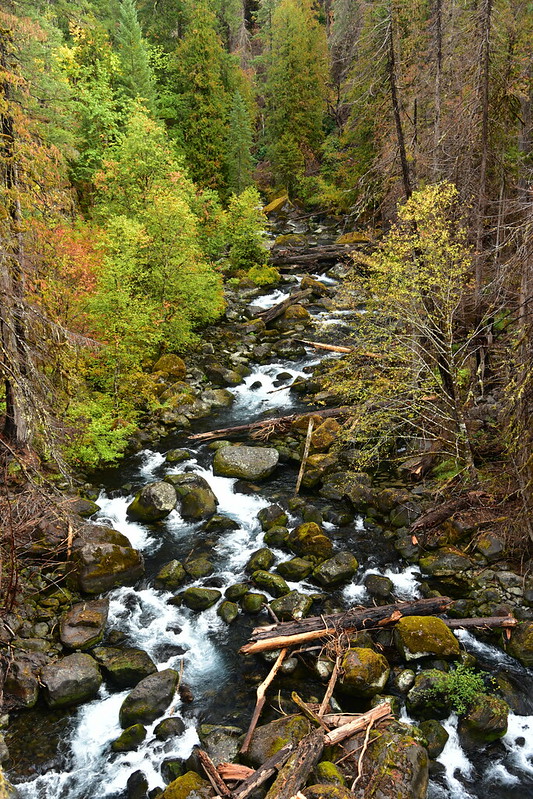
At one point we got a view down over the McKenzie River:
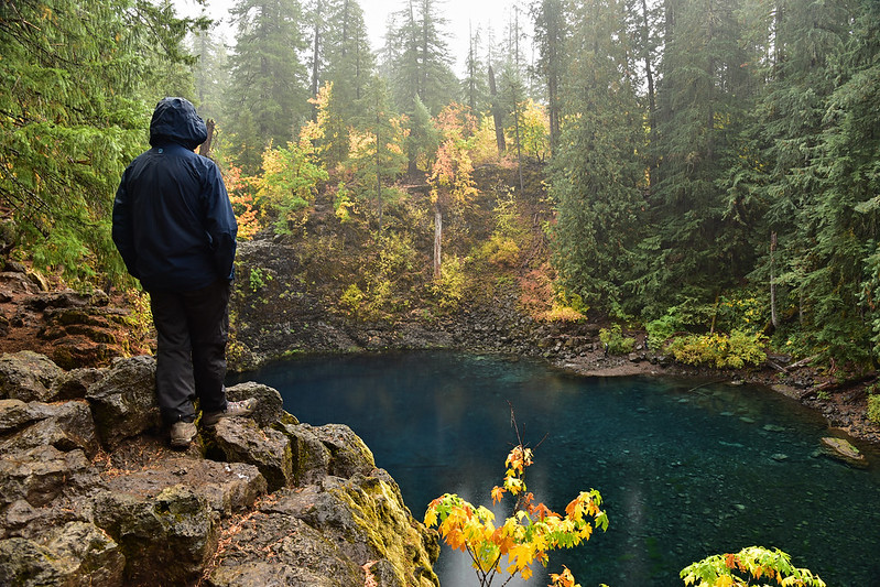
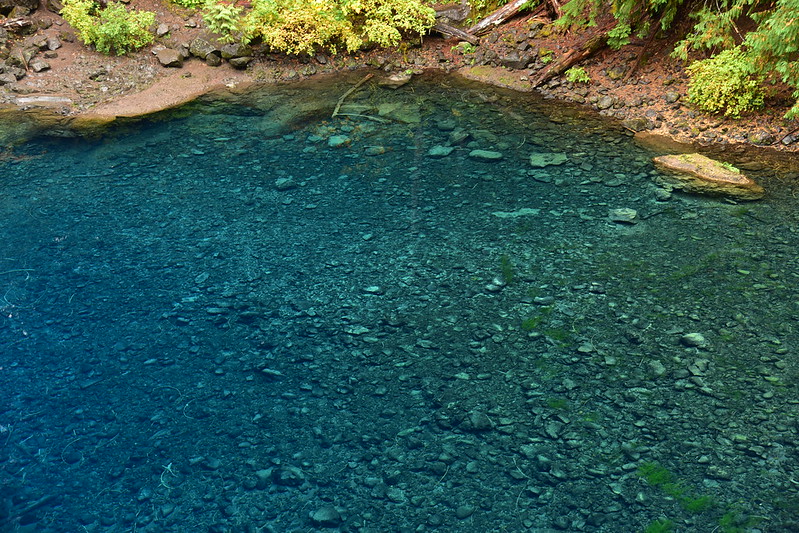
Then we arrived at the pool, which is not as blue as it is on a summer day, but still very pretty:
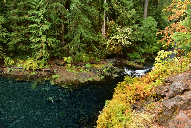
This is where the water flows out of the pool and downstream:
The pool appears to have no inlet. Sometimes water flows over the ledge into the pool (this is Tamolitch Falls), but usually that waterfall is dry. This is from the Forest Service website:
A lava flow from Belknap Crater 1,600 years ago buried a 3 mile (4.8 km) stretch of the McKenzie River between Carmen Reservoir and Tamolitch Falls. The river resurfaces at Tamolitch Pool at the base of dry Tamolitch Falls, seeping up to the surface through the porous lava, creating a pristine turquoise blue colored pool. The water, a chilly 37 degrees Fahrenheit (2.8 C) on average, reflects the surrounding cliffs covered with alder and evergreen trees. While the falls are dry the majority of the time, during wet winters the river can flood over the lava bed and Tamolitch Falls will flow.
In addition to the lava, the water upstream is diverted. From the Northwest Waterfall Survey:
Were it allowed to flow unchecked, the falls would still flow naturally for at least 5-6 months of the year, though greatly reduced involume from what flows over Koosah Falls. However just downstream from Koosah Falls the Carmen Reservoir diverts the majority of the river into the Smith-Carmen Hydroelectric system which effectively removes the portion of the river which would naturally flow over Tamolitch Falls during the spring and early summer months. Only when the river exceeds the capacity of the Smith-Carmen diversion will the falls potentially flow.
On the hike out we encountered a whole lot of people hiking in. I was surprised how many people were doing this trail on a cold drizzly day, and I was glad we had gotten an early start.
After that we headed up Highway 242 to the Proxy Falls trailhead. The drive was absolutely gorgeous, with lots of beautiful color along the highway:

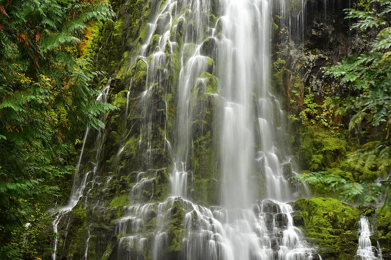
We hiked to Upper Proxy Falls first, which is by far the more beautiful of the two falls:
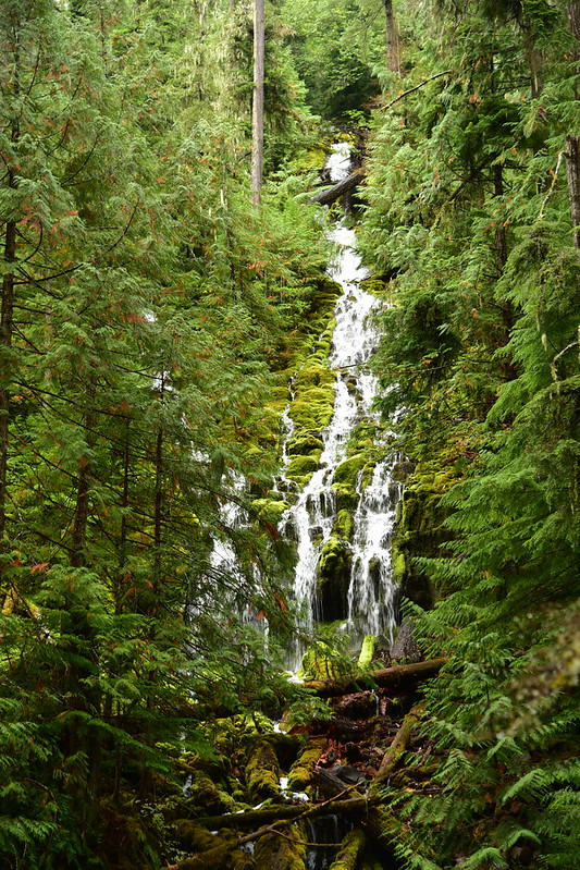
Then we visited Lower Proxy Falls:
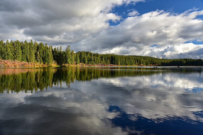
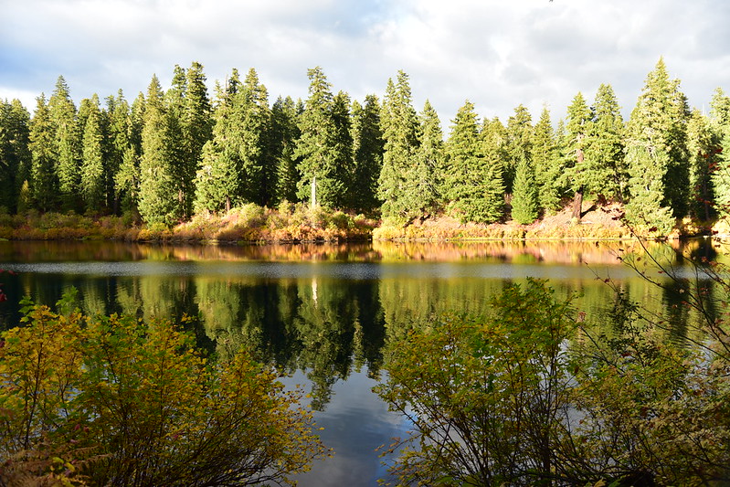
Back at the lake the weather was starting to clear up a bit. Greg rested in the cabin while I wandered the lakeshore taking photos:
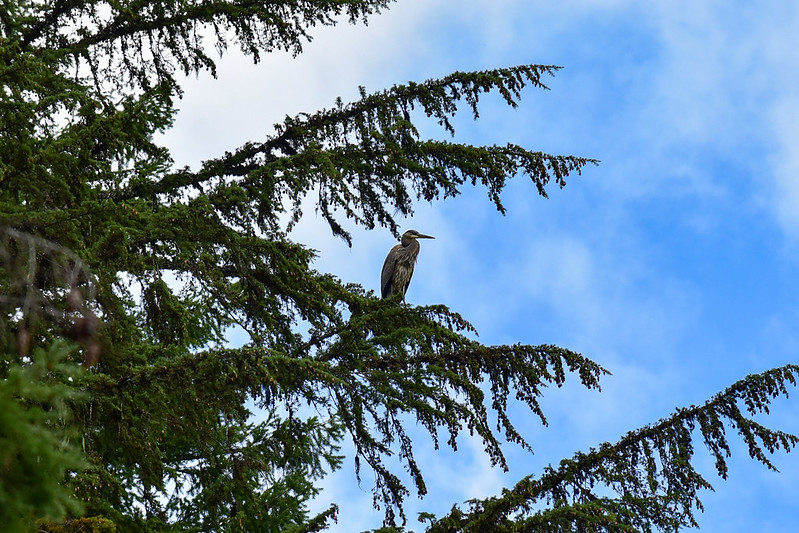
I was astonished to see this heron land in a tree!
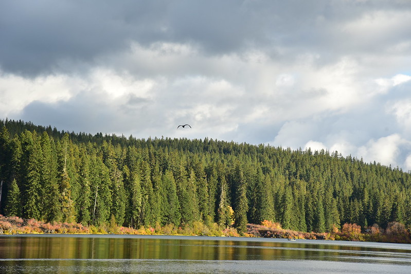
Then he took off across the lake:
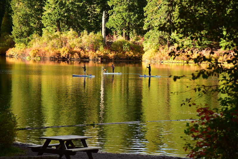
I saw some stand-up paddle boarders. I was amused to see a dog on the board with them:
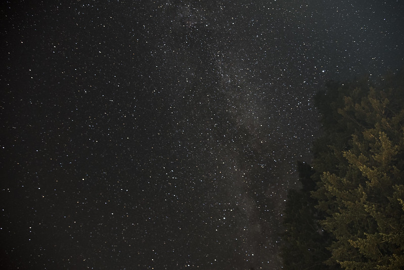
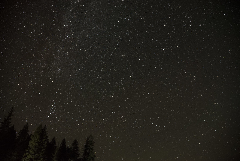
That night I went down to the lake to see if the skies were clear enough for star photography. I was very pleased to see thousands of stars overhead.
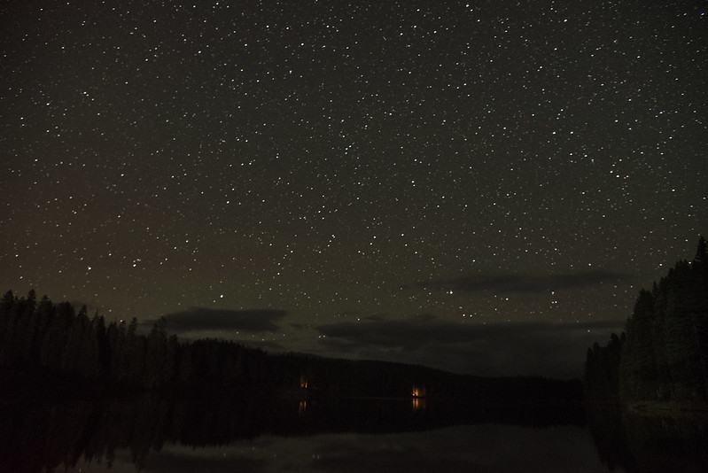
While I was enjoying the stars I heard an owl hooting nearby. So cool! A perfect way to end the day.


