June 24, 2018
The first time I visited Silver Star Mountain in 2006 I went with my sister and we took our Dad’s pickup because the road was described as being pretty rough. Back then we drove Road 41 and Road 4109 from Sunset Campground and it was a bit of an adventure, with rough potholed roads.
I’ve been back numerous times since then, eventually switching to a slightly different route via Road 1100 (much better road) that connected up with Road 4109 for the last 2.7 miles. Those last 2.7 miles have been getting worse and worse over the years, and after driving it last year in our Outback, Greg and I vowed we’d never drive that road again. (I actually traveled on that road the next weekend, but not in my car.)
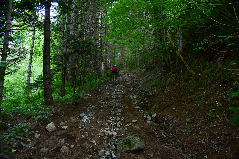
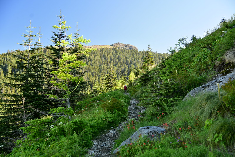
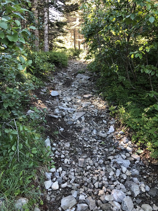
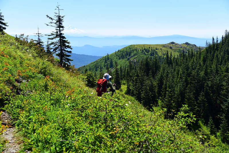
So Greg and I headed to the Grouse Vista Trailhead today to hike up that way (here is a description of the hike). The road access is much better. We got up very early to avoid the crowds and the heat and started hiking at 7:30am. The trail is an old road and it starts out steeply, climbing up through the trees. Large rocks litter the old roadbed.
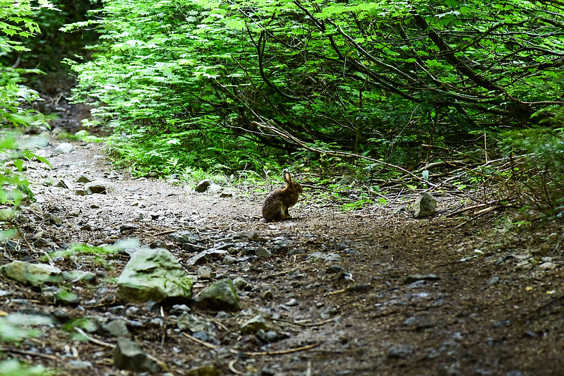
This cute rabbit was on the trail ahead of us. He held still for a surprisingly long time before finally hopping away.
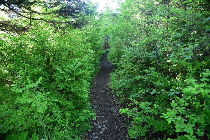
After gaining 600′ in three-quarters of a mile the trail leveled out a bit for awhile:
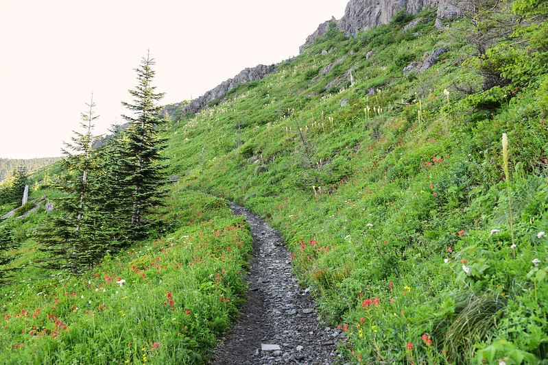
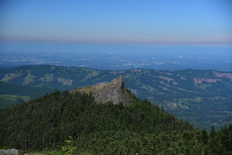
Around the one-mile mark we emerged out into some open areas and we could see ahead to Sturgeon Rock (left of center):
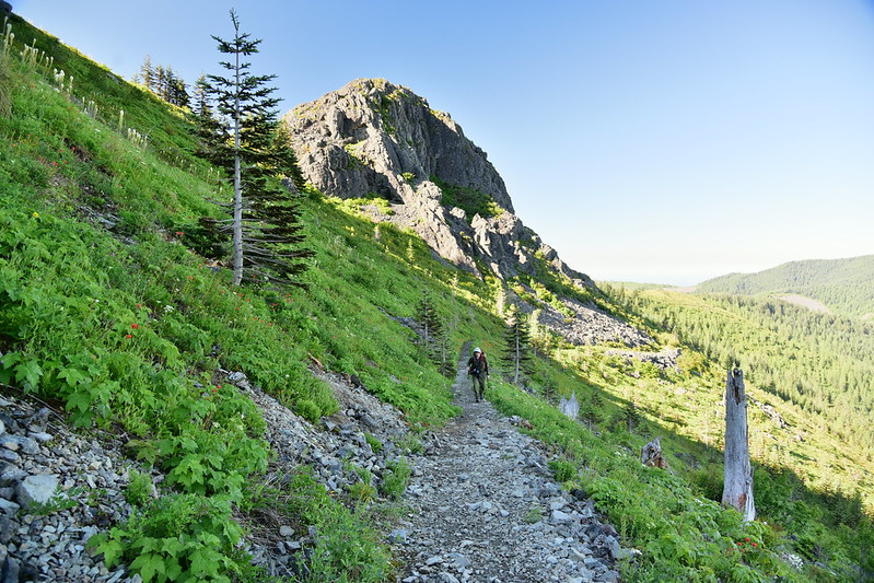
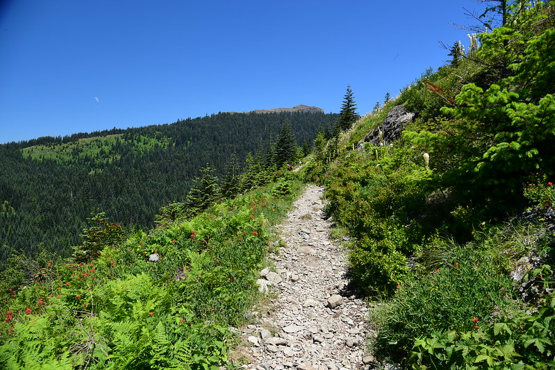
Looking back down the trail:
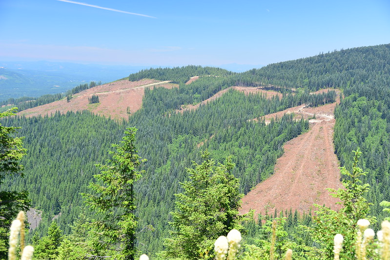
Ugly clearcuts:
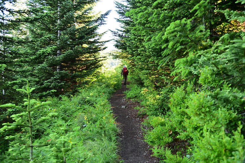
Then we were back in the trees:
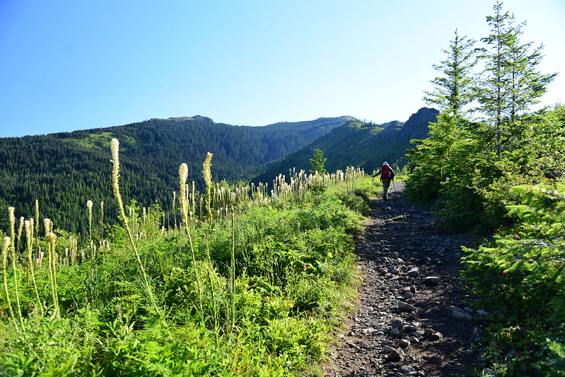
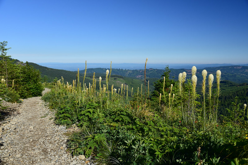
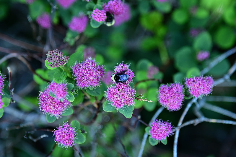
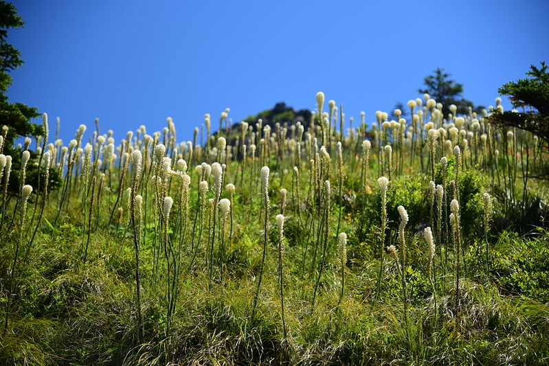
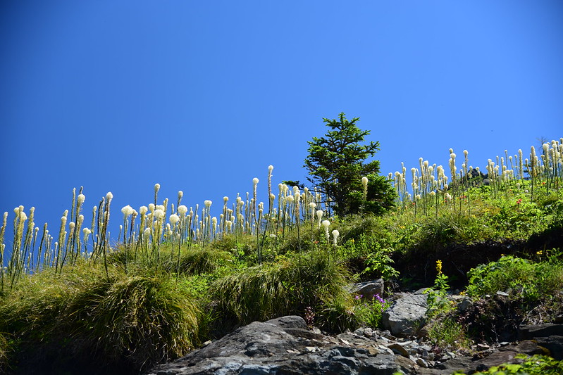
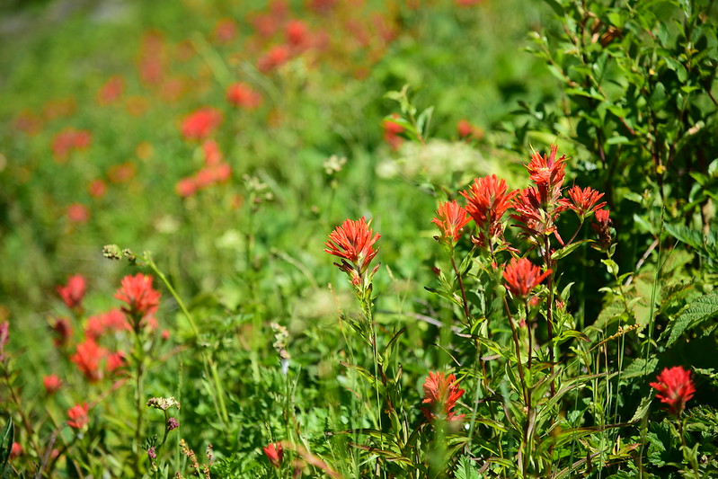
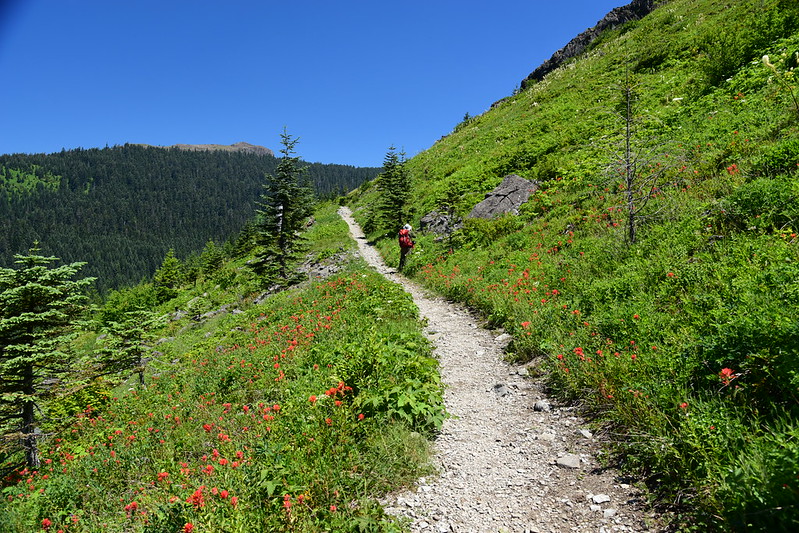
And back into the open. The wildflowers were nice on this stretch:
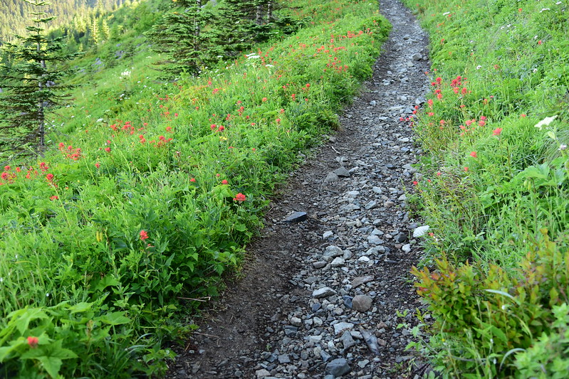
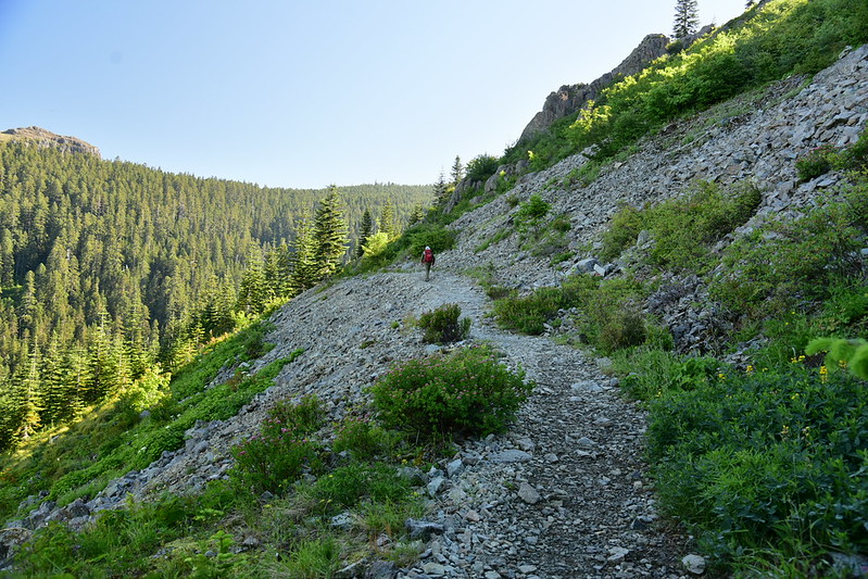
The steep rockiness continued. This trail is in very bad condition.
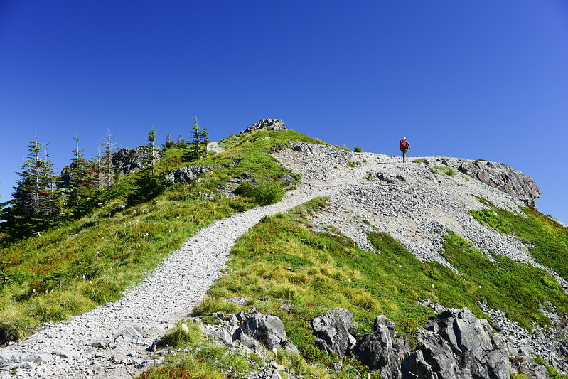
After 3.1 miles and 1700′ elevation gain we reached the junction with the summit spur trail. Last push to the summit!
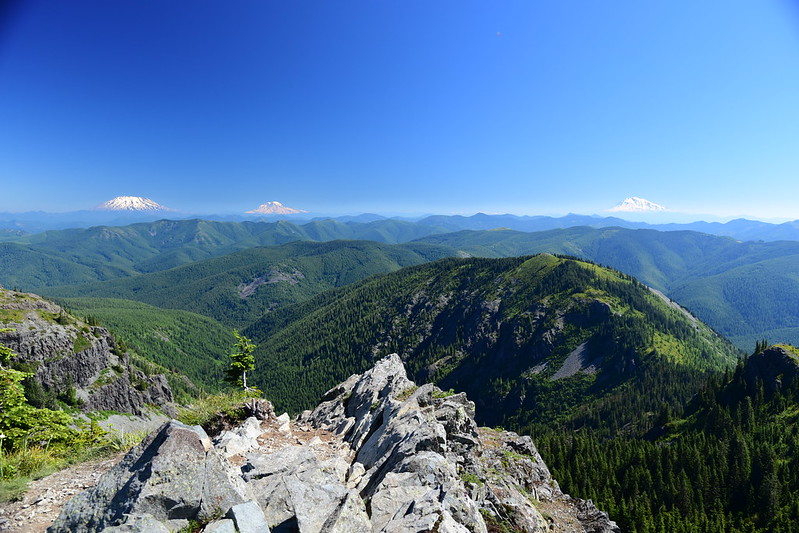
We lucked into a clear day with views of the Cascade volcanoes. Mt. St. Helens and Mt. Rainier:
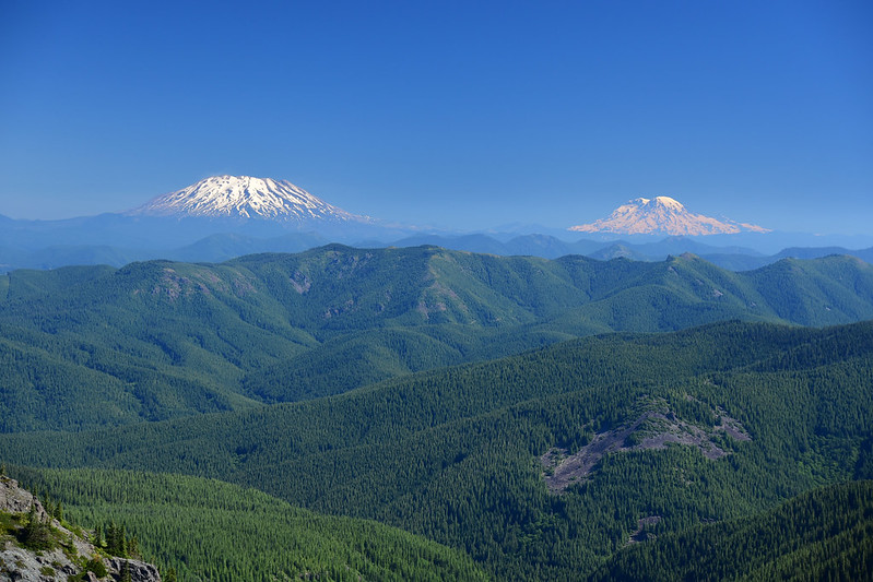
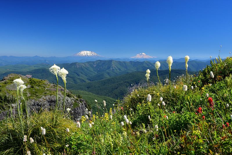
Mt. St. Helens and Mt. Rainier and Mt. Adams:
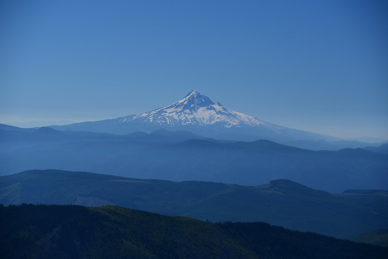
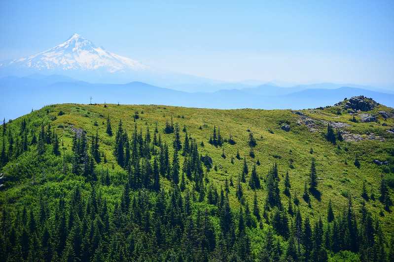
Mt. Hood:
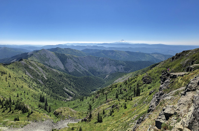
Sturgeon Rock with yucky haze on the horizon beyond:
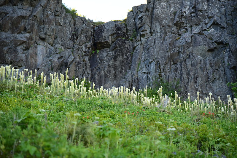
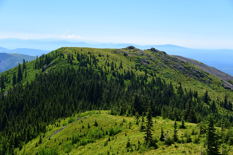
After leaving the summit we took the side trail towards the Indian Pits hoping to see beargrass, but there wasn’t much there so we didn’t go all the way. Mt. Hood loomed in the distance:
Back on the main route we descended back to our car, passing numerous people heading up. It was really warming up by this point and I was glad to be going down, not up. Here’s a shot looking back up the trail (that’s Sturgeon Rock in the background):
We got back to the car at 1:30. The final mile was pretty grueling. It was impossible to maintain any rhythm on the descent because of all the rocks on the trail. I had to pick my way along, navigating the rocky obstacle course. It was as mentally challenging as it was physically exhausting since I had to concentrate on every step so that I didn’t fall on the rocky trail.
Although this route has better road access, the trail doesn’t even compare to the route on the north side, which is MUCH more scenic, with way more views and flowers. But of course that trailhead requires driving on a wretched road.
Here’s video of our hike:


