May 26, 2018
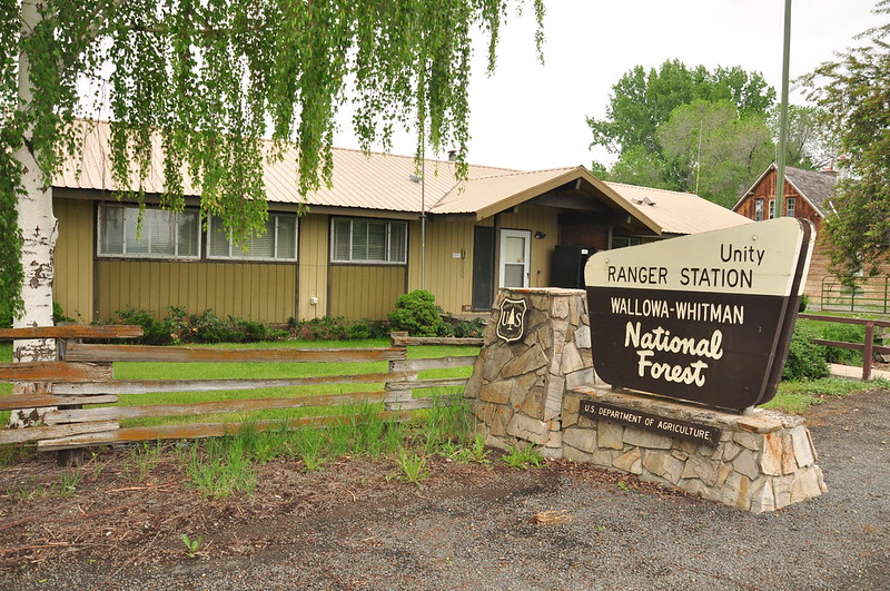
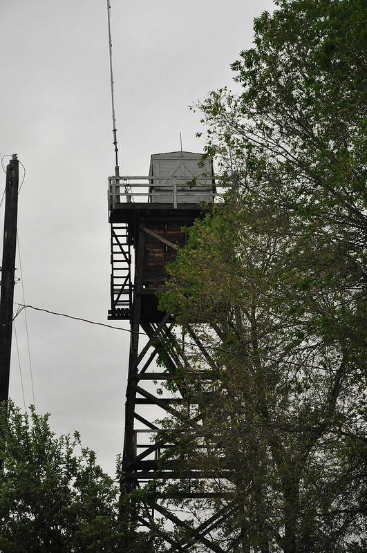
The wild weather was gone today and left cold overcast weather in its place. After breakfast we stopped in Unity to get a signal and check the weather. While we were there we stopped at the Unity Ranger Station to see the fire lookout there:
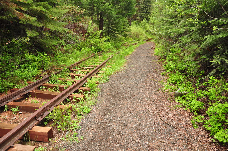
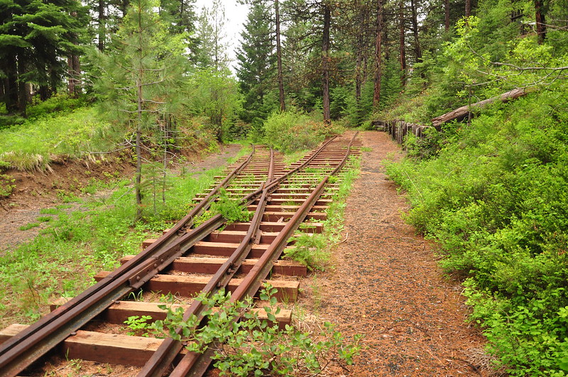
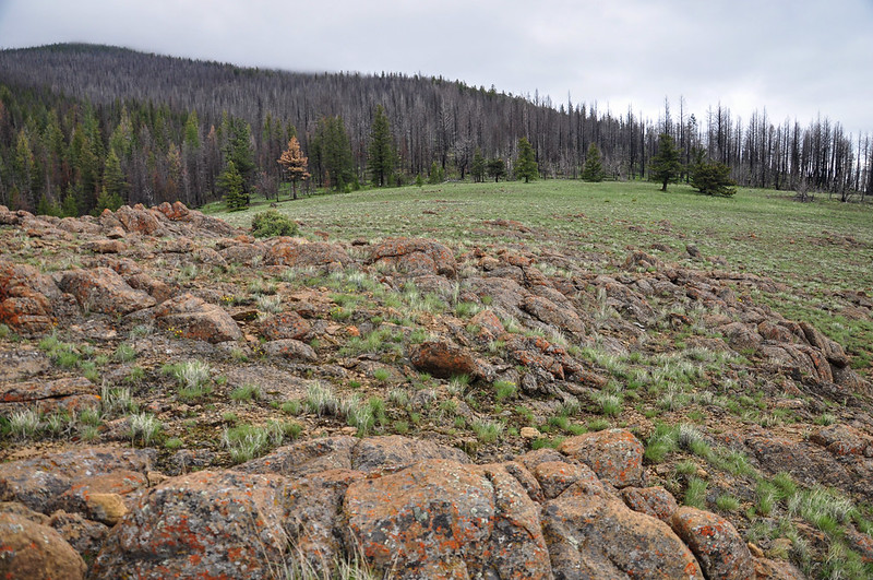
We stopped at the Sumpter Valley Interpretive Trail. “The trail overlooks the historic Dixie switchbacks that were used and abandoned by the Sumpter Valley Railway. The switchbacks were built to maintain acceptable grades into the John Day Valley. At 5,277 feet, it was the highest point on the original Sumpter Valley Railway mainline.” We headed down the short interpretive trail, where it appears a fire burned in the not-too-distant past:
There are some tracks here, along with signs explaining the history of the railroad:
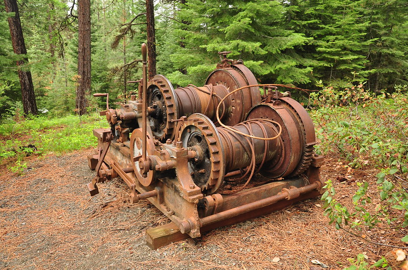
Old equipment:
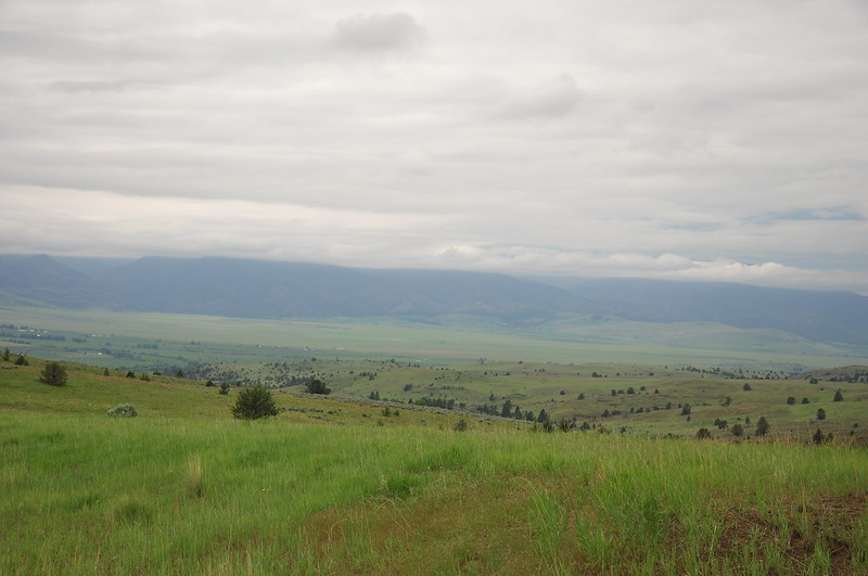
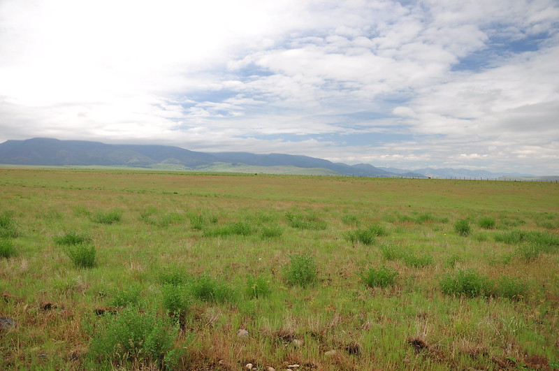
Continuing west on Highway 26 we stopped at a viewpoint near Prairie City. We should have been able to see Strawberry Mountain and Canyon Mountain, but they were hidden in the clouds:
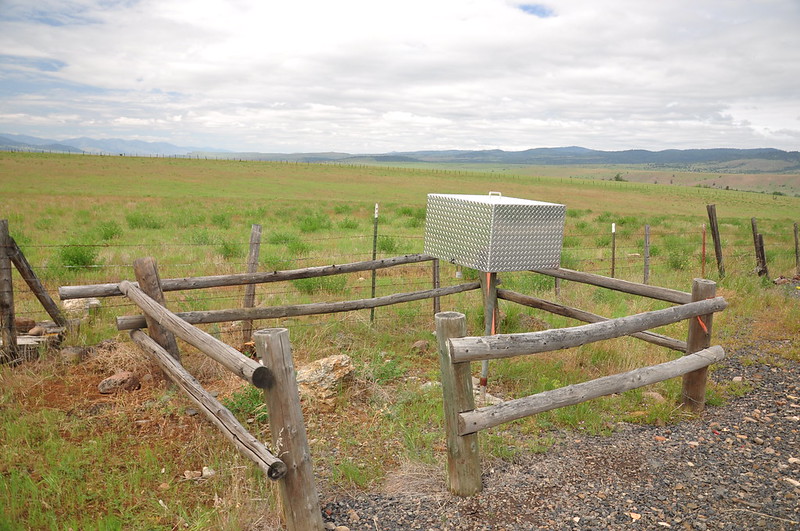
There is a firefinder in a locked metal box by the side of the road south of Prairie City so we stopped to check it out:
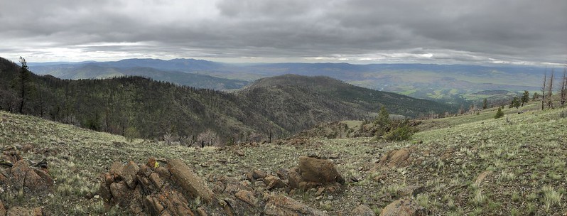
The view from this spot was cloudy today:
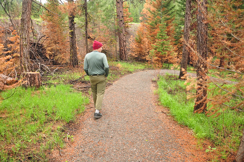
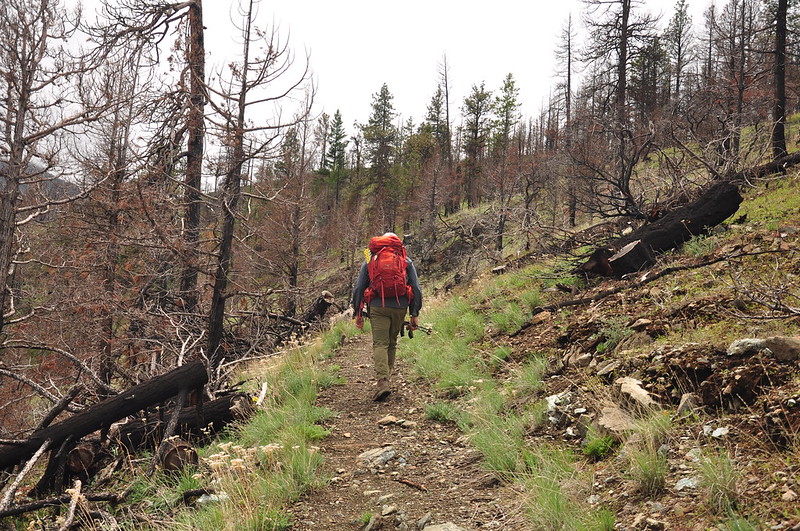
Getting to the trailhead involves driving up, up, up a fairly decent road above Canyon City to the Canyon Mountain Trailhead. No signs here except this one warning about hazards:
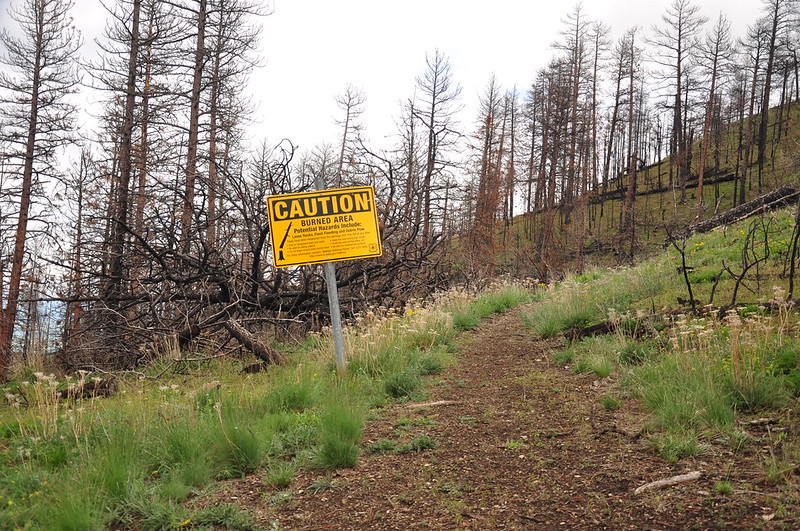
This was no surprise as we knew that this area was burned in the 2015 Canyon Creek Fire. In fact we were fully expecting to encounter some blowdown on the trail. I had called the ranger station the week before asking if they knew what conditions were like. The recreation manager told me that his summer trails crew wasn’t being deployed until the day after Memorial Day, so he had no intel. We hoped for the best and set off down the trail.
For a short time we could turn around and see Little Canyon Mountain through the burned trees:
A road goes up there and we were treated to the incredibly obnoxious sound of about a dozen ATVs climbing up the road from below and the continuing up to that summit. I was glad when we rounded a corner and left that noise behind.
We came around a bend in the trail and found that Canyon Mountain’s summit was hiding in the clouds:
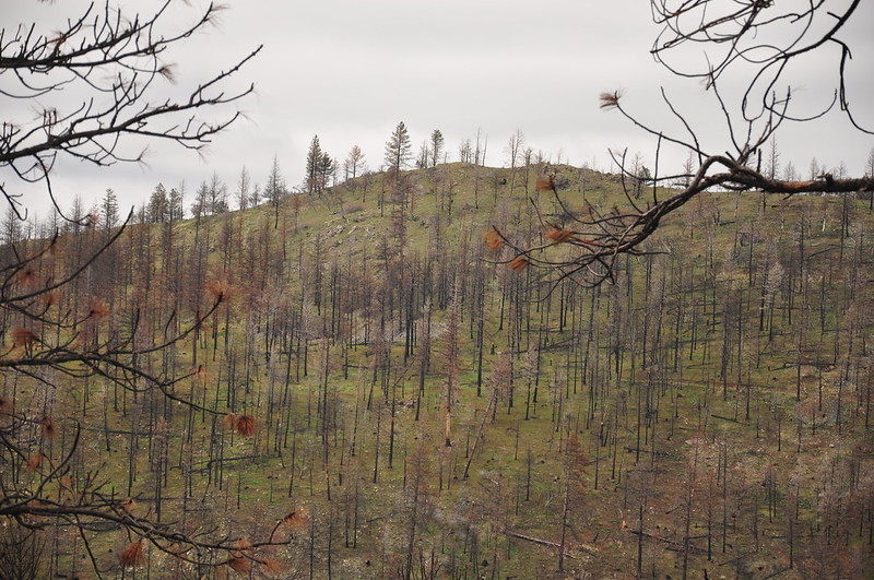
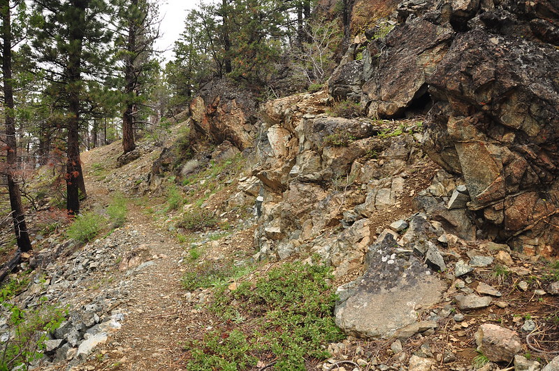
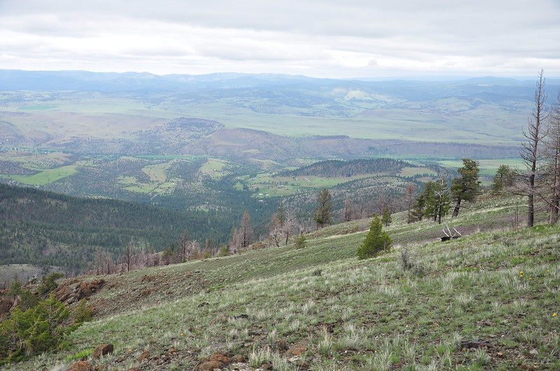
Despite this trail’s name, it doesn’t go to the summit of that mountain. It just curves along the north flank before continuing in a generally easterly direction. Despite not getting to a summit, we were already seeing views thanks to the lack of trees. Here’s a peek at the John Day Valley below:
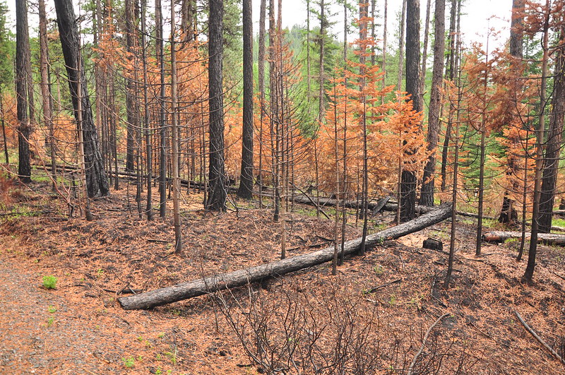
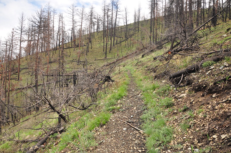
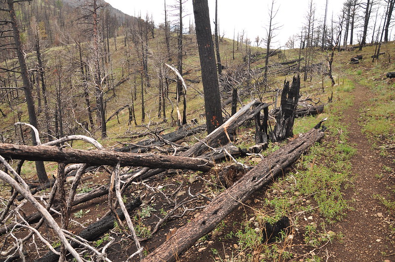
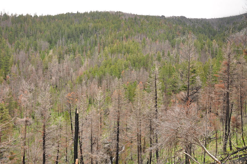
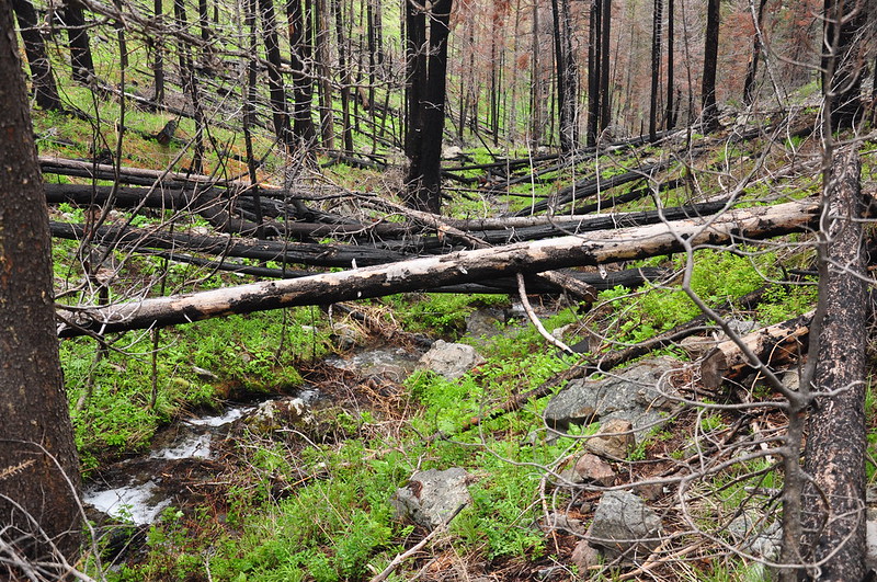
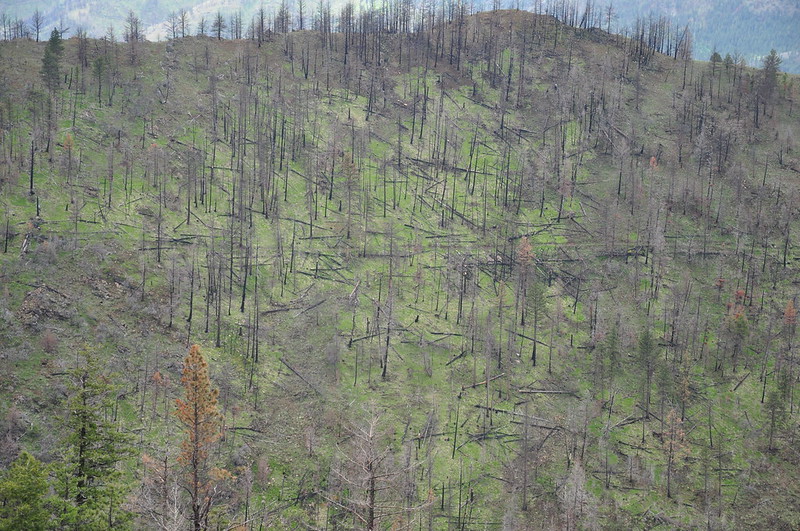
This forest was burned pretty badly. It was an intense fire, started by lightning on August 12, 2015. It burned more than 40 house, about 100 other buildings, and thousands of trees over 110,000 acres. In some places the fire reached temperatures of 2,000 degrees:
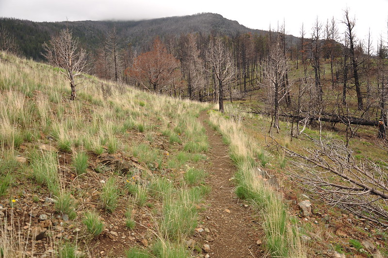
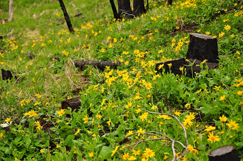
Despite the burned trees, the vegetation was coming back:
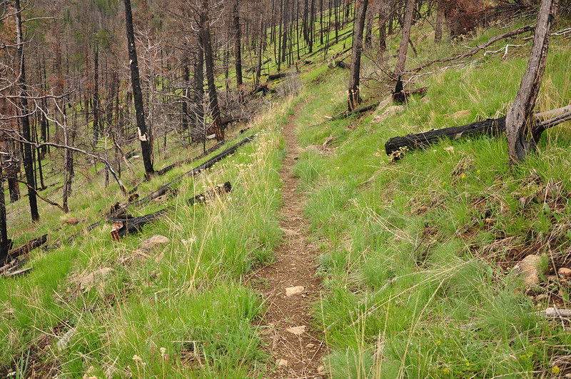
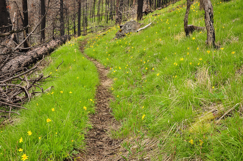
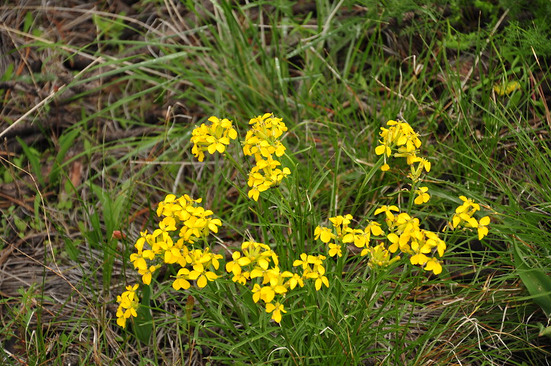
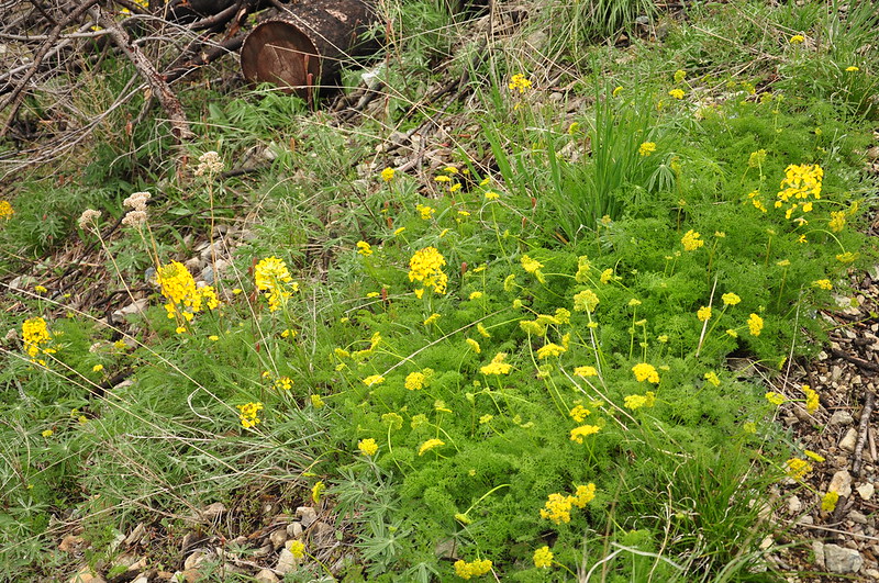
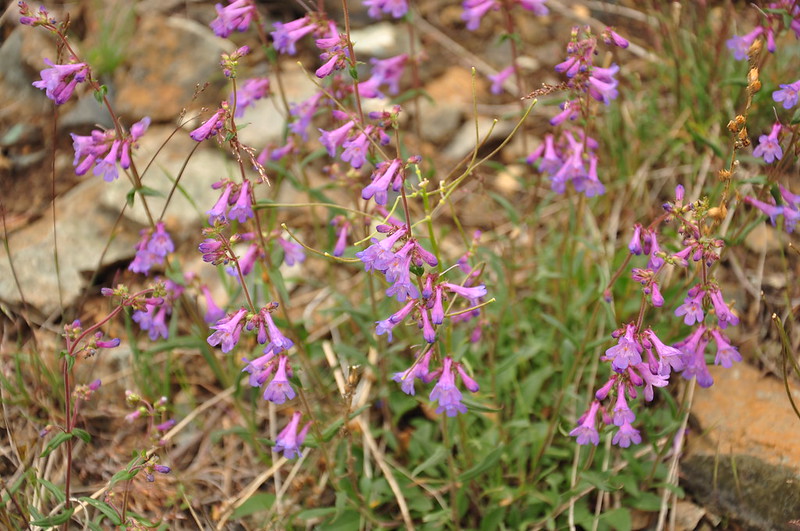
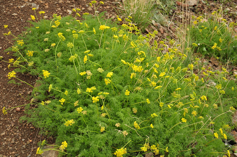
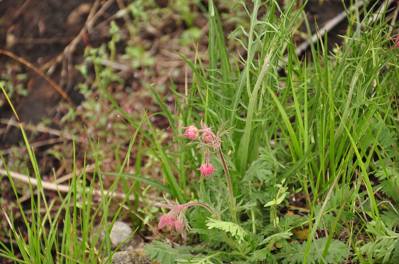
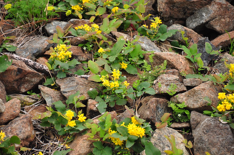
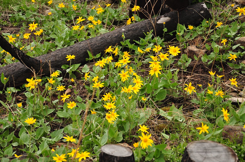
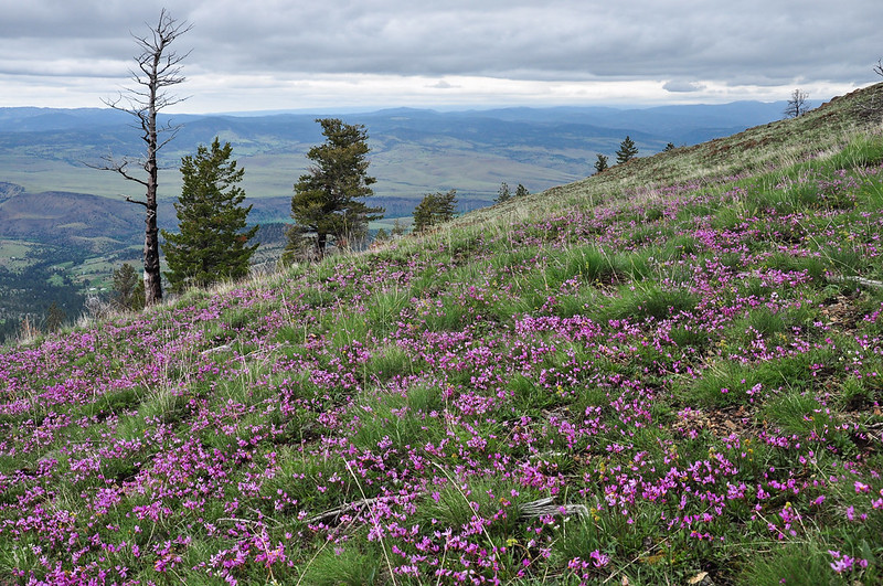
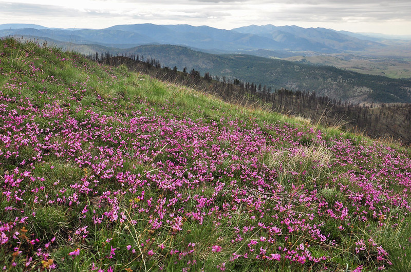
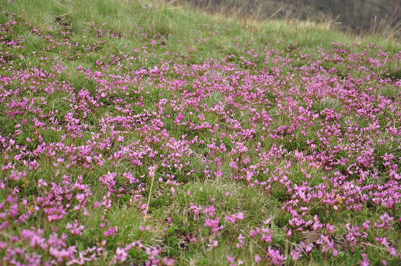
We were pleasantly surprised by the numerous wildflowers we saw:
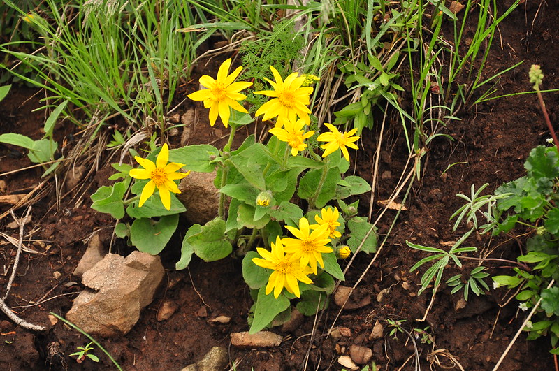
The arnica was especially awesome:
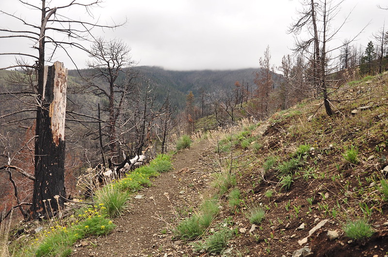
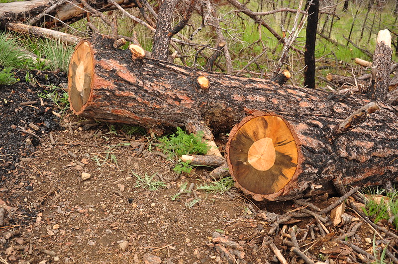
Although I’d been told that no trail crew had been through here yet this season, there were several cut trees that looked pretty recent. Maybe a local?
As we got closer to Little Pine Creek we saw more alive trees on the slopes:
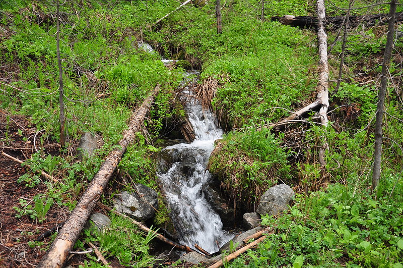
At 1.6 miles the trail crossed the creek:
I sat and ate a snack and waited about 25 minutes for Greg to catch up. He was busy with the wildflowers, though, and it was too cold to keep waiting, so I kept going:
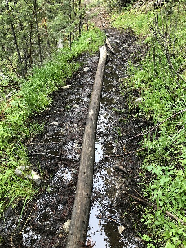
This was the first significant obstacle:
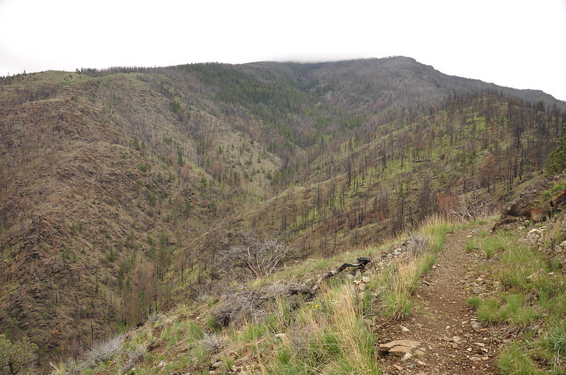
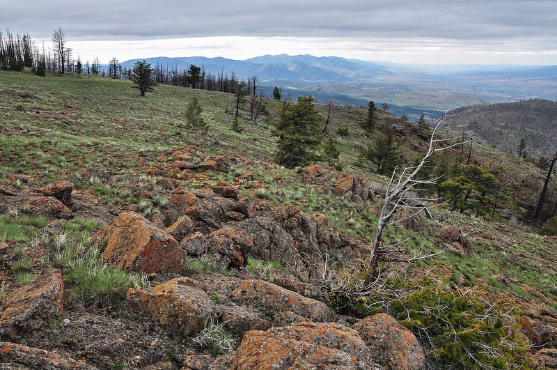
At 2.1 miles the trail emerges into a meadow where there are great views to the west, north, and east:

We could see the trail we’d hike in on:
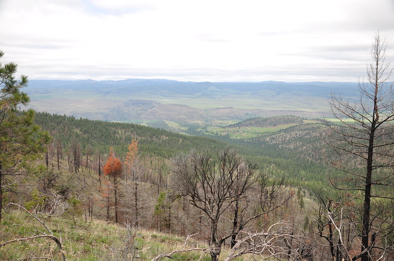
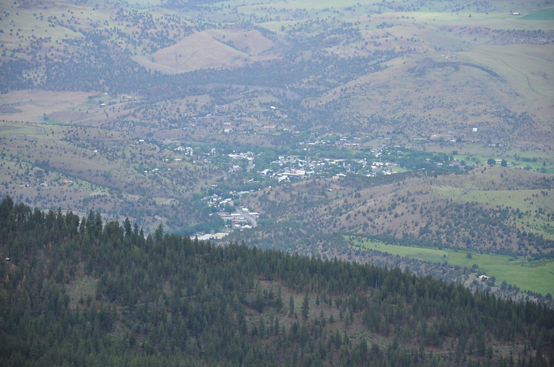
And there’s the town of John Day:
This meadow also had a nice big patch of shooting stars:
Still waiting for Greg, I took the trail a bit further as it switchbacked up through the meadow. At the top of the meadow I could see that the trail was about to re-enter the forest, so I went off-trail a very short distance to this pile of rocks:
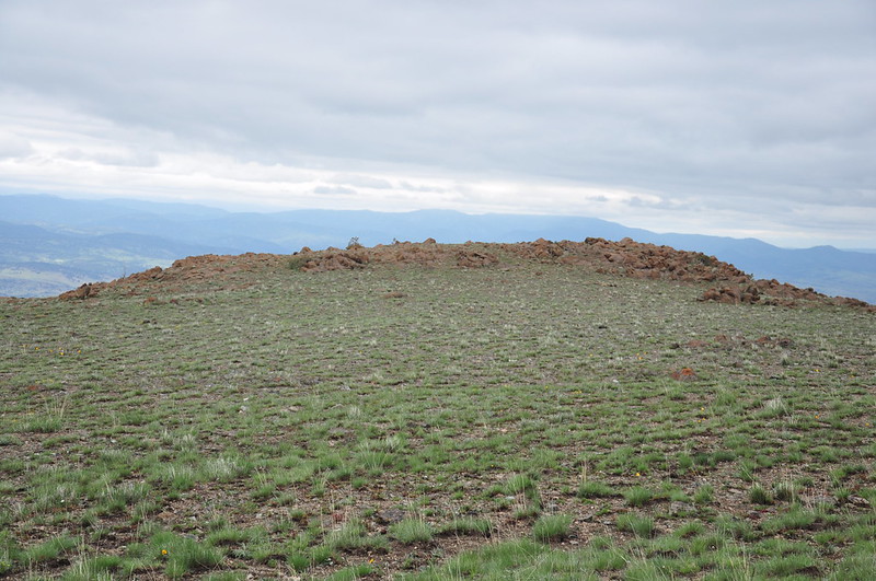
The views from there were pretty similar to what I’d seen in the lower part of the meadow. It should be noted that I was now at about 6,400′ and had not seen one patch of snow so far:
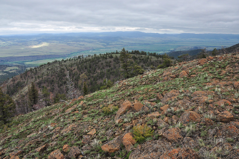
Looking back towards the trail over there by the trees:
I turned around here and headed back, finally catching Greg, who lingered for awhile with the shooting stars. I got back to the car at 5:20 and Greg got back at 5:45. The hike was about five miles with 1100′ elevation gain. Canyon Mountain Trail #218 stretches for 37 miles though the Strawberry Mountain Wilderness to the Skyline Trailhead on Road 101. In his book Sullivan mentions that the trail is faint on that end, and his book was written before the fire so who knows what condition the trail is in. We were pleasantly surprised to not encounter ONE SINGLE TREE across the 2.5 mile stretch we explored.
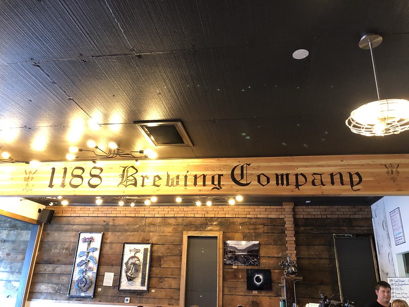
We headed down to John Day and decided to have dinner at 1188 Brewing:
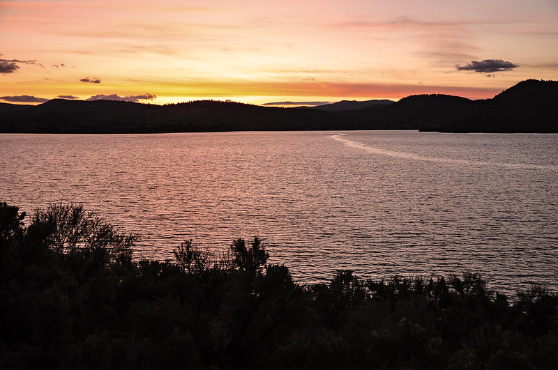
We got back to Unity Lake at the tail end of sunset:
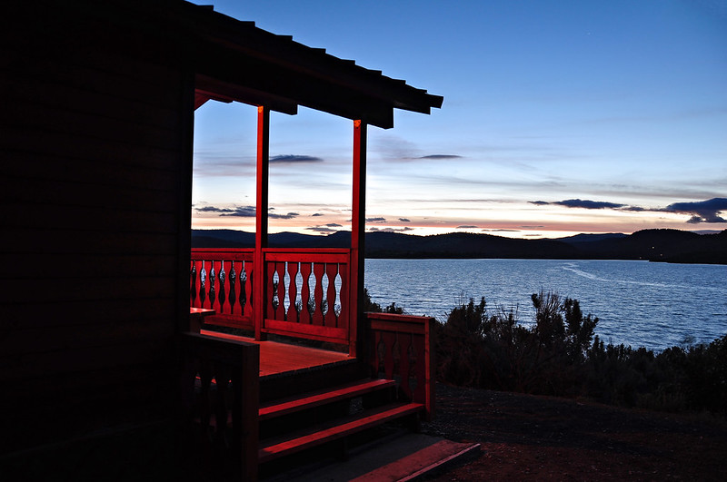
I LOVE camping and sleeping in a tent, but on this trip we were happy for four walls and a roof. We had all manner of weather (except heat) including A LOT of wind, so we were glad we weren’t in a tent. These cabins go for $56 a night, for which you get two tables, four chairs, a bunk bed, a futon, and a porch overlooking the lake (which we weren’t able to enjoy due to the high winds). There’s also a picnic table and fire ring outside. Ours was the Bass Cabin:
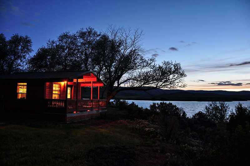
Our neighbors had the Trout Cabin (that one allows pets):
Video:


