On Sunday I did a short hike that’s been on my to-do list for awhile. I’ve never seen a trip report for Barlow Butte and I wanted to see what it was like, so I headed up there. Turns out the views up there ain’t too shabby!
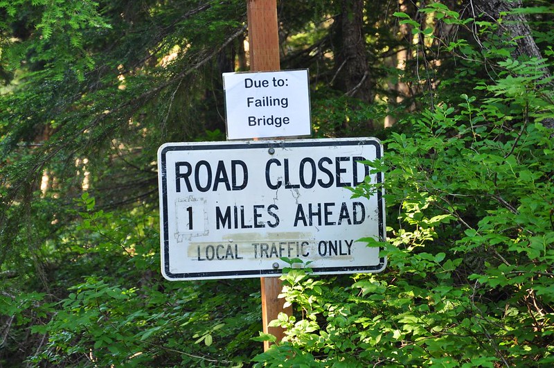
I started from the Barlow Pass Sno Park. The Barlow Road is closed off because the bridge one mile down the road is failing.
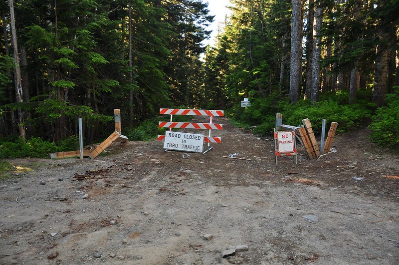
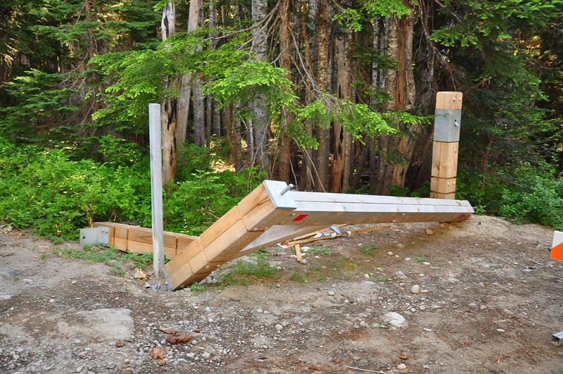
Also failing are the spiffy new Barlow Road gates. I’m guessing winter snow and/or vehicles are to blame.
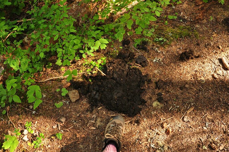
I headed down the road a short ways and then picked up the trail heading east. I soon came across this. Is this bear scat? It was huge. 😯
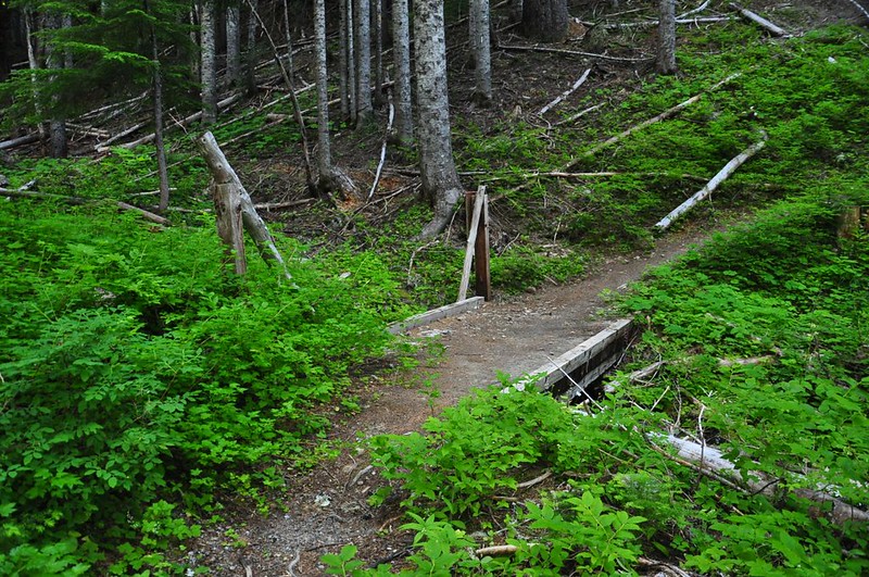
A sturdy bridge crossed Barlow Creek, which was barely more than a trickle. Just an hour before I had been camped beside this very creek about seven miles downstream and it looks a lot different down there!
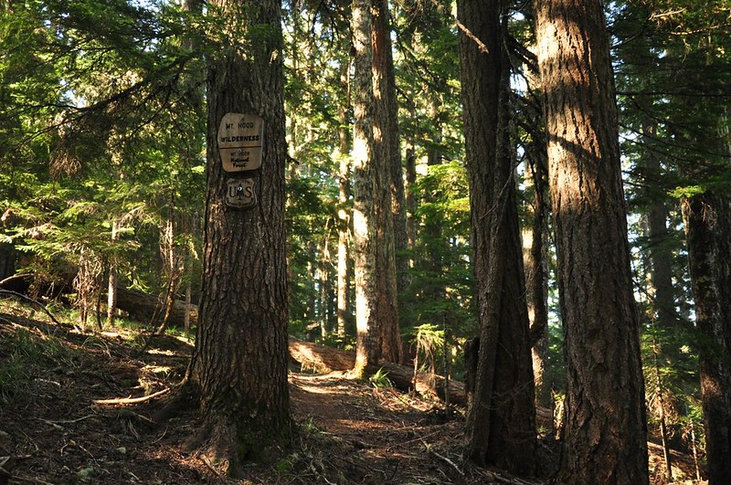
The trail starts climbing and eventually enters the wilderness.
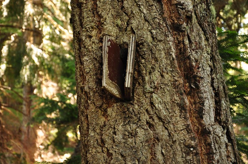
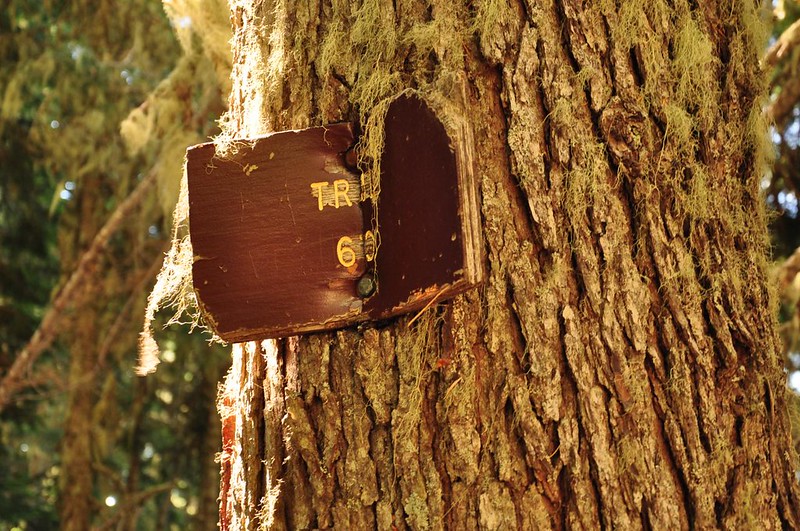
I’ve never seen this on a trail before but there were several old trail signs along the way, even when there wasn’t a junction. Some of the signs have been there so long they are being swallowed by the trees that they’re nailed to.
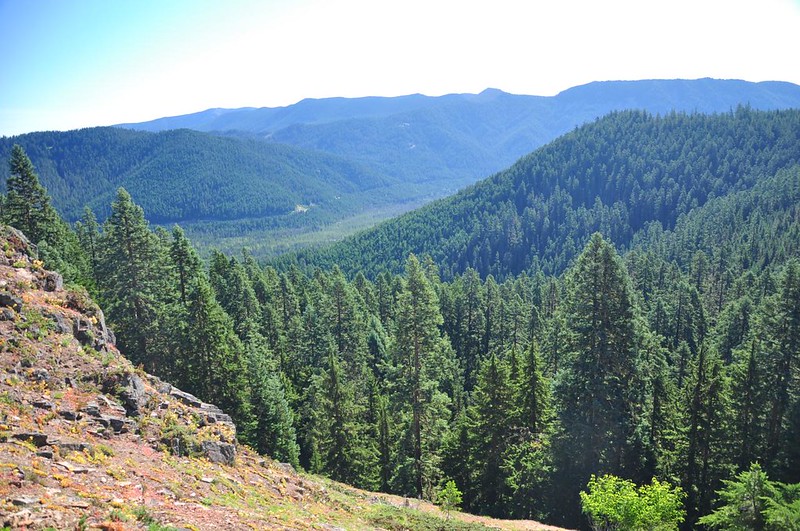
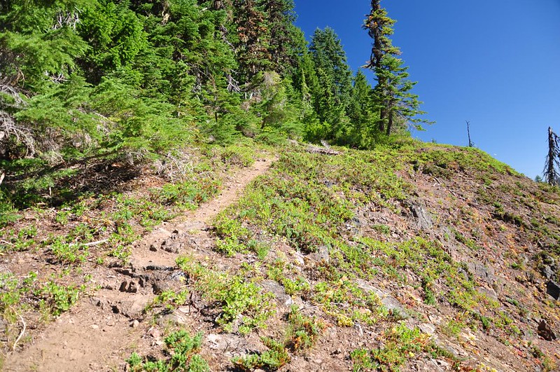
At some point the trail suddenly stops the gradual climbing and starts getting very steep. I huffed and puffed my way up, up, up until I came to a junction where the summit trail goes straight and the main trail goes off to the right. First I headed straight and immediately came to this ridge with a view to the east looking out over the White River.
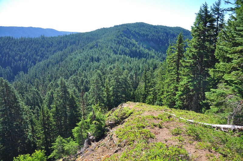
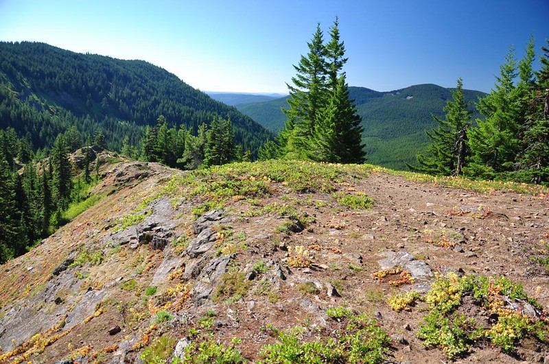
Looking south along Barlow Ridge.
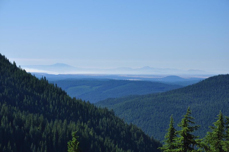
Distant views to the southeast.
Then I turned and hiked the short jaunt up to the summit.
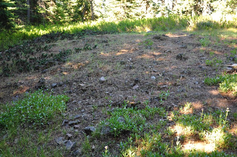
The summit has two flat areas, neither of which have any views.
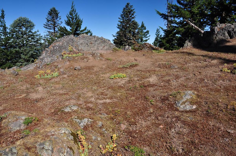
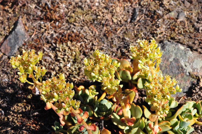
There was a lot of sedum blooming there, though.
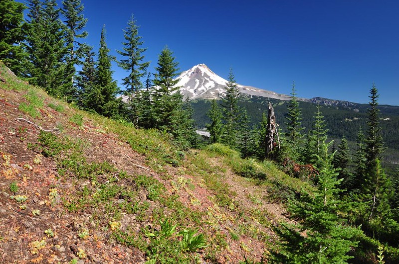
I headed back to the junction and picked up the trail heading south along the ridge. After a short trek through the trees the trail came out into a big rocky open area.
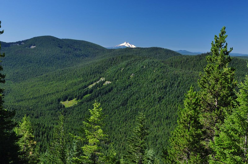
Looking south to Mt. Jefferson.
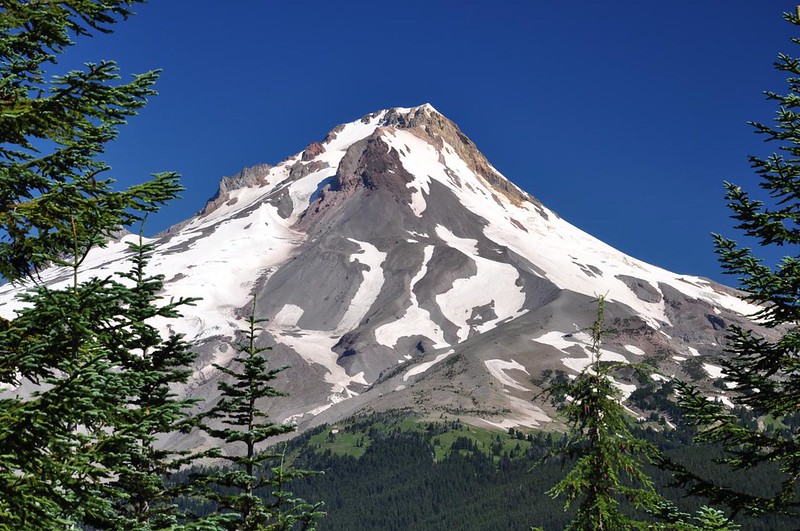
The views of Mt. Hood from here are not good.

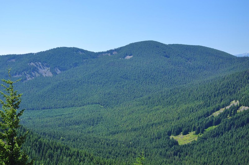
I’m pretty sure this is Frog Lake Buttes.
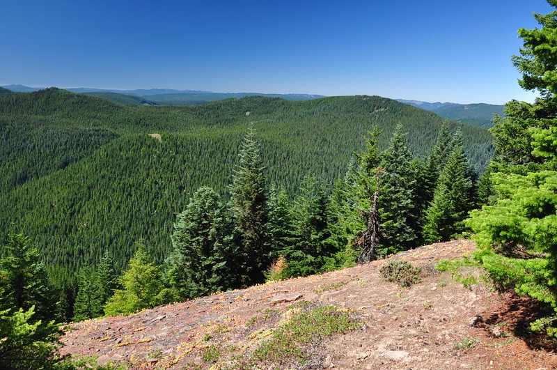
Looking southwest.
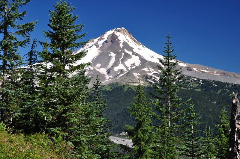
Following directions in the Afoot & Afield book, I continued following the trail south in search of the better views to be had. After hiking through the trees for about 10 minutes I came to a small open area with a huge rock outcropping on the right and nice views of Mt. Hood on the left. Not totally unobstructed, but good enough.
I could just see the White River Bridge through a gap in the trees. Looks tiny!
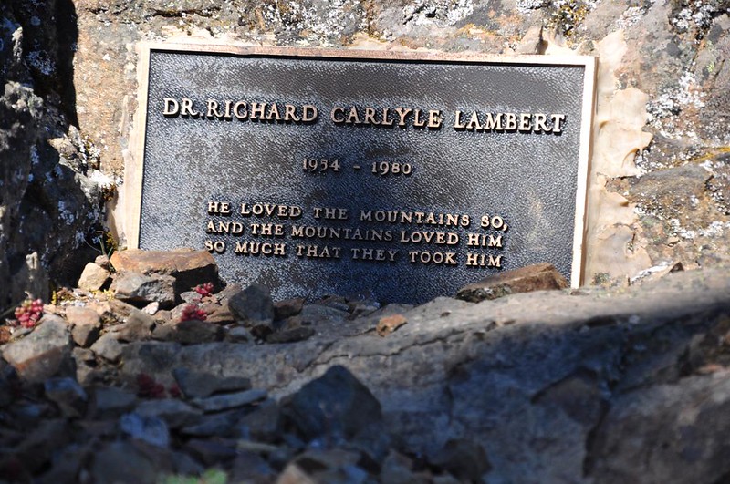
I didn’t feel safe climbing up to the very top of the rock outcropping (which I now realize I didn’t get a picture of). I climbed up as far as the base, though, where I discovered this sad plaque. I went hunting through the Oregonian archives and found out that this guy died in a fall in Provo Canyon in Utah.
View from the plaque.
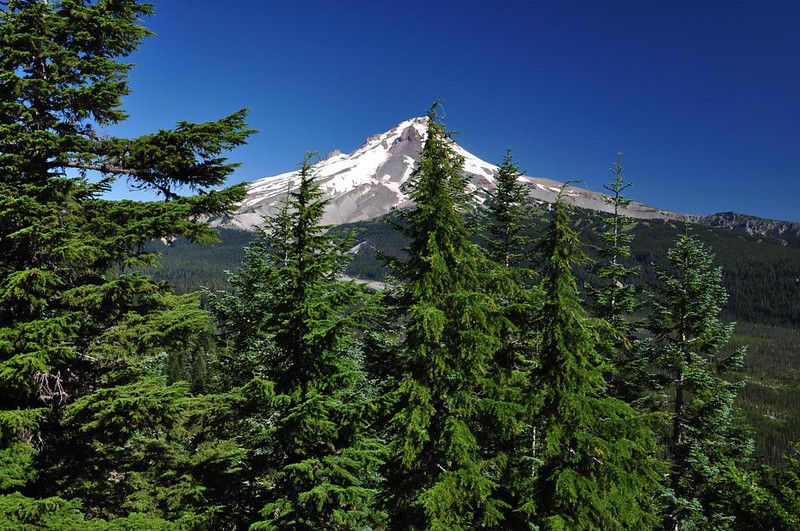
I sat by the trail and admired the view of Mt. Hood for awhile before heading back. The hiking book said there wasn’t anything to see on the trail further along Barlow Ridge and that it was poorly-maintained so I made the viewpoint my turn-around point.
The trail is a bit steep in places and this is only about four miles round-trip, but still a pretty satisfying hike. I don’t think it sees much use. One downside is that because of its proximity to Highway 35 there is traffic noise almost the whole time. It wasn’t so bad at the viewpoint, but the rest of the time it was like hiking in the Gorge, although at least there was no train noise.


