Last weekend Greg and I headed up into the hills of the Gifford Pinchot National Forest to do the hike to Grassy Knoll and Big Huckleberry Mountain. We had heard how bad the roads were. We encountered plenty of potholes, but frankly it wasn’t as bad as I expecting. I think the road to the north side of Silver Star is worse. There is a stretch, though, where there is only room for one vehicle to pass, so if you encountered someone coming from the other direction one of you would have to back up. (I’ve only ever had to do this on a forest road once and it was a little scary. Going in reverse along a narrow brushy road with another car staring you down really puts the pressure on. I was afraid I’d back over the edge of the cliff!)
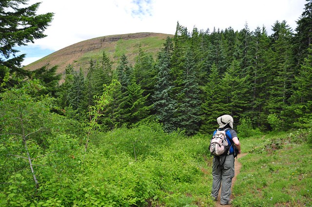
The trail starts out in a meadow for about two minutes.

And then it’s in trees for awhile.

But after that you start getting east-facing views. Here is Hood River, with Hood River Mountain on the east side of the valley looking a little brown.
We came to a nice rock outcropping with sweet views.
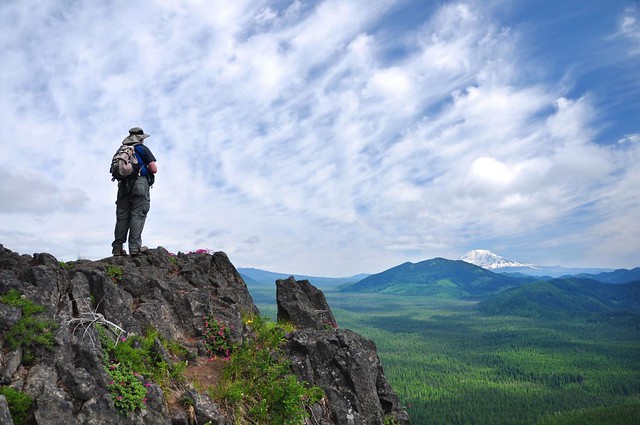
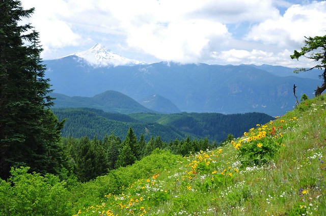
Mt. Adams!

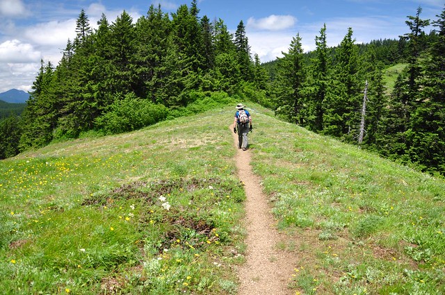
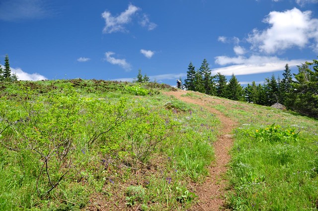
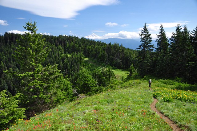
We could see our route ahead. I’m not sure if Big Huckleberry is one of those bumps ore not. Does this trail look like a bit of a roller coaster? It definitely is.

Soon Grassy Knoll came into view. We’d already been doing some up and down in the last two miles. Time for more up.

Mt. Hood came into view.
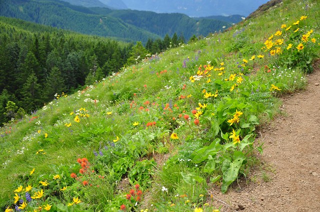
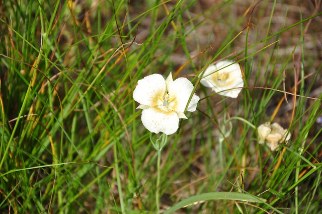
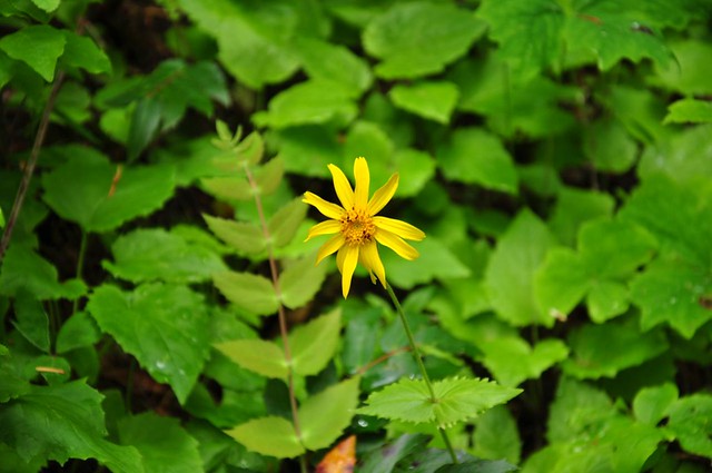
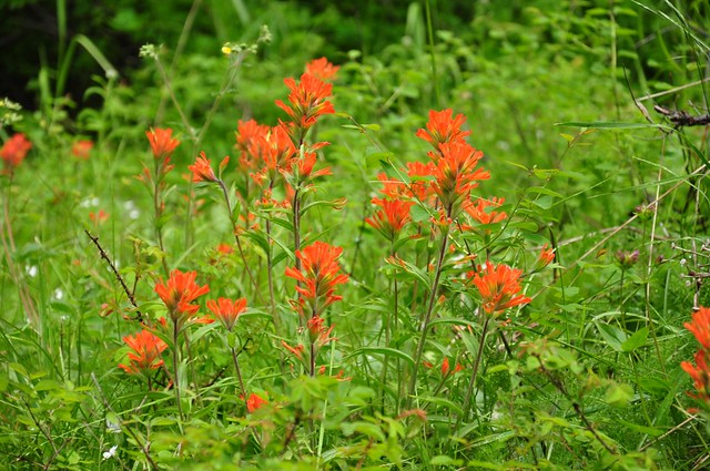
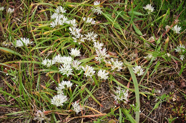
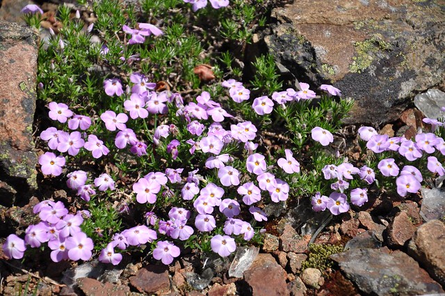
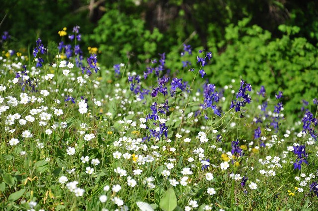
And there were wildflowers galore!
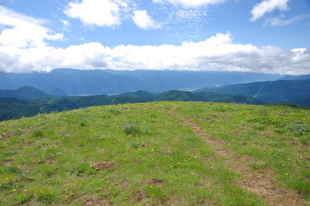
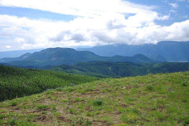
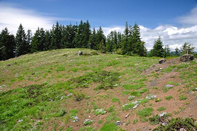
And then we were at the top. Here’s the view looking southwest.
We had views of Dog and Wind Mountains.
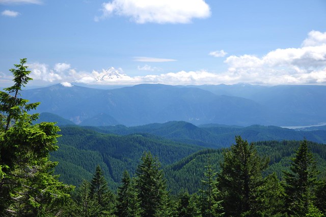
Not a stellar Mt. Adams view from here because Little Huckleberry Mountain is in the way.
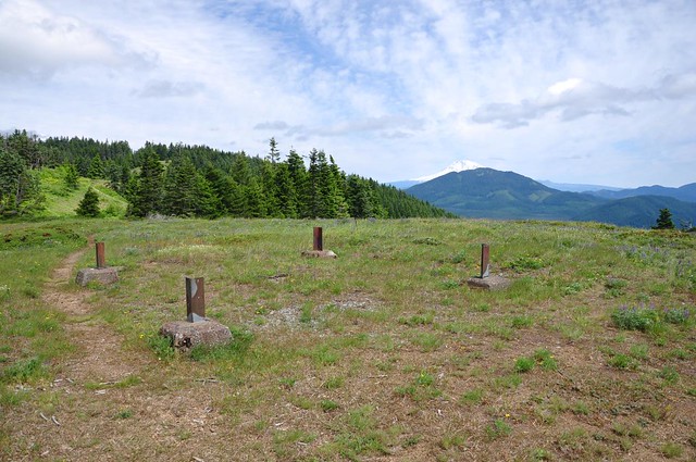
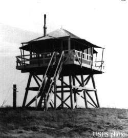
In that previous photo, you can also see all that’s left of the old lookout tower. Here’s how it looked in 1949.
Sadly, we couldn’t linger to enjoy the views because it was VERY VERY windy, so we hastily headed into the trees to look for a more protected lunch spot, which we found a short ways down the trail. After that we continued on to a small grassy meadow that is called “Grassy Pass” in Bill Sullivan’s old book (this is now a back-of-the-book hike in newer editions). This area and the hill just beyond were really lovely.
And there’s Mt. Adams again.

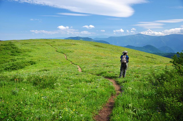
Greg got a shot of me climbing the wildflower hill beyond Grassy Pass.

And then it’s a LONG roller coaster through the forest over to the PCT and the spur trail to Big Huckleberry. We passed through LOTS of huckleberry bushes on the way, so this is an appropriately-named mountain!

We passed Cold Springs Camp, where there is indeed a spring, although the flow is not “robust”, as Greg put it.

And then after more forest hiking and one last steep push, we were finally climbing up to the summit.
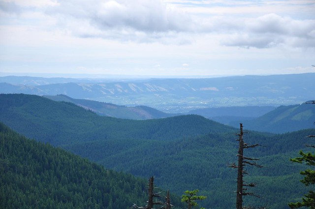
Sadly, the views here are nowhere near as nice as those we had over in the Grassy Knoll area since there are a lot of trees blocking the views. Here’s the cloudy southwest view.

We could see Mt. Adams through the trees, with some neato clouds overhead.

I scrambled around for awhile until I found a relatively unobstructed view of Mt. Hood.
As at Grassy Knoll, there was once a fire lookout here. The footings are gone and there are just some rusted pieces of twisted metal left now.
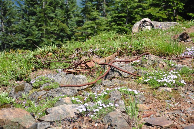
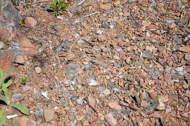
Looks like this is one of the lookouts that they burned, since there are melted pieces of glass all over.
All too soon we had to head back since we had 5.5 miles miles of up-and-down hiking to get back to the car. We paused to enjoy and photograph the wildflowers in that Grassy Pass area. Next time I do this hike I’m making this my turn-around point, since Big Huckleberry isn’t worth visiting again.
One last shot of Grassy Knoll and Mt. Hood.
We saw SO many wildflowers on this hike!


11 miles
2850 elevation gain
7 hours
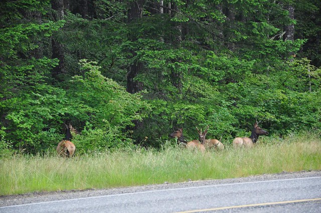
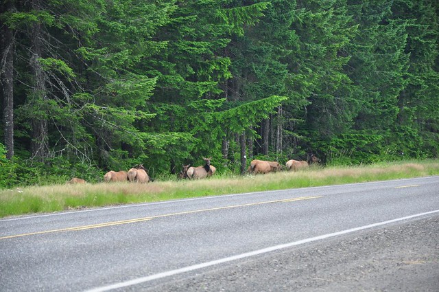
One last thing: we saw a large herd of elk hanging out alongside the Wind River Highway, right at the junction with Bear Creek Road. They were unfazed by all the passing traffic, but as soon as we pulled over to take some pictures, they started melting into the woods. We could hear them bugling through the trees. COOL.