After our camping trip with Dawn and Brad they headed home through Bend on Sunday, and Greg and I headed home via Oakridge so we could hike up Fuji Mountain. As the crow flies it wasn’t far from our hike the day before up The Twins, but as the car drives we almost did a big long loop. (There are two approaches to Fuji Mountain. You can start from Gold Lake for an 11+ mile round-trip hike, or you can tackle most of the mileage by car on Road 5883 for a short 3-mile round-trip hike to the summit, which is what we did.)
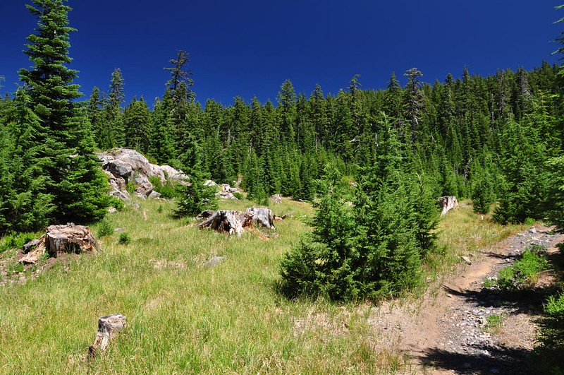
The trail started out in a tiny meadow before entering the trees:
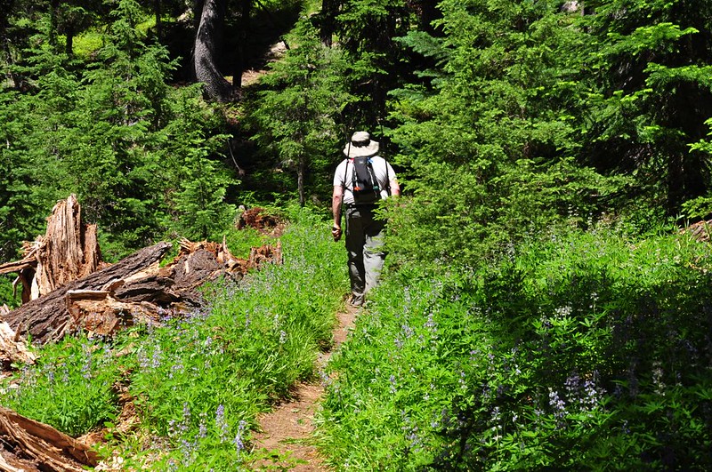
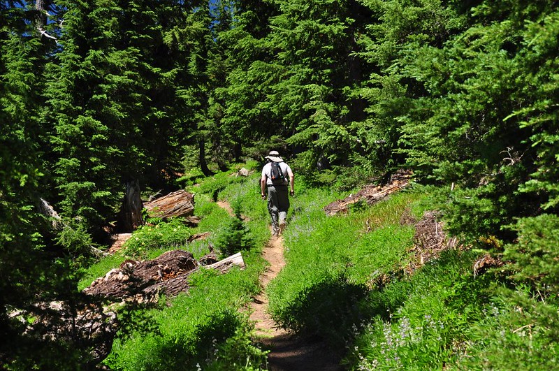
We passed through several patches of lupine that were past their peak:
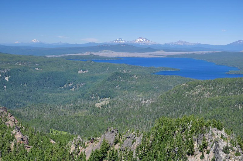
The rest of the hike is through the forest, but in no time at all we were up on the summit of the mountain. Here is the view looking north out over Waldo Lake and all the Cascade peaks beyond:
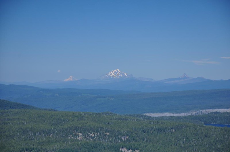
Mt. Hood, Mt. Jefferson, and Mt. Washington:
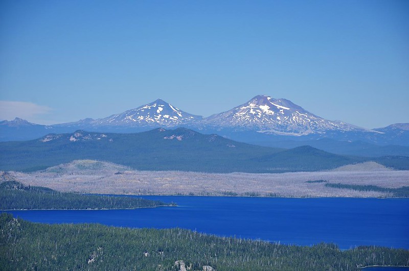
The Three Sisters:
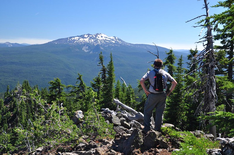
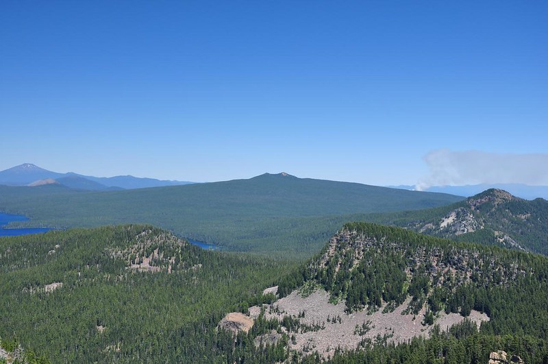
Looking south to Diamond Peak:
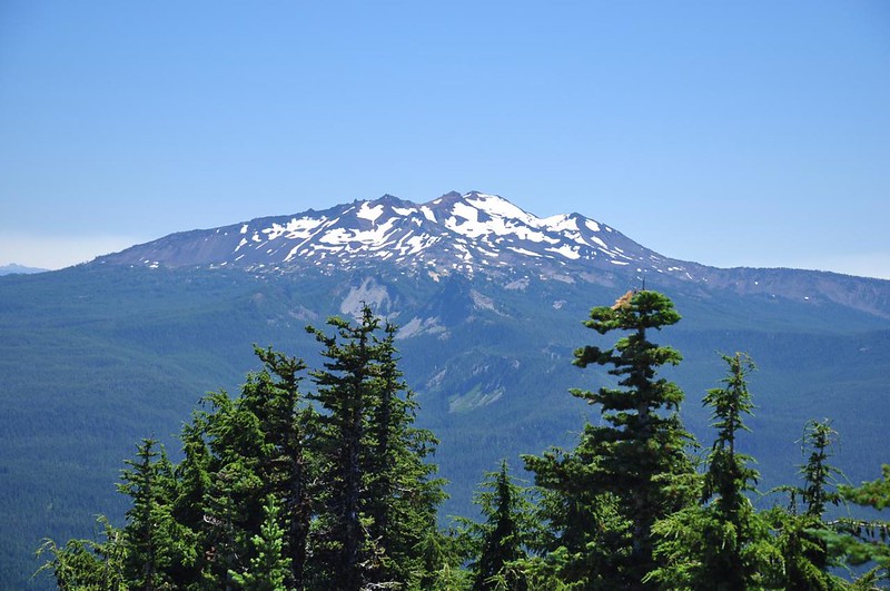
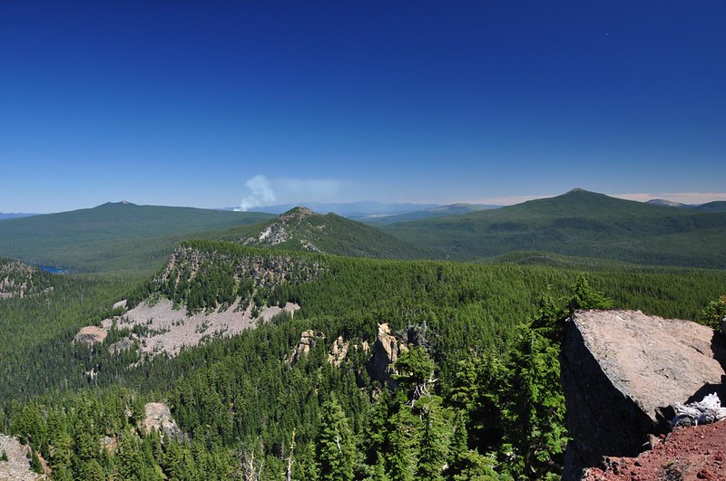
A slightly better view of Diamond Peak can be had back on the trail just before before reaching the summit:
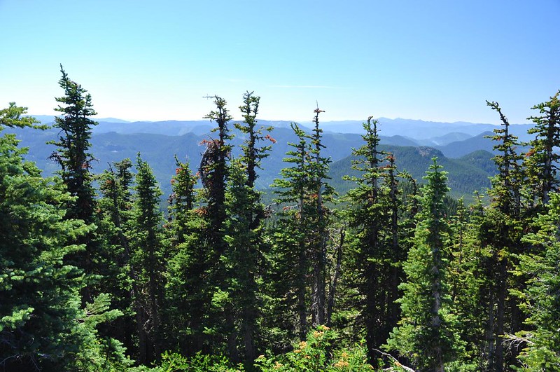
The view to the southwest is partially obscured by trees:
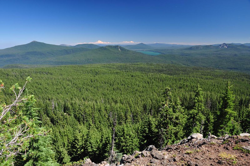
Looking east at Maiden Peak (on the left) and Gold Lake:
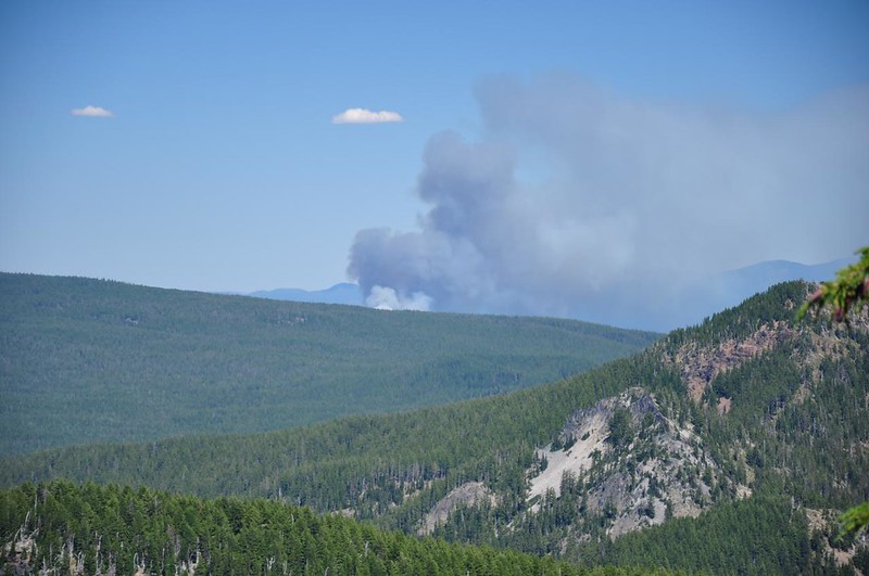
We could see The Twins, where we hiked the day before, and beyond it we could see a wildfire. It wasn’t close enough to affect us but we knew how very dry the forest was and that any new fire was bad news. We later found out it was the Brown’s Creek Fire near Wickiup Reservoir. There had been no thunderstorms the night before, so we knew it had to be human-caused:
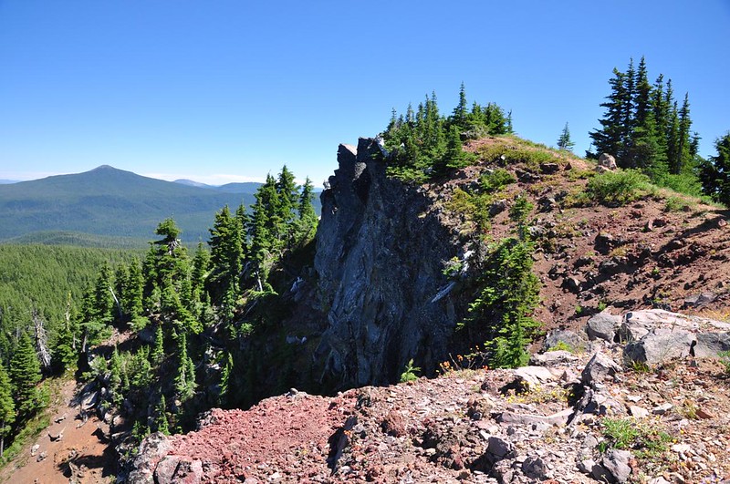
Fuji Mountain has two viewpoints. There’s the second one as seen from the summit:

Looking back at the summit from the other viewpoint:
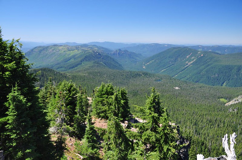
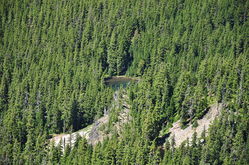
Looking west at Bunchgrass Ridge (on the left) and part of Koch Mountain (on the right). There is a 25-mile-long mountain bike trail that goes along Bunchgrass Ridge. We were intrigued by the look of the meadows up there and want to come back and explore. A little right of center here you can see a tiny lake. It’s not identified on the topo map, but on my Oakridge trail map it’s called Deer Camp Lake. No trails go there:
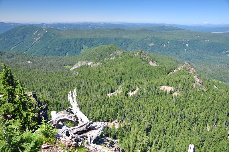
Looking north out over the Waldo Lake Wilderness. Somewhere out there out of view are two lakes named Bingo Lake and Bongo Lake:
Zoomed-in on the tiny unnamed lake in the previous photo:
We could have sat here admiring that view all day long:

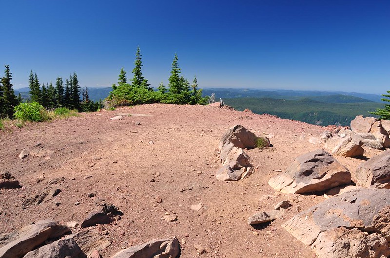
There was once a lookout here. The first one was built in 1925 and the second one was built in 1959:

Now the summit is just a nice flat place to hang out on a beautiful summer day.
With a very long drive home to Portland ahead of us we finally tore ourselves away and started heading back down. I highly recommend this hike. The route we took wasn’t hard, so if you want a challenge you can take the longer route. It’s definitely worth it either way. We encountered plenty of mosquitoes on this hike. Bug spray and headnets were essential, although I didn’t have my headnet on for part of the time and now I have about a dozen bites on my forehead and neck.


