Saturday, September 21, 2019
Greg was otherwise occupied today so I chose a workout hike. I paid to park at Wildwood Recreation Site so I could hike the Boulder Ridge Trail up to Huckleberry Mountain.
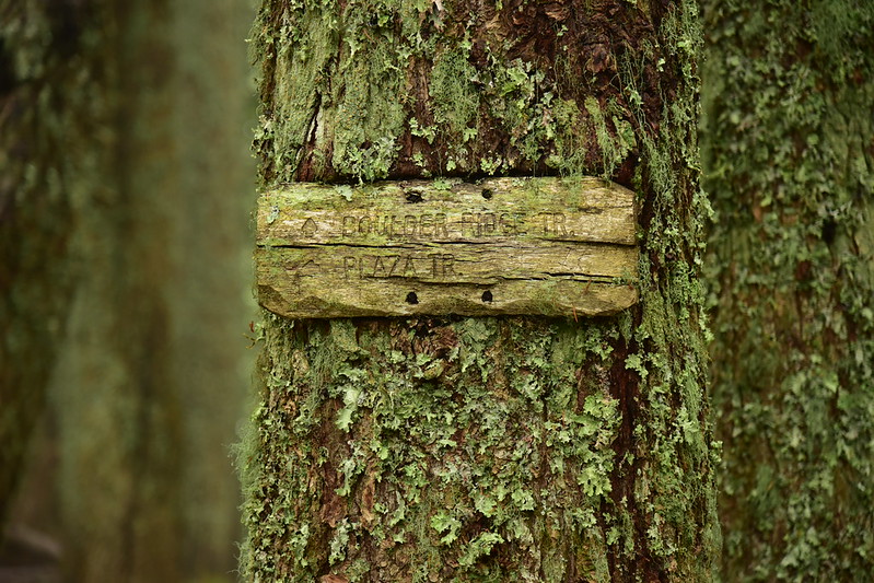
The trail starts at this signboard near the restrooms:

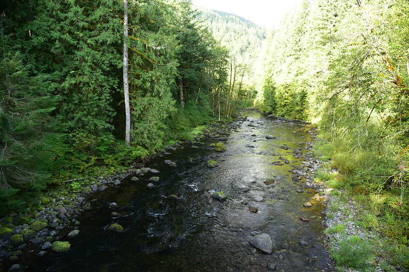
Then crosses the Sandy River on this huge footbridge:

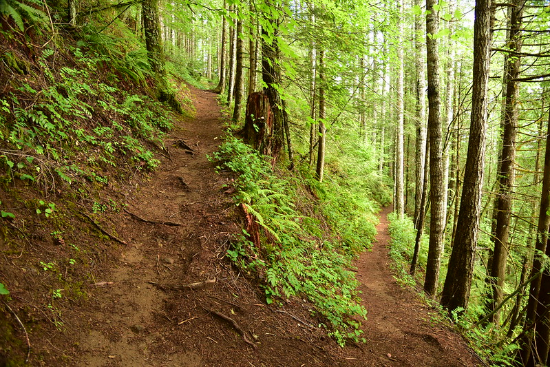
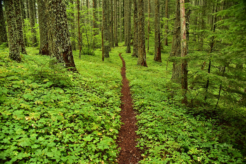
After a flat stretch through the forest the trail starts switchbacking steeply uphill:
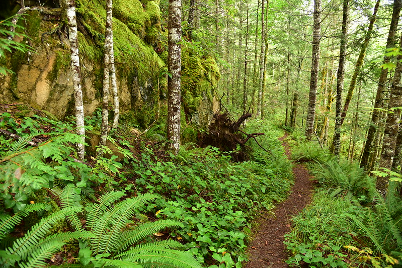
At 1.9 miles the trail starts following the path of a very old road bed:
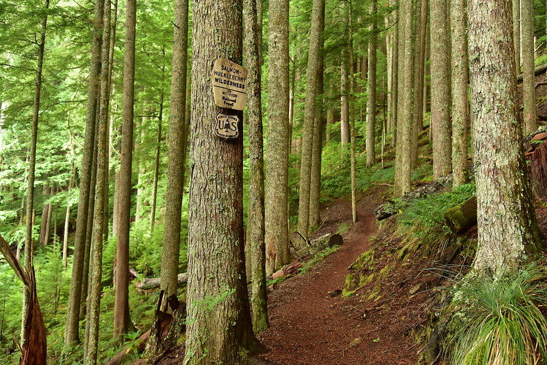
At 2.5 miles I crossed the wilderness boundary:
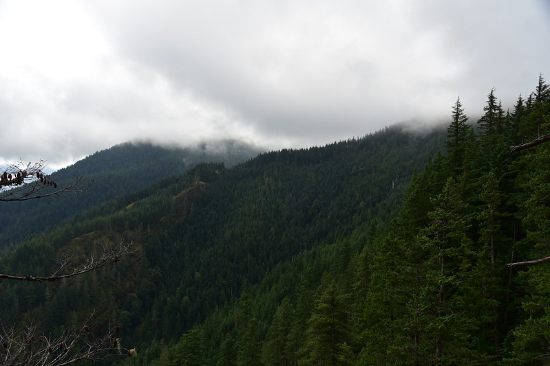
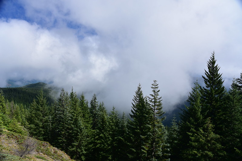
There is a viewpoint at three miles, but it was too cloudy for views:
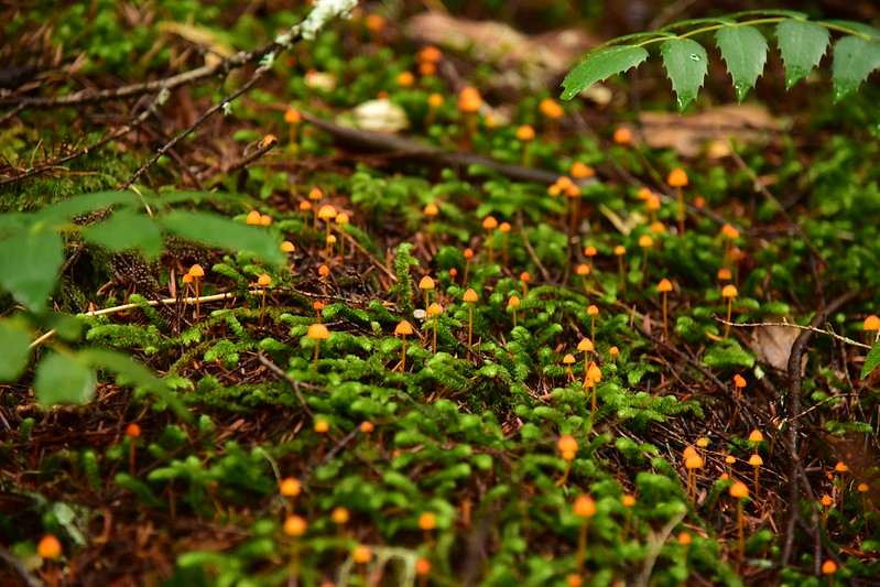
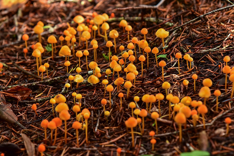
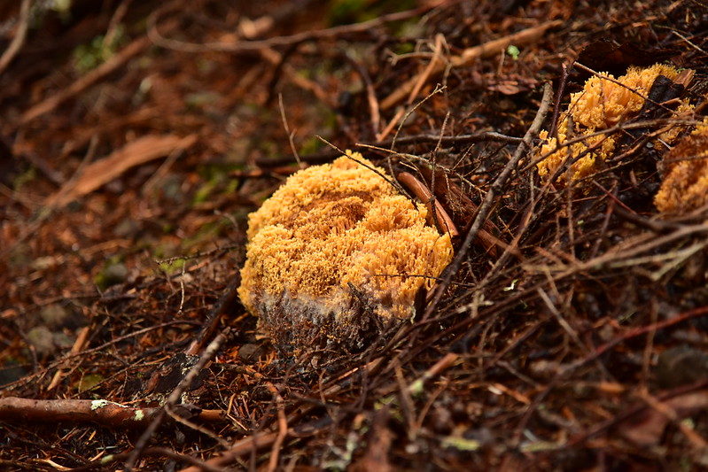
I was seeing lots of different kinds of mushrooms and in great abundance:

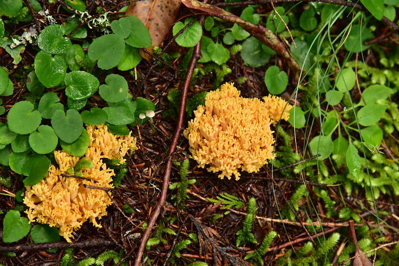

I’m pretty sure these were chanterelles, but I didn’t pick any:

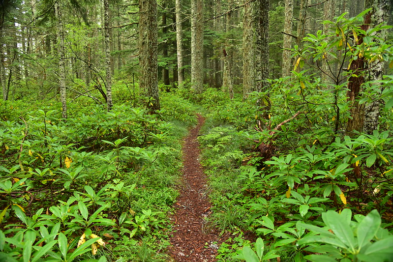
The trail kept climbing up through the forest:

After 5.1 miles I reached the junction with the Plaza Trail where I turned right:
The Plaza Trail used to continue to the left and descended down to a trailhead near Welches and the golf course, and the Arrah Wanna Trail used to descend to a trailhead on E. Crystal Creek Road. Because both of those trails crossed private land at the bottom they have both been abandoned by the Forest Service, but you can see where they used to be on the 1962 USGS map below. The Boulder Ridge Trail hadn’t been built yet, so it’s not on this map. The spot where I hooked up with the Plaza Trail is right near the tip of the “n” of “Mtn”:

The Plaza Trail heads southwest along the ridge:
While Huckleberry Mountain never had a fire lookout, nearby Wildcat Mountain and Salmon Mountain did. I saw bits of the old phone line that used to run along here, as well as on old insulator:

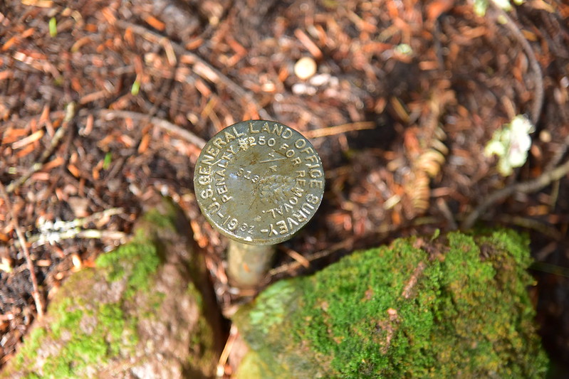
I came across a survey marker alongside the trail:
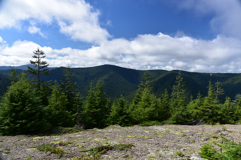
After 6.2 miles of hiking I finally reached the viewpoint on Huckleberry Mountain. The true summit is another half mile down the trail, but it apparently has no view. This is a view to the southwest with Wildcat Mountain at center:
View to the south. The left of those two mountains is Tumala Mountain:
This is the rocky viewpoint area:


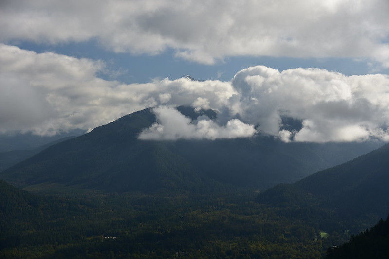
When I first arrived the possibility of a Mt. Hood view was not looking promising:
But the clouds slowly started breaking up:
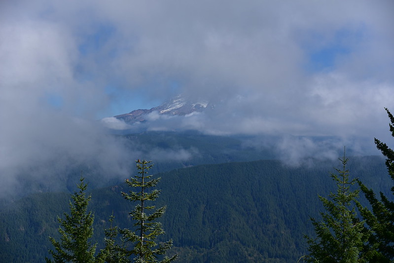
The clouds never parted completely but I did get a pretty good view of Mt. Hood:

A wider view. That’s Hunchback Ridge in the foreground:

View to the north:

That is Devil’s Peak at center:
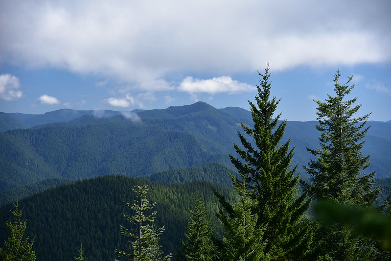
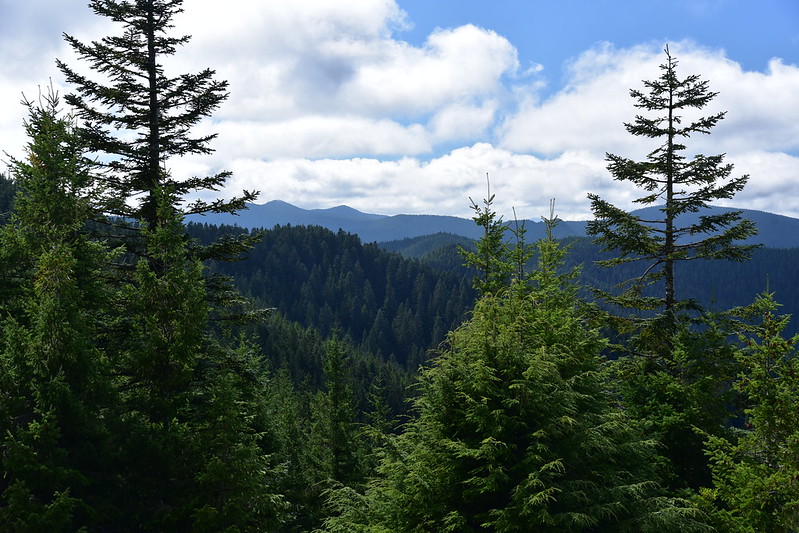
I spent an hour up there and would have stayed longer but I had a long hike back down. On the way down the lower viewpoint was now mostly cloud-free. That’s Zigzag Mountain in the foreground:


Long day! 12 miles and 3,300′ elevation gain.


