Type: Ground cabin
Status: Staffed in emergencies
Elevation: 8,679′
Visited: August 10, 2023
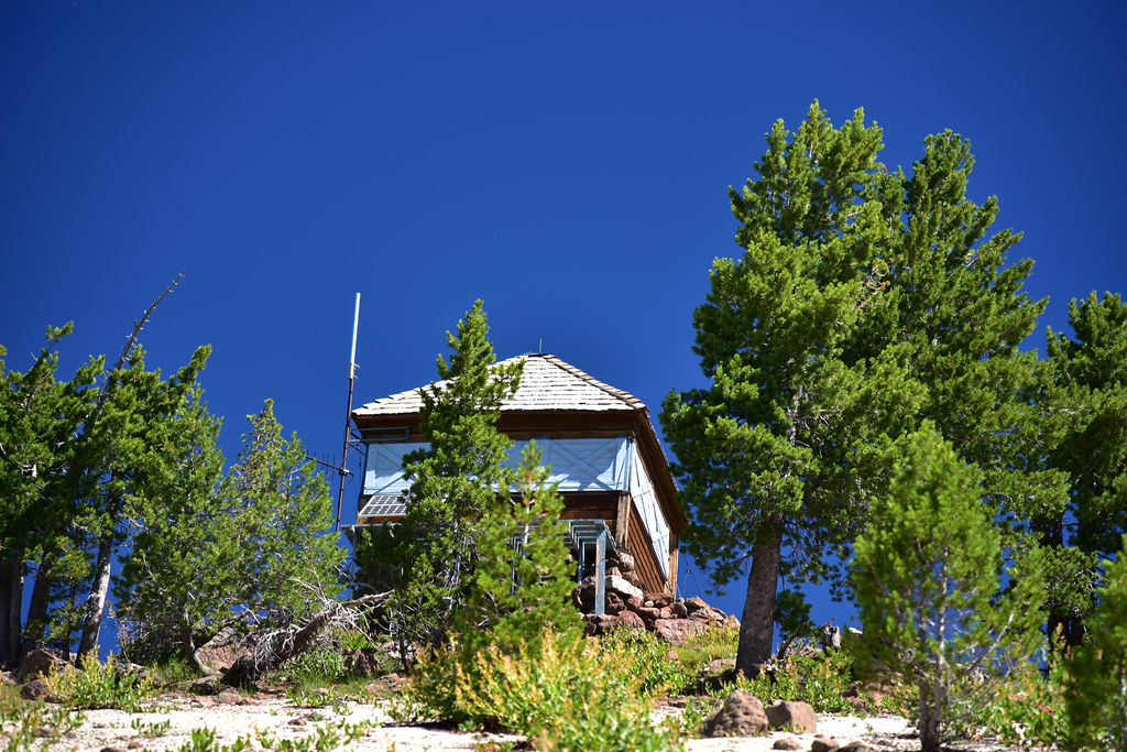
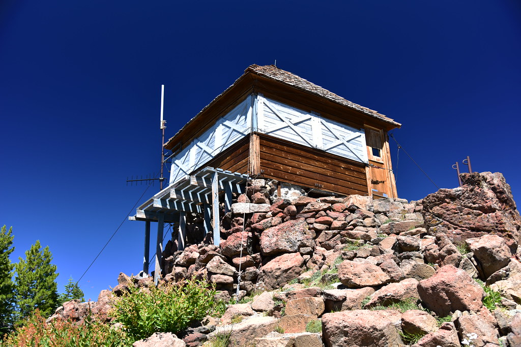
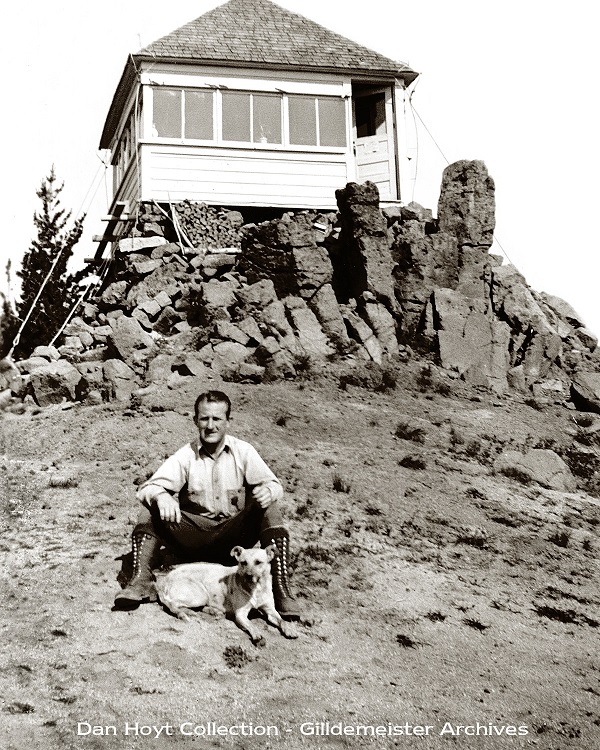
The lookout on Mule Peak is the only remaining lookout in the Eagle Cap Wilderness. It’s quite a hike: 5.3 miles one way and 3,600′ elevation gain. It took me 3 hours and 45 minutes of pretty steady hiking. This page is about the lookout, but you can read more about the hike itself on my adventure blog.
Almost there:
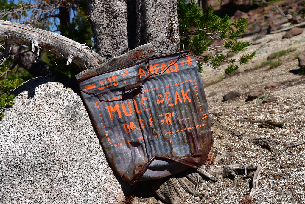
The paint is faded, but someone has painted on this smashed trash can “Just Ahead Mule Peak Bar & Grill”:
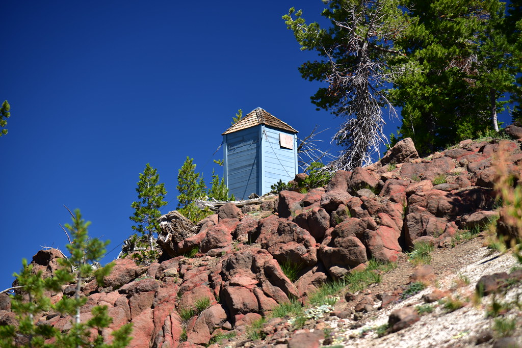
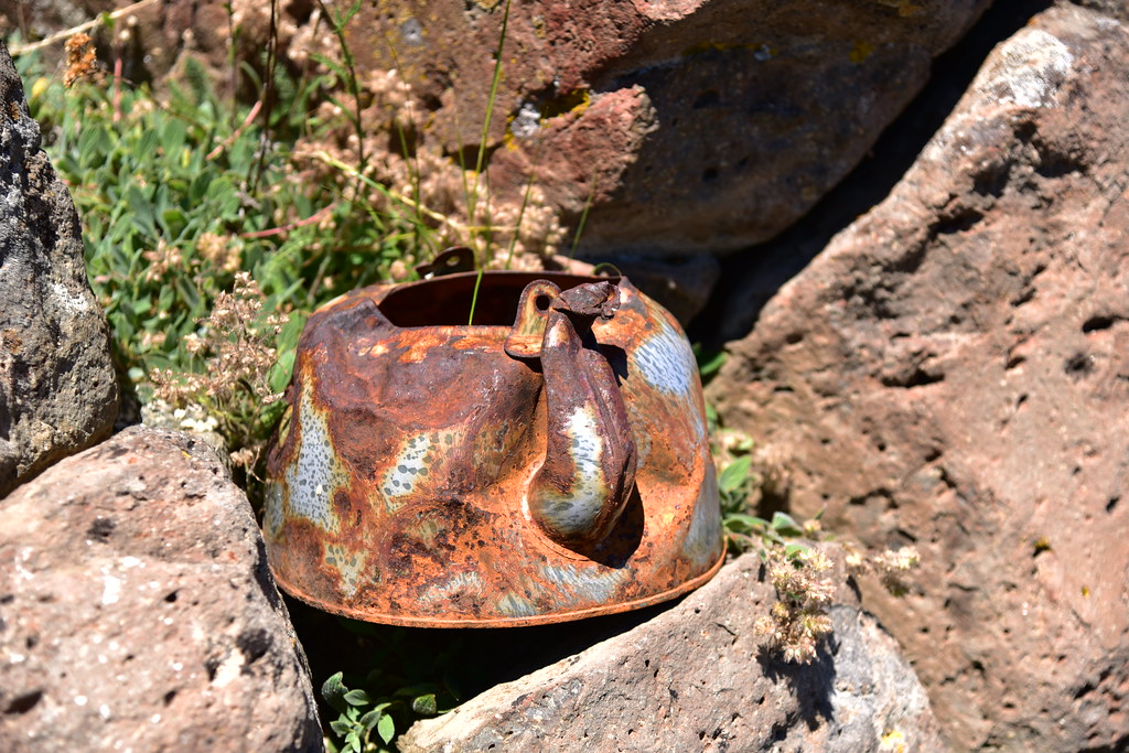
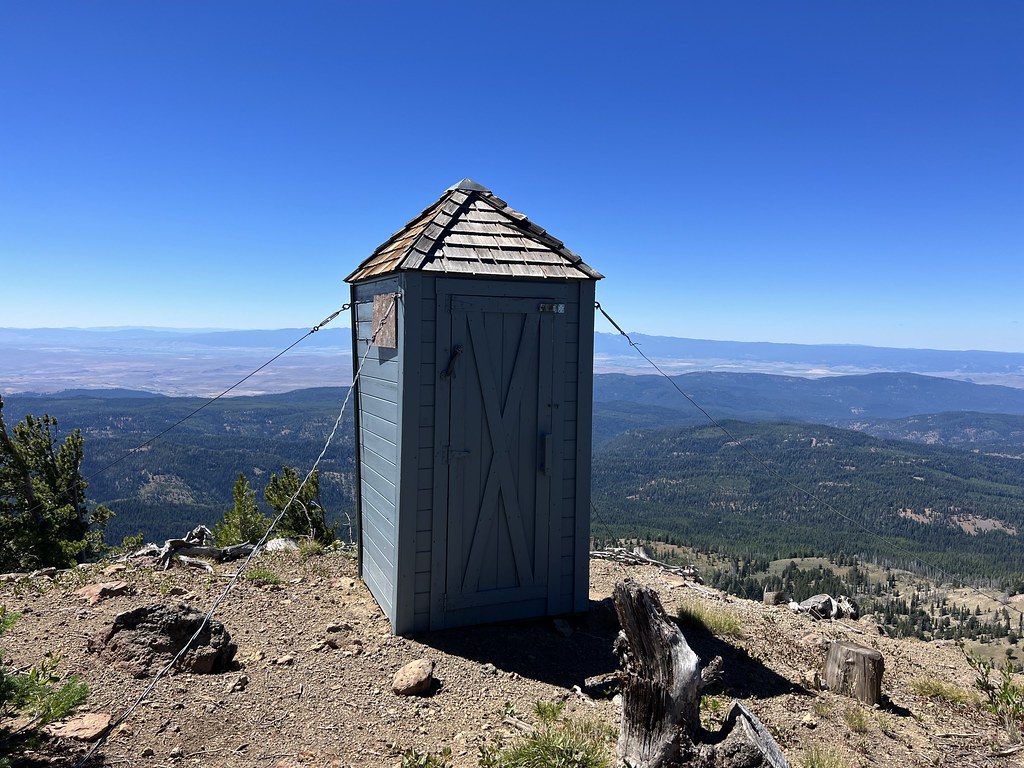
The toilet:
Made it!
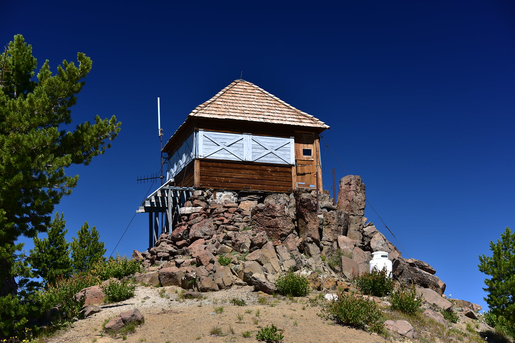

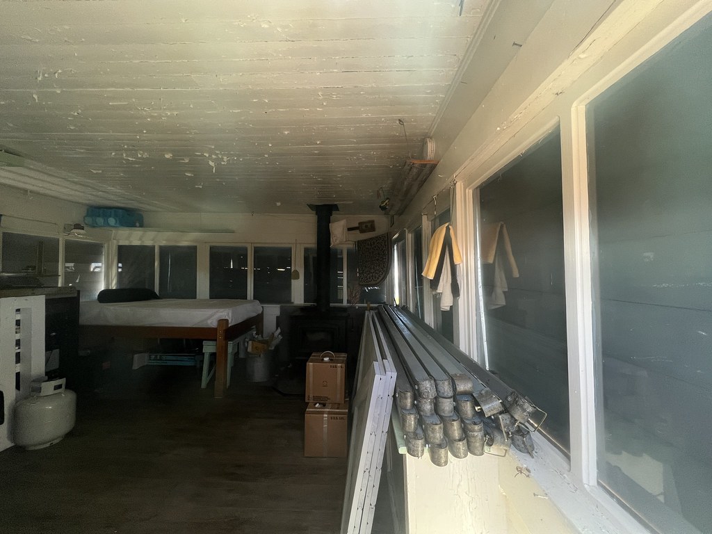
The Mule Peak Lookout is not staffed all the time in the summer and it was boarded up, but I could see a bit inside through the door window:
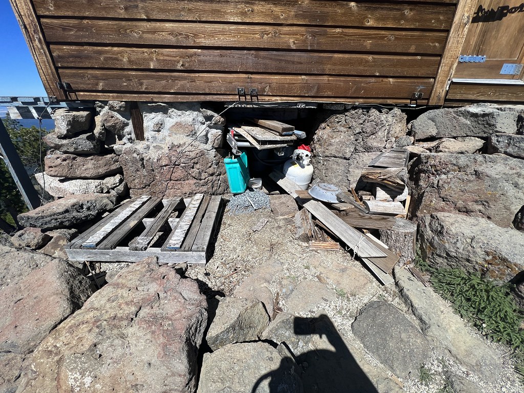
That’s a lot of firewood:

There was also a pile of roof shingles. Looks like a new roof was done in the past year or two:

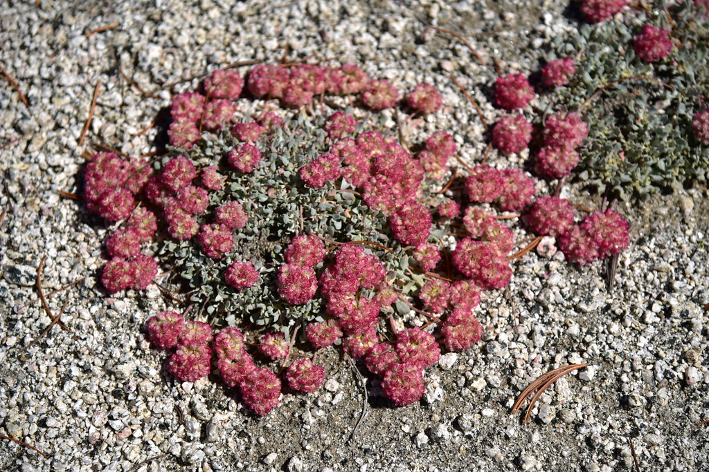
Pussy paws:
Hawkweed:

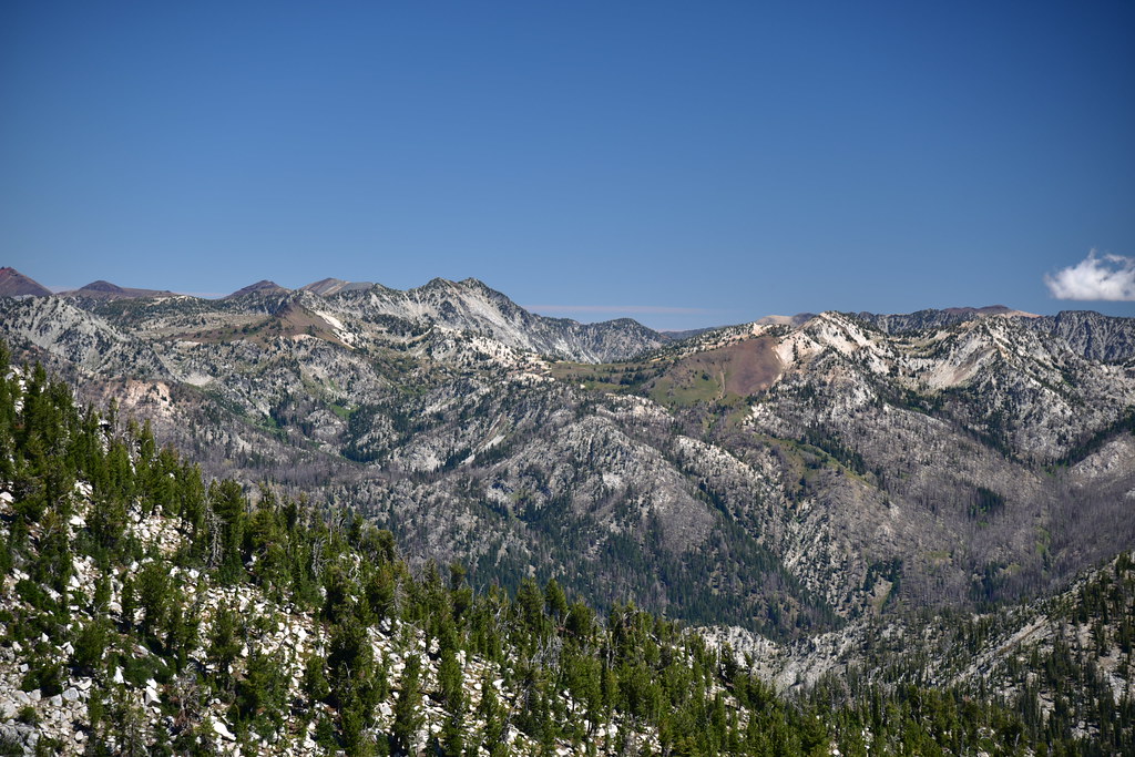
The views were spectacular on this gorgeous day. Looking north at Granite Butte:

Still looking north, with Granite Peak just off to the left:
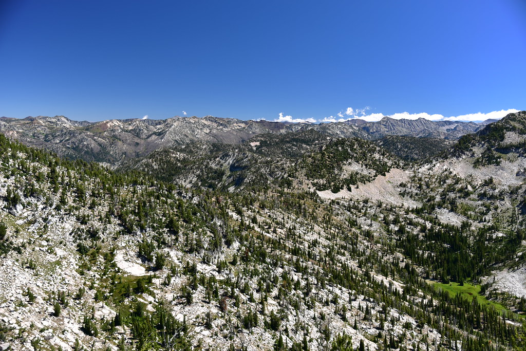
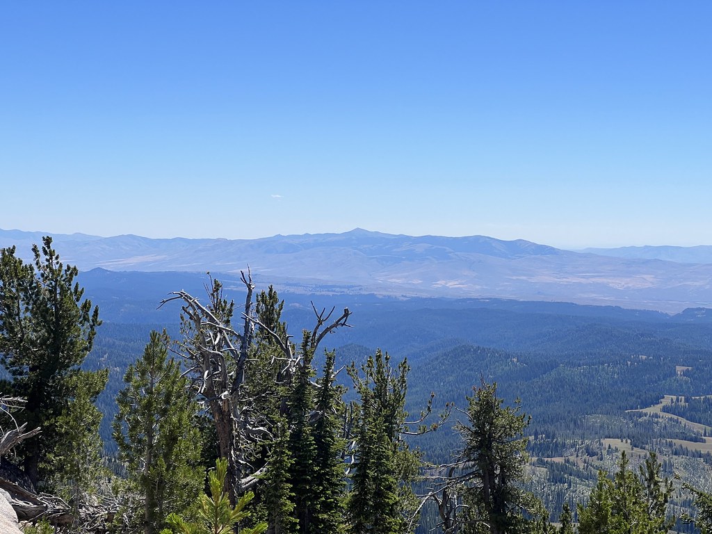
Looking northeast into the Eagle Cap Wilderness:
Zoomed-in on the view above you can see Eagle Cap at center:

Looking east at unnamed peak 7786:
Looking east:

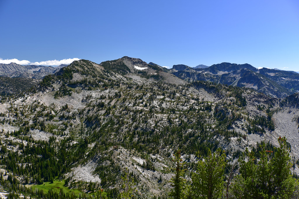
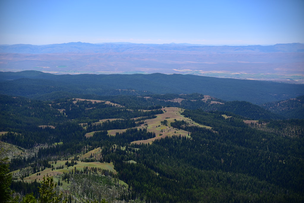
Looking south. That pointy peak at center is Lookout Mountain:
A little bit to the right of that view above:
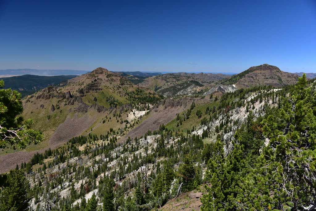
Looking southwest towards the Elkhorns:

Looking northwest at Burger Butte and China Cap:

A green little meadow down below where a spring is the start of South Fork Catherine Creek:

That’s the meadow where the trail was so faint:

The Mule Peak Trail continues past the lookout and meets back up with the Sand Pass Trail in about half a mile. I didn’t go that far, but I did follow it for a short distance. I passed the toilet:


The view from the trail just past the lookout:

Somewhere down there is the Sand Pass Trail:
More information
Forest Lookouts
Rex’s Forest Fire Lookout Page
National Historic Lookout Register
Peakbagger
Panorama Photos
Directions
Drive Highway 203 to Catherine Creek Sno-Park and turn east on Road 77 (signed for W. Eagle Meadows and Boulder Park). Drive for about 9.8 miles then turn left onto Road 600 and drive for about four miles. At a junction turn right onto Road 650, which only goes for a few hundred feet before it dead-ends at the Pole Creek Trailhead. There is a wire gate across 650 and if it’s closed when you arrive make sure you close it behind after you drive through.
The trail follows the continuation of the road, now decommissioned. After one mile fork uphill to the left at an unsigned junction. Watch for the spot approximately 0.1mi later when it switchbacks up to the left away from the road. 3.1 miles from the trailhead turn right onto the Mule Peak Trail, which is not signed and very faint. Follow this trail the rest of the way to the lookout. This route sees very little traffic and good route-finding skills are necessary. A GPS is highly recommended.
History
The Mule Peak Lookout was built sometime around 1923/1924, which makes it 100 years old!
 1936
1936