
Lookouts Threatened by 2024 Wildfires
Oregon is having a really bad fire season. July started off blazing hot with scorching temperatures throughout the 4th of
My quest to visit every standing fire lookout in Oregon
Oregon is having a really bad fire season. July started off blazing hot with scorching temperatures throughout the 4th of
On June 1 the Statesman Journal reported that the Bolan Mountain lookout would be rebuilt. OPB also reported on this

Type: Steel tower Status: Staffed Elevation: 8,346′ Visited: August 13, 2023 It’s a stiff 3.5 mile hike with 2,300′ of

Type: 82′ L-4 tower Status: Abandoned Elevation: 7,508′ Visited: August 11, 2023 A road goes to Russel Mountain, but I
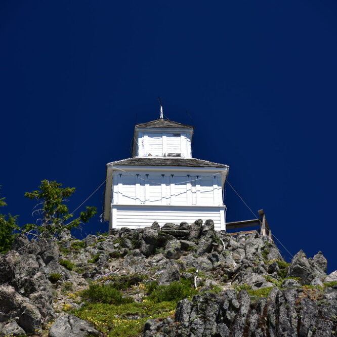
Type: Ground cabin Status: Staffed in emergencies Elevation: 8,679′ Visited: August 10, 2023 The lookout on Mule Peak is the
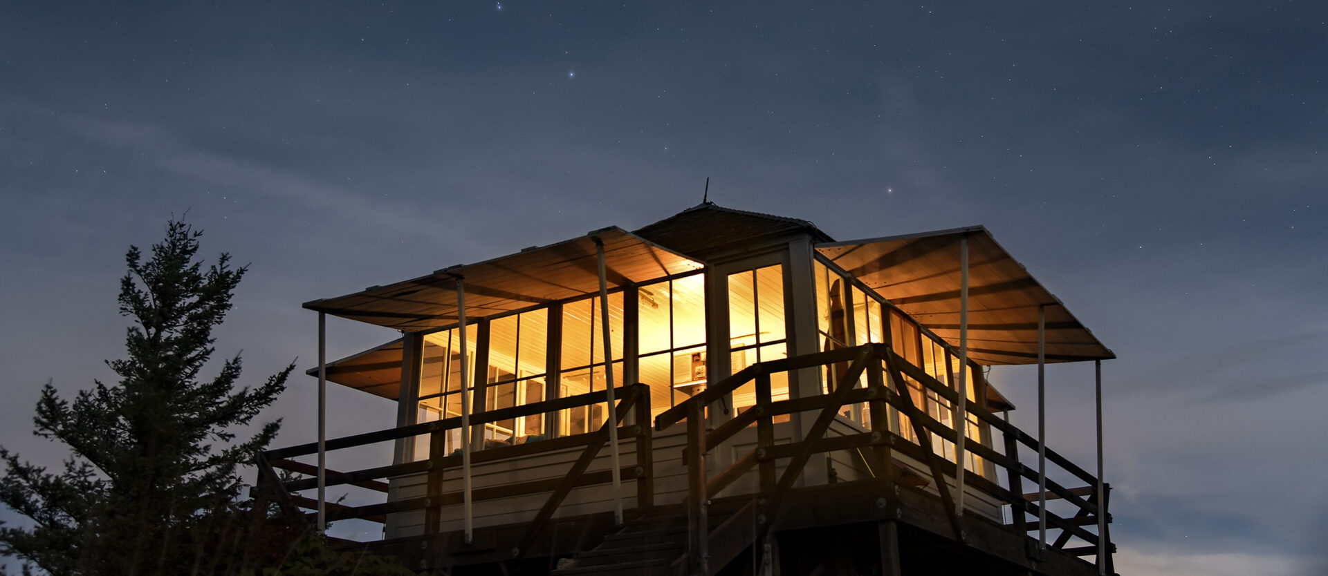
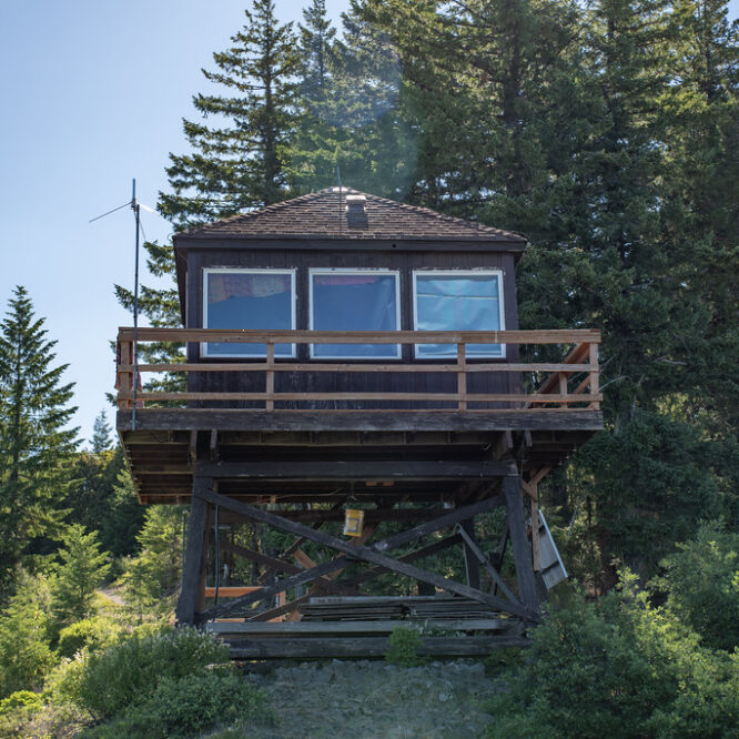
Type: Cupola and 20′ L-4 tower Status: Abandoned Elevation: 5,392′ Visited: July 15, 2023 The short spur road to the
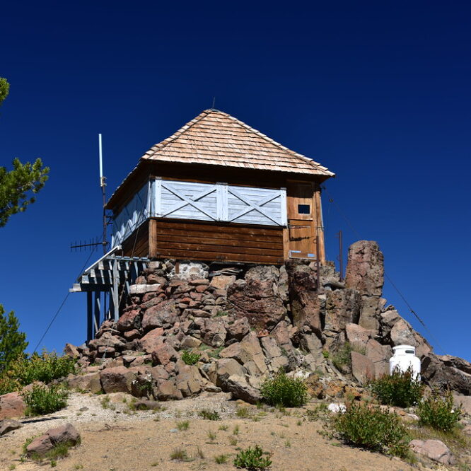
Type: 10′ tower Status: Staffed Elevation: 4,881′ Visited: July 15, 2023 There’s a road that goes to Pig Iron Lookout,
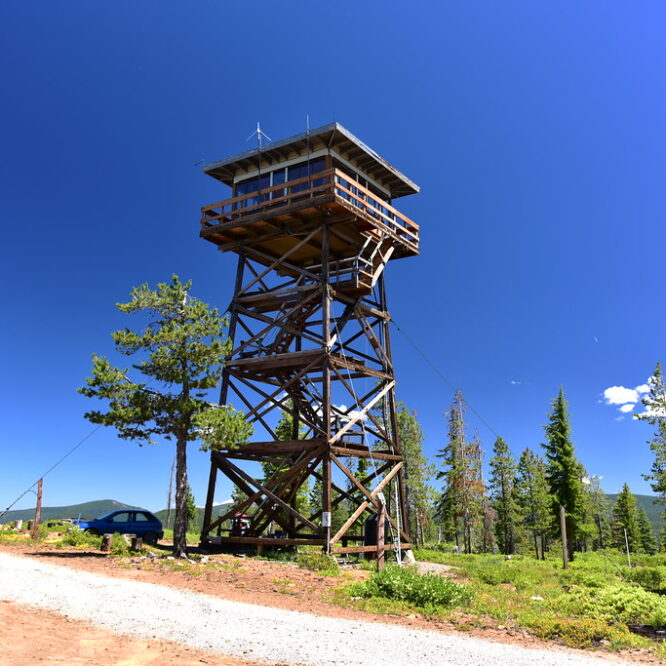
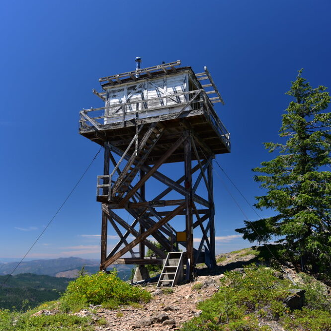
Type: 41′ R-6 tower Status: Staffed Elevation: 6,417′ Visited: July 14, 2023 After visiting Garwood Butte I headed over to
Type: L-4 ground cabin Status: Abandoned Elevation: 7,024′ Visited: July 14, 2023 I visited Garwood Butte during my southern Oregon
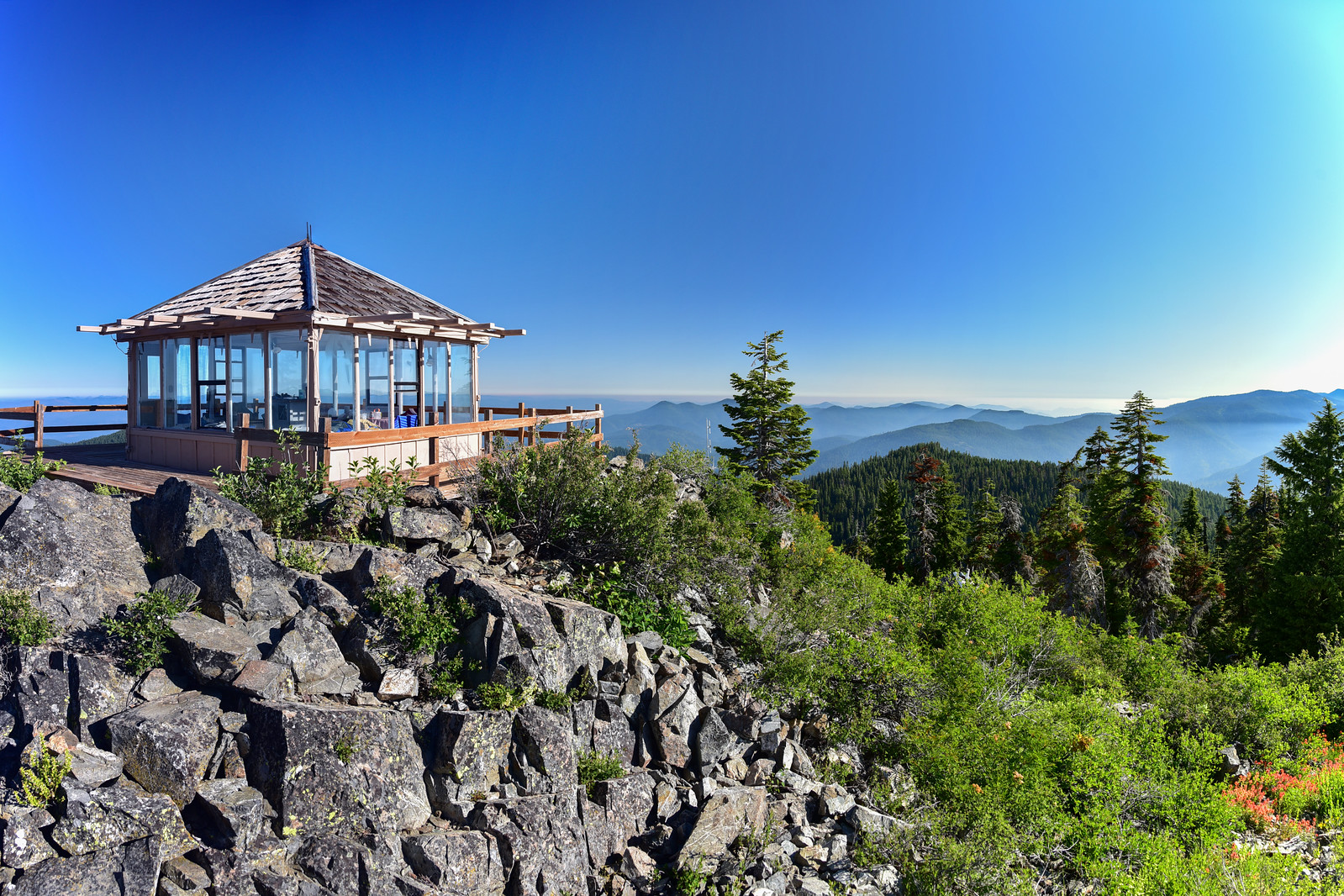
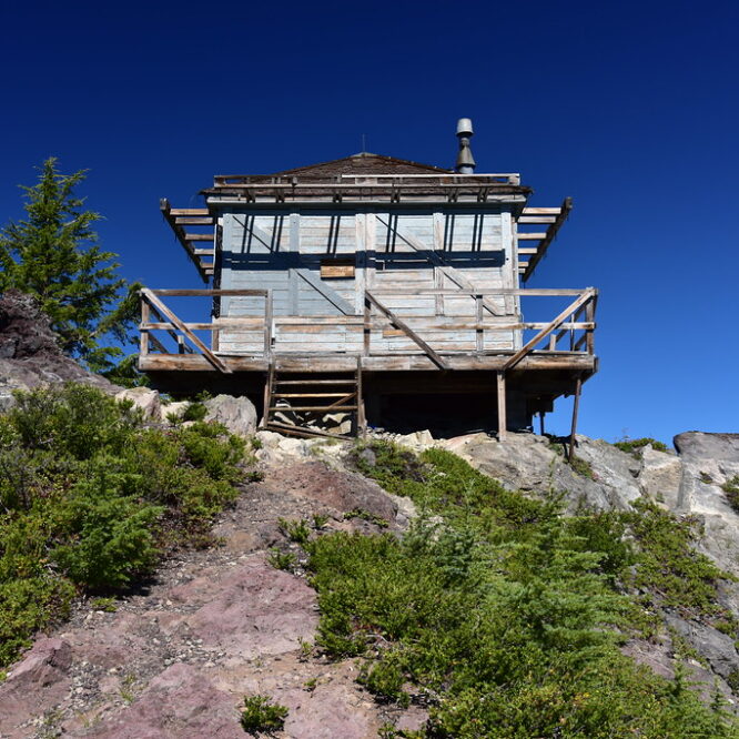
Type: D-6 cupola cabin Status: Not staffed Elevation: 6,200′ Visited: July 13, 2023 The Hershberger Mountain lookout is one of