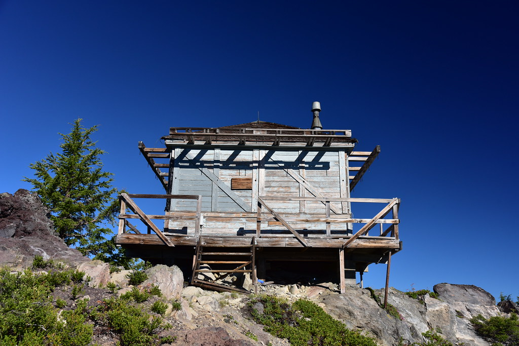
Type: L-4 ground cabin
Status: Abandoned
Elevation: 7,024′
Visited: July 14, 2023
I visited Garwood Butte during my southern Oregon trip in July. You can drive part of the way up, but then you have to hike the rest of the way. The road is in rough shape:
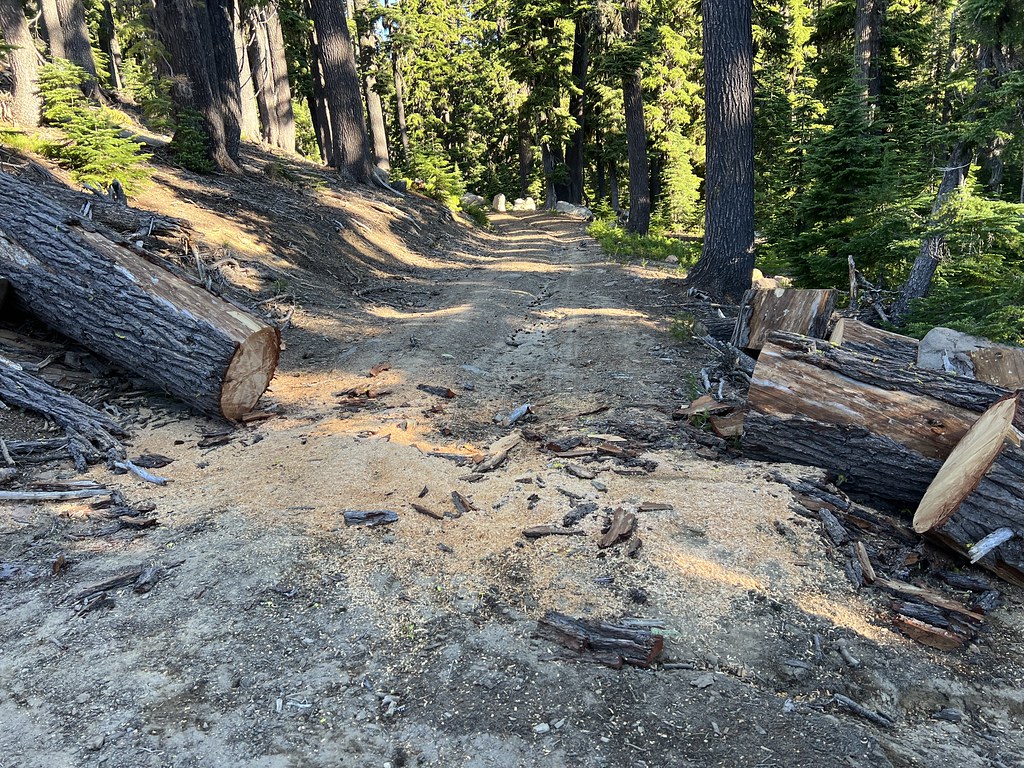
I saw plenty of evidence of dirt bikes coming up the trail. In this spot they had caused some damage and erosion by cutting the switchback:

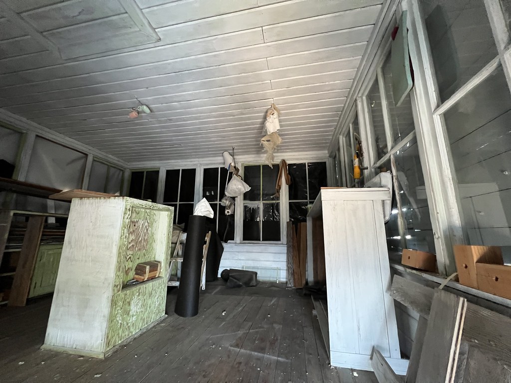
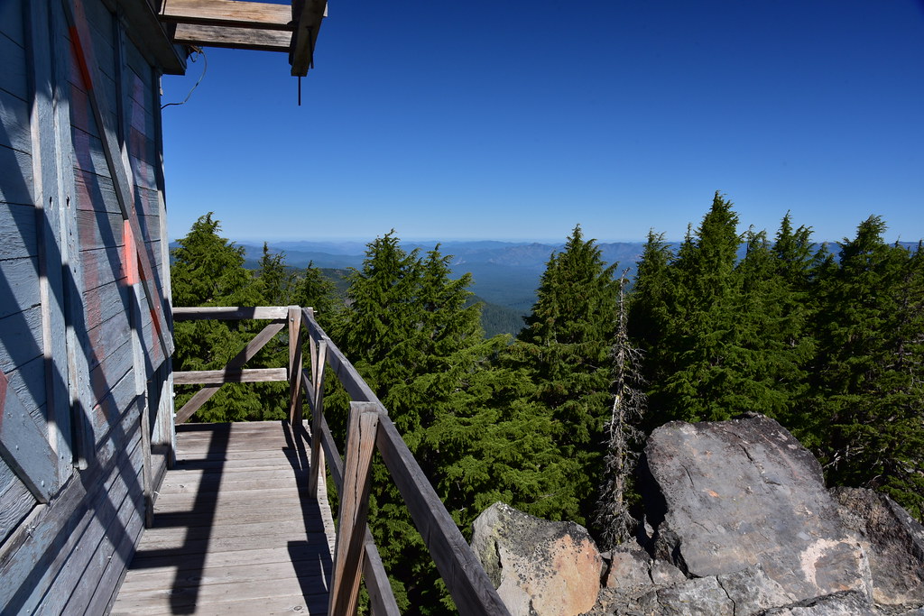
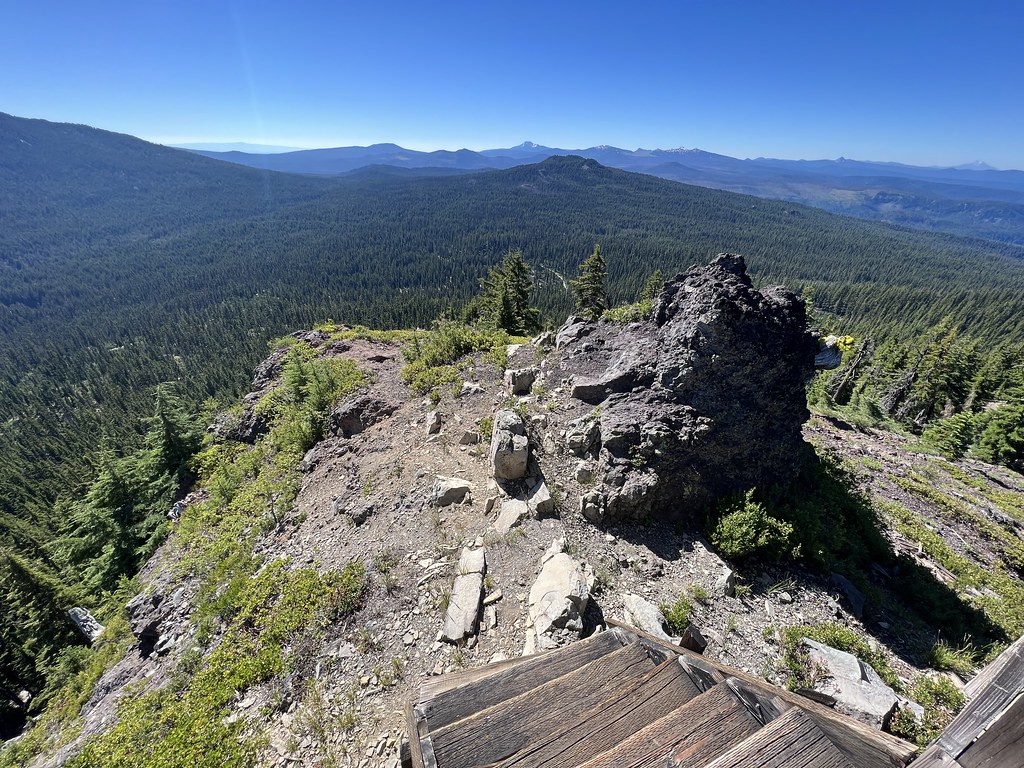
The lookout is abandoned but in decent shape:

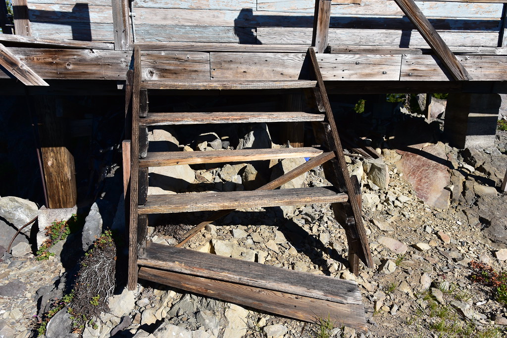
The bottom stair tread had come loose:
I was surprised and delighted to see this sign on the lookout that said “Rehab in progress. Please leave things as they are. For info: Angie Snyder, N. Ump. Dist.”

Getting the Forest Service to answer my questions is always difficult, but I later learned that this sign is old and outdated. Angie retired back in 2015. It sounded like there is no work currently being done on the lookout. I asked if the intent of restoring it was to make it a rental or a first-come first-serve location, but I received no answer.
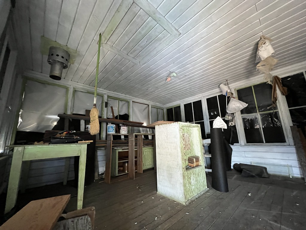
It wasn’t possible to raise the shutters, but the door was unlocked so by crouching on the catwalk I could see inside beneath the bottom of the shutters through the open doorway. There were still rehab supplies in there:

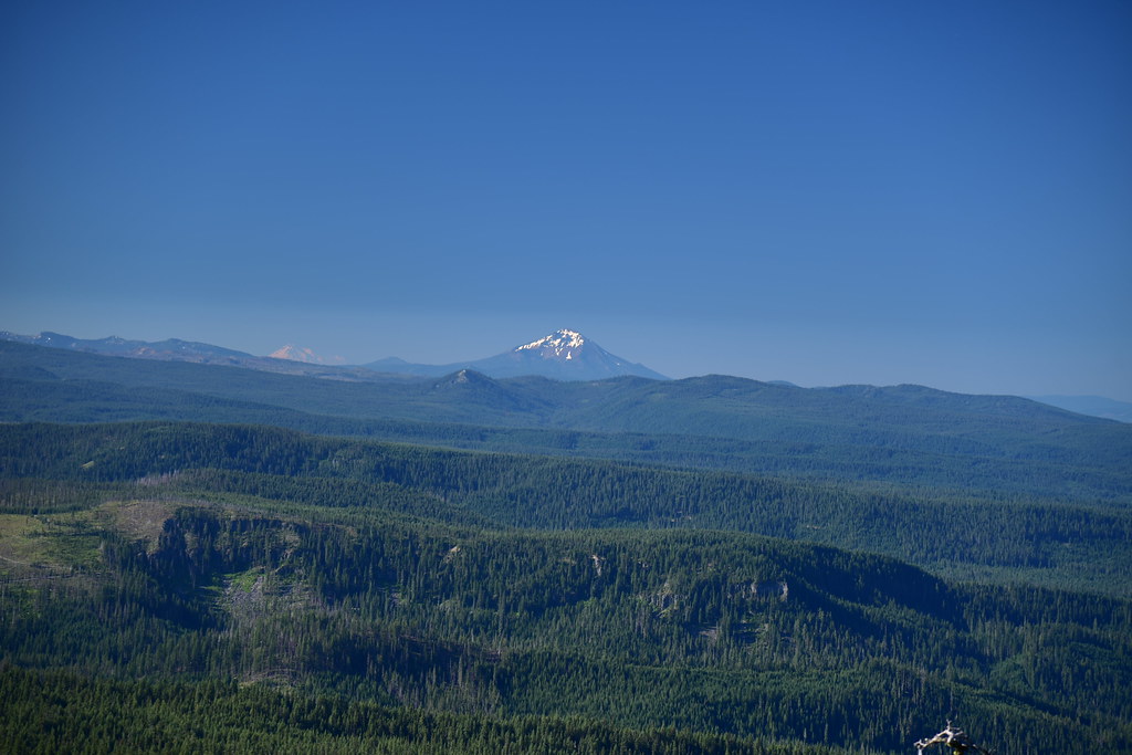
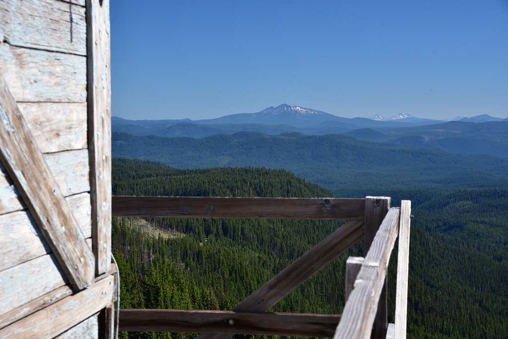
It was a gorgeous day and the views were fantastic. Looking south:

Distant Mt. Shasta at left and Mt. McLoughlin at center:
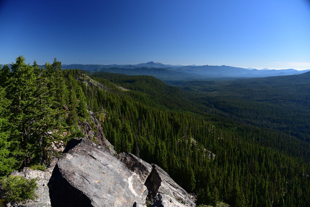
Looking west:

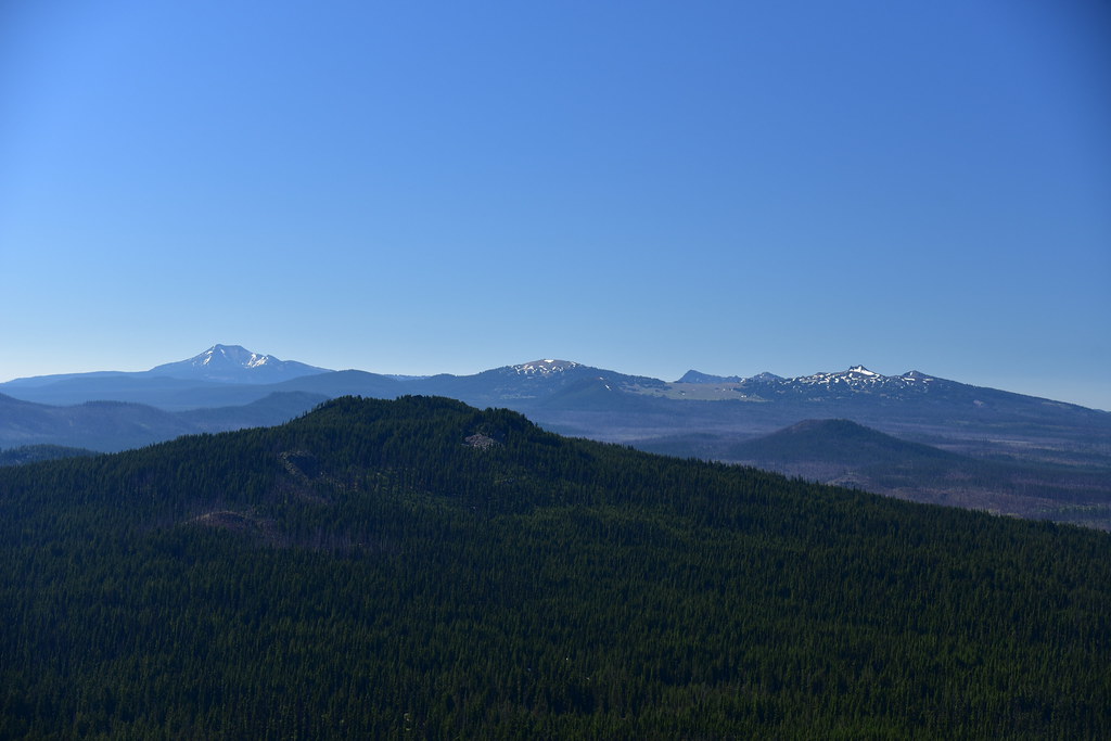
Looking north at Diamond Peak, the Three Sisters, and Maiden Peak:

Looking east at Mt. Bailey, which was once the site of a lookout. That’s a hike I’d like to do sometime:

Looking southeast at Mt. Scott, Llao Rock, Garfield Peak, and Hillman Butte:
The old outhouse is missing its door, but still standing:

More information
Forest Lookouts
Rex’s Forest Fire Lookout Page
National Historic Lookout Register
Peakbagger
Geocache
Directions
From the highway turn onto Road 3703 and drive for approximately 6.2 miles to the junction with Road 370. Most drivers will want to park here and walk, but if you have a rugged vehicle drive about 1.2 miles up the road to the unmarked trailhead. The spot where the trail intersects the road has no parking, but there is a pullout just beyond. From here it is a 0.7 mile hike to the summit.
History
In 1942 an L-4 looking was constructed on Bear Butte. Two years later in 1944 the peak was renamed for Leroy Garwood, a past District Ranger on the Diamond Lake Ranger District, who died that year. The lookout hasn’t been staffed since sometime in the 60s or 70s, but still stands.
At some point (date unknown) restoration was being undertaken on this lookout. But I’m told that the Forest Service person overseeing that project retired in 2015 and the restoration work has halted.
Here’s something weird: on July 14, 1961 = exactly 62 years to the day prior to my visit – a helicopter had to bring the guy staffing the lookout up to the summit because heavy snow blocked the road. It would have required a 14-mile one-way hike to get there if not for the helicopter. During my visit I didn’t see any snow at all.