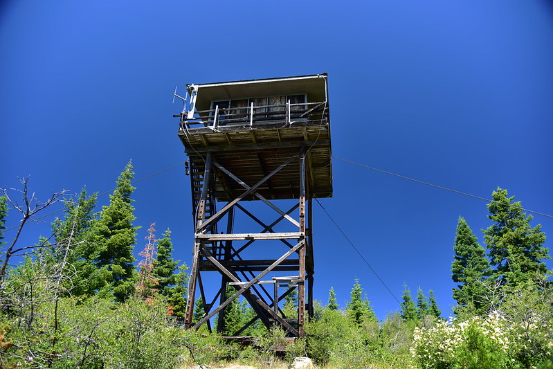
Type: 30′ tower
Status: Remote camera
Elevation: 5,075′
Visited: July 12, 2023
Road 290 to the White Point lookout is not in great shape, its biggest problem being that it’s getting quite overgrown:

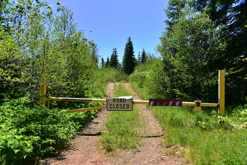
1.1 miles along Road 290 is the short spur to the lookout, which is gated:
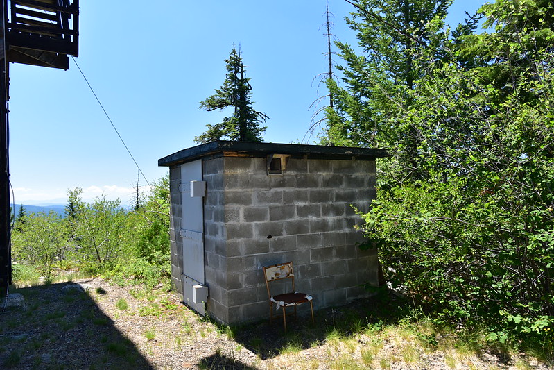
This lookout sits in the Rogue River-Siskiyou National Forest but is owned and operated by the Oregon Department of Forestry. It is no longer staffed and is now the site of a remotely-monitored camera. (Some of this equipment was stolen when the lookout was broken into last August.) I waved hello to the cameras when I arrived:


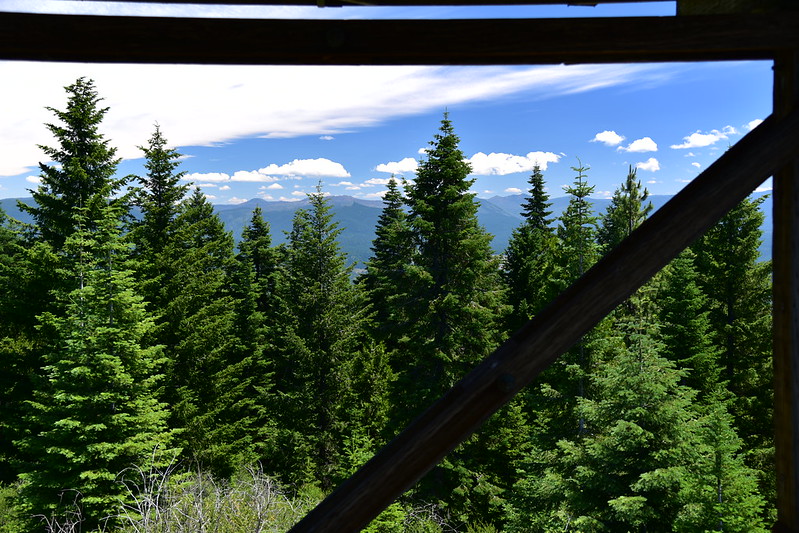
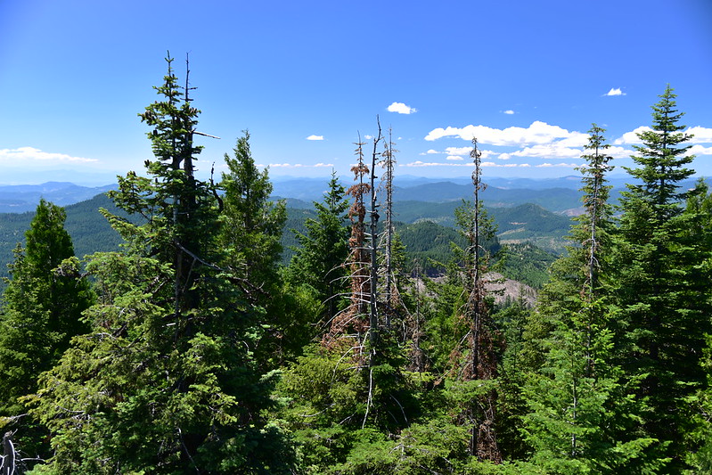
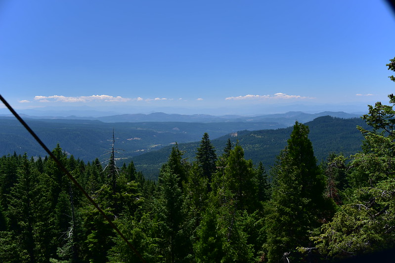
I climbed as far up the stairs as I could to see the views. Looking southeast:
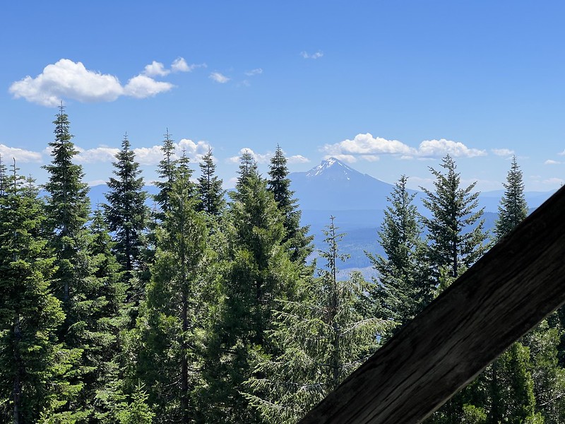
Mt. McLoughlin to the southeast peeking through the trees:
Looking north to the parking area below:

Looking south:
Looking west:
More information
Forest Lookouts
Rex’s Forest Fire Lookout Page
National Historic Lookout Register
Peakbagger
Geocache
Directions
From Highway 62, one mile south of the High Cascades Ranger station, turn west onto Road 64. At 2.8 miles the road forks. Take road 200 up to the left. Drive 4.1 miles then turn left on Road 290 and drive 1.1 overgrown miles to the gate. The lookout is 0.1 miles beyond this gate.
History
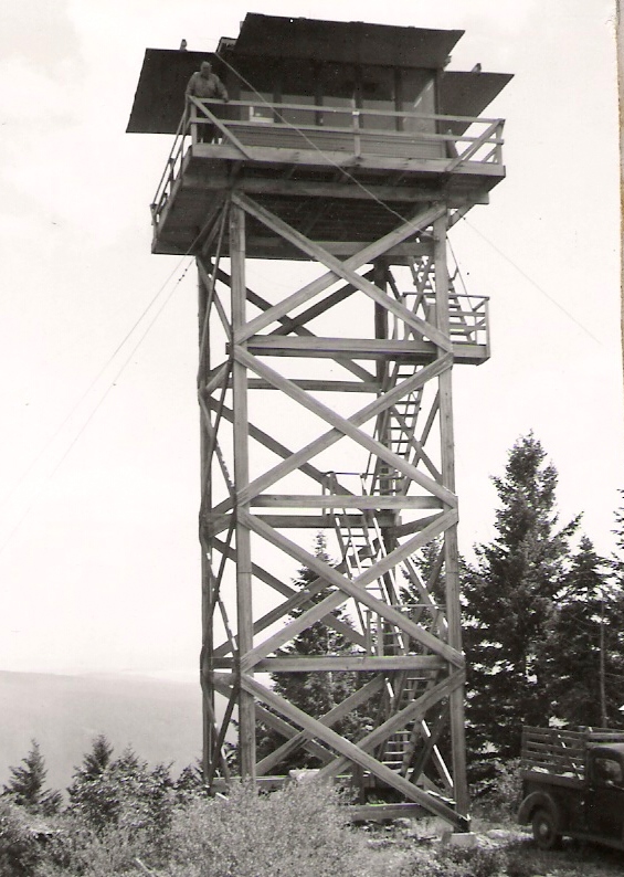
A 40′ tower was built on White Point in 1951.
1959
That tower was replaced with a 30′ tower with a 14×14 Amort flat roof cab in 1974. At some point in the past decade it stopped being staffed, and cameras were mounted on it for remote monitoring.