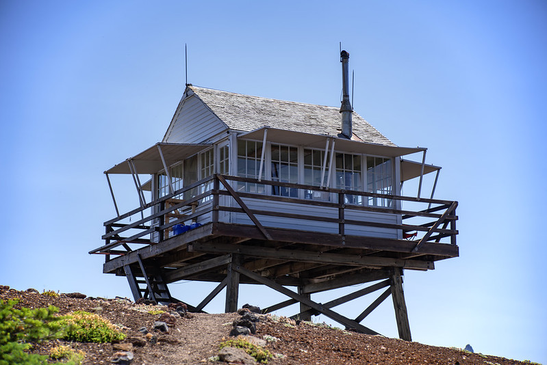
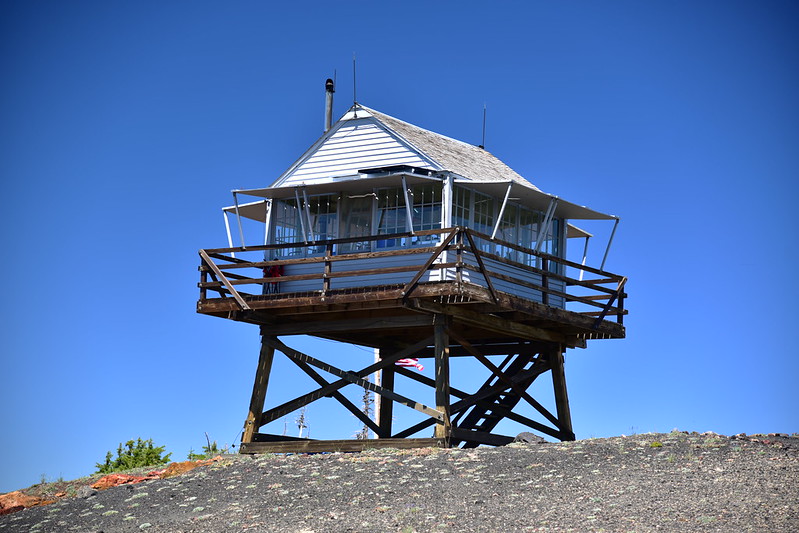
Type: 10′ L-4 tower
Status: Staffed
Elevation: 5,59′
Visited: July 8, 2023
Today I got up early and drove down to the Santiam Pass area to hike up Sand Mountain.
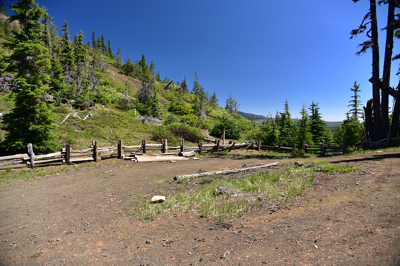
After hiking up the road I reached road’s end and a parking area. This used to be where the public parked and started walking, but now the road to this point is closed:
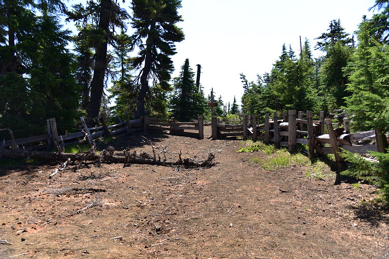
The old road (now just a trail) continues at the far end of the parking area:

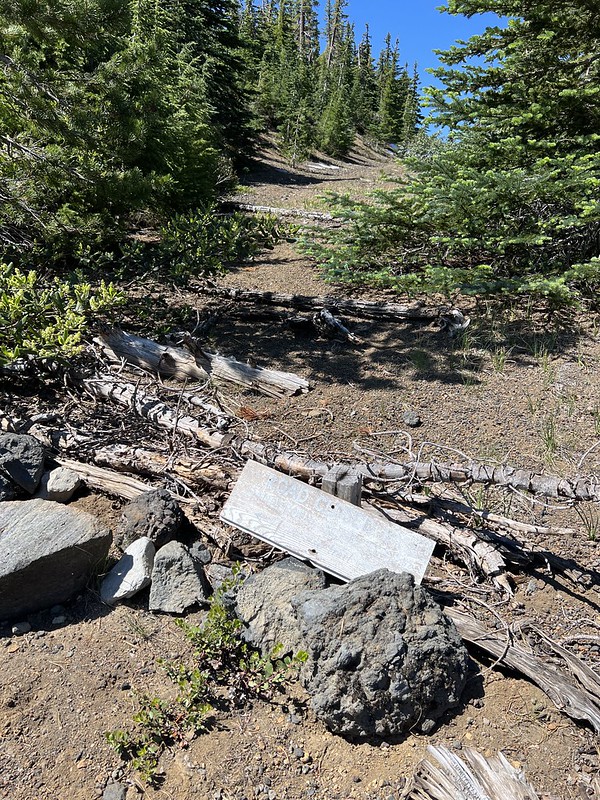
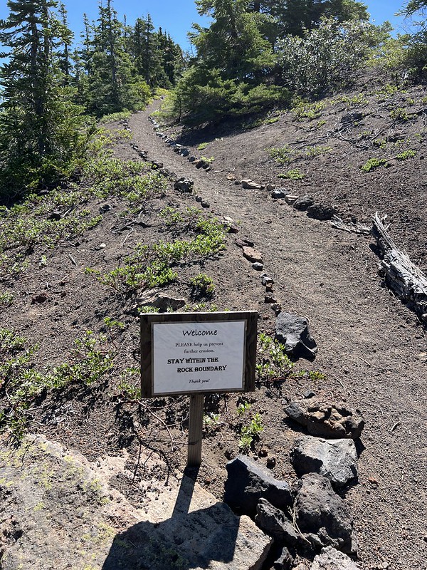
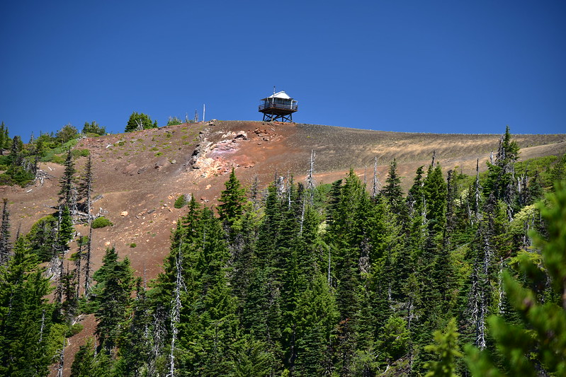
Almost there!

I passed the spot where the used to continue to the right to a parking area closer to the summit. It’s closed and blocked off now:

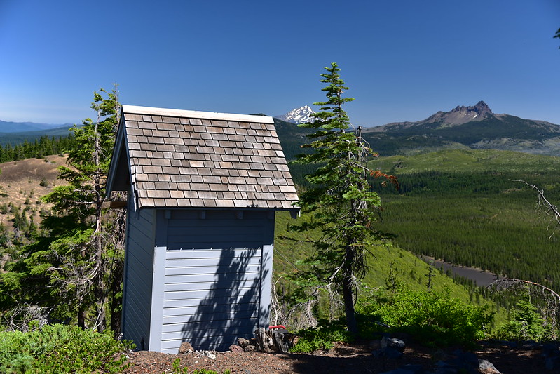
Outhouse with a view:
Reached the summit!
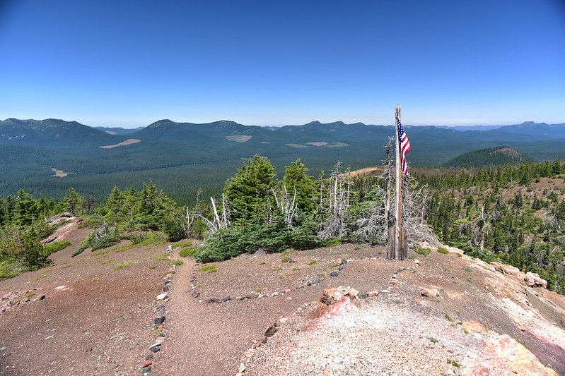
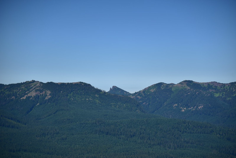
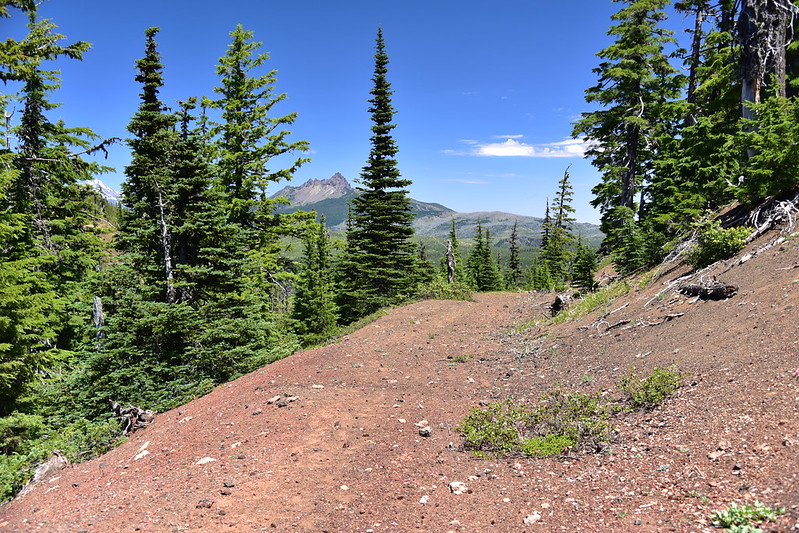
The views were great! Looking northwest with Crescent Mountain left of center, the Three Pyramids just left of the flagpole, and Coffin Mountain at far right:
Maxwell Butte, Mt. Jefferson, and Three Fingered Jack to the north:

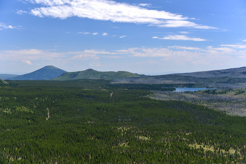
Looking northeast at Hoodoo Butte, Hayrick Butte (the flat one), Black Butte, and Cache Mountain:

Looking east at Black Butte, Cache Mountain, Big Lake, and burned trees from the 2011 Shadow Lake Fire:
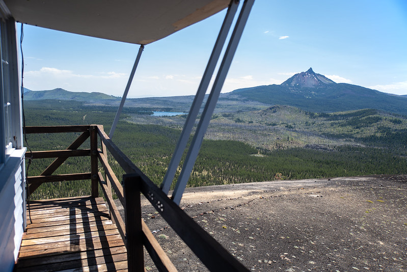
Mt. Washington to the southeast:
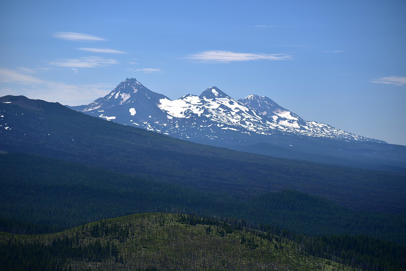
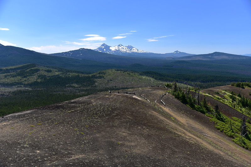
The Three Sisters to the southeast:
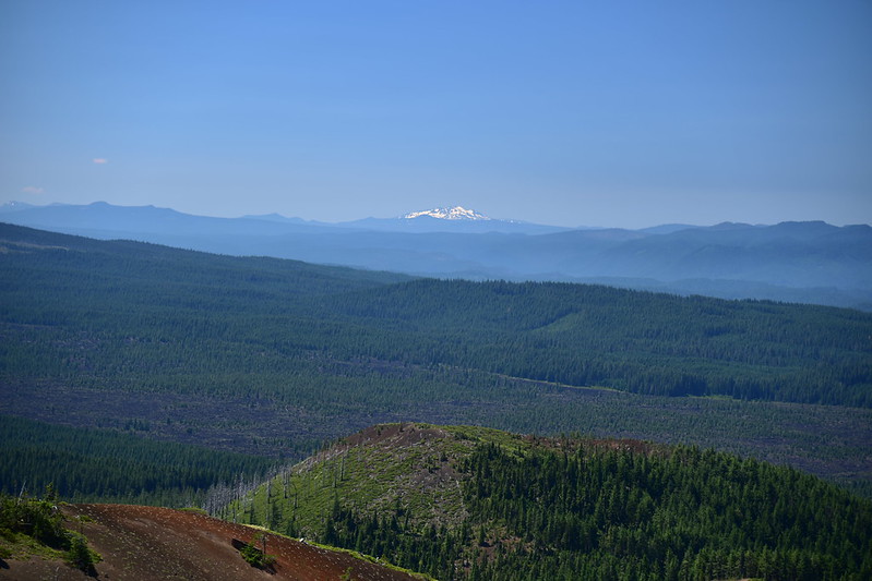
Diamond Peak to the south:
Looking southwest:

A slew of Cascade peaks to the west:

Iron Mountain at center:
Carpenter Mountain:

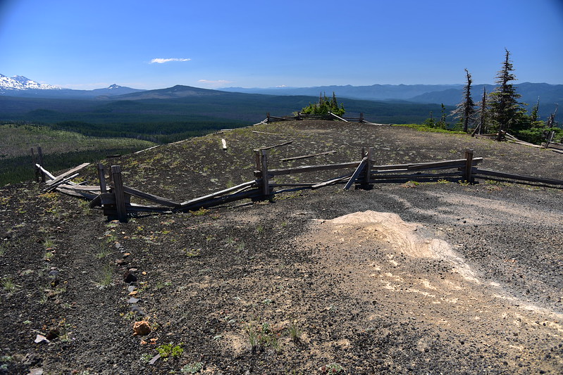
You can see where the road used to end below. This was where lookout staff used to park until the road disintegrated too badly. The fence line surrounding the former parking area is being swallowed up, but it’s still visible:

I had a nice chat with the lookout on duty, and we enjoyed swapping lookout stories. He said that when the lookout was opened up for the season it was discovered that vandals had broken in over the winter.
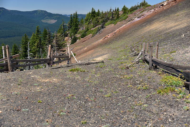
I left him to his work and I set off down the trail towards the former parking area:

You can barely tell anymore, but the road used to come up right in the center:
The trail continues on the other side of the fenced area:

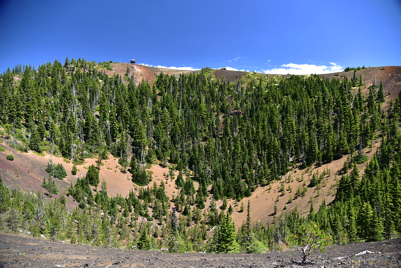
And around the rim of the summit:

Looking back:
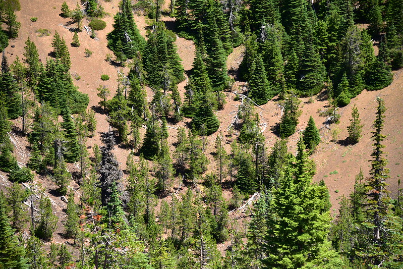
Looking down into the hole:
After circling the rim I came to the old road. Turning right would have taken me along the old eroded stretch to the former parking area. I turned left to head back to the trail:

More information
Forest Lookouts
Rex’s Forest Fire Lookout Page
National Historic Lookout Register
Peakbagger
Panorama Photos
Geocache
Directions
From Santiam Pass turn onto Big Lake Road. After 3.1 miles turn right onto Road 810. Drive for 2.9 rough miles, then park next to the wooden Sand Mountain (don’t block the gate). Start hiking up the road and continue 1.8 miles to the summit of Sand Mountain.
History
Around 1931 a gable-roofed L-4 ground cabin lookout was built on Sand Mountain.

1966
In 1968 the lookout burned down and was replaced a pop-up cupola trailer was used for a short time after that. The site was abandoned for decades until the Sand Mountain Society salvaged the lookout from Whiskey Peak in southern Oregon in 1989 and re-constructed it on Sand Mountain.

1989

1991