Type: Wooden platform
Status: Abandoned
Elevation: 6,414′
Visited: October 15, 2022
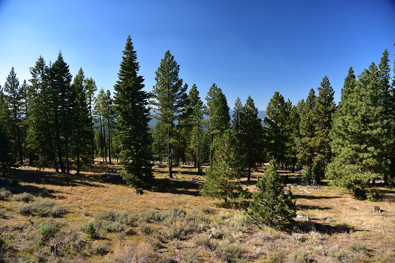
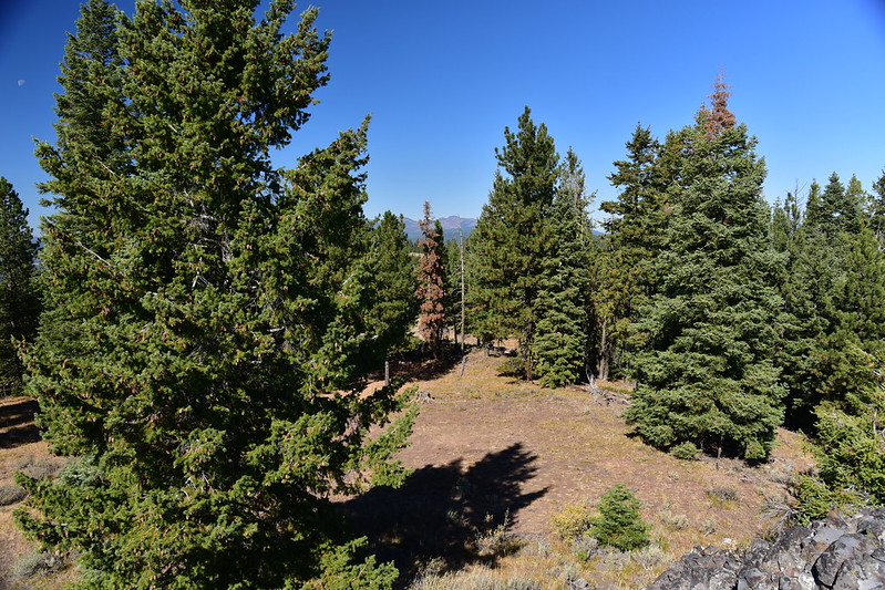
While staying at the Short Creek Guard Station I visited two lookouts, the first one being Crane Point. Does a wooden platform count as a lookout structure? I don’t know, but I was in the neighborhood so I visited it. I parked here and walked the last few hundred feet:
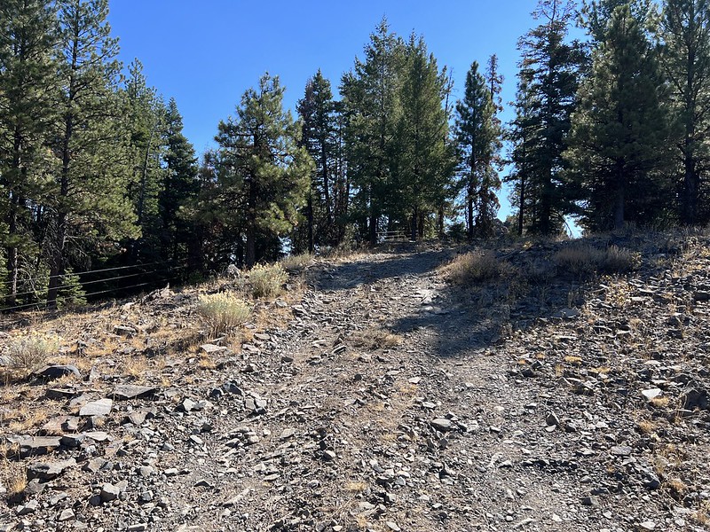


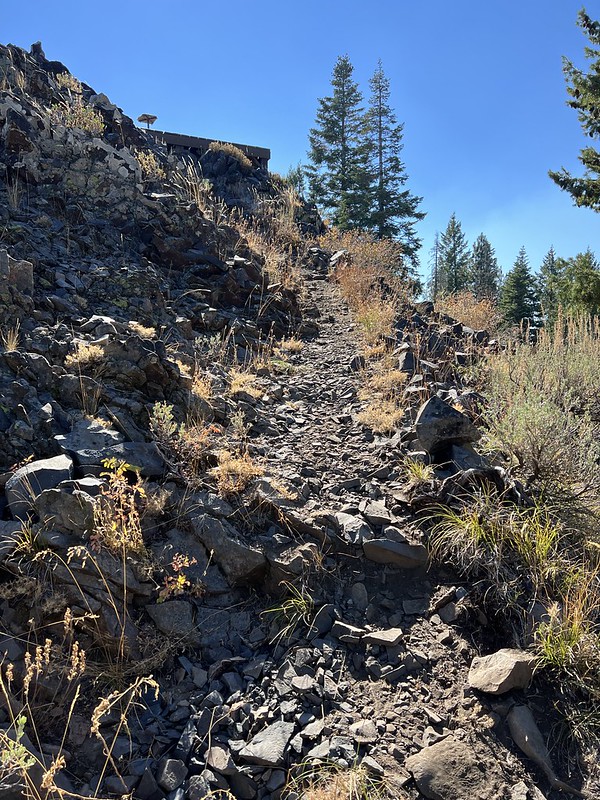
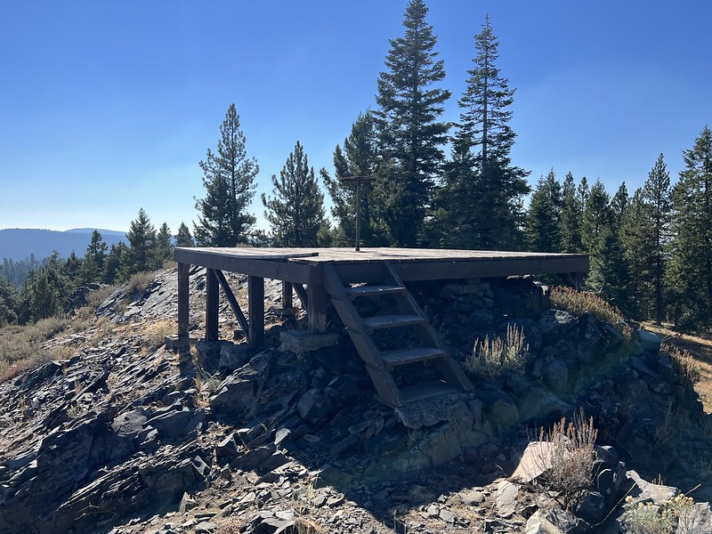
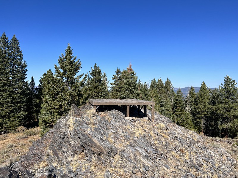
The summit has a wooden platform and an old weathered fire finder stand:

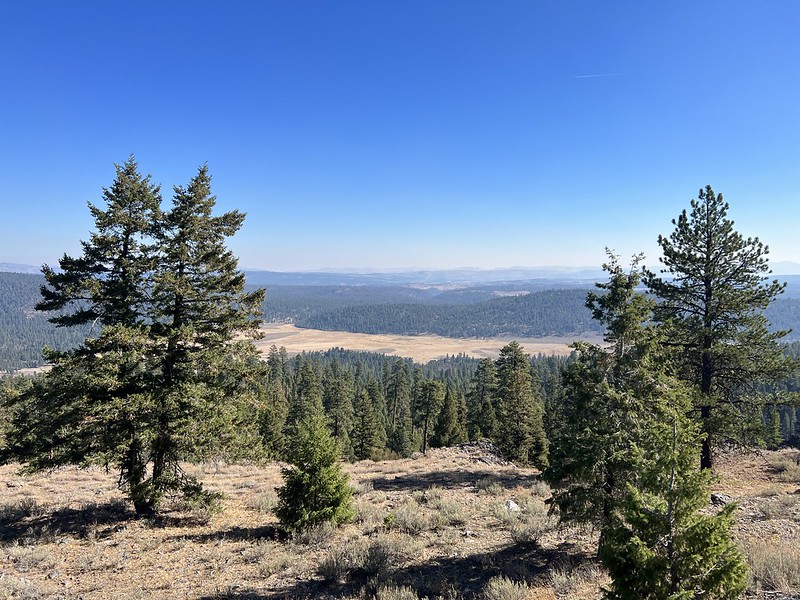
The views aren’t bad. Looking out over Crane Prairie:
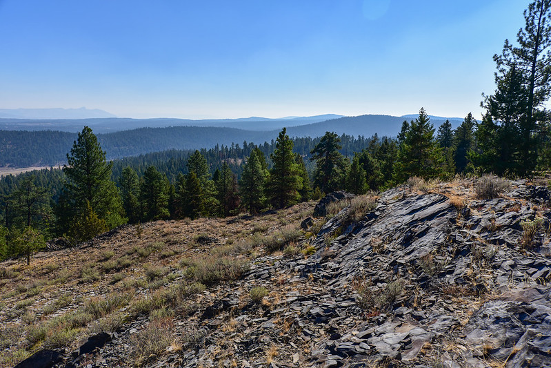
Looking south at Antelope Mountain, where I was headed next:

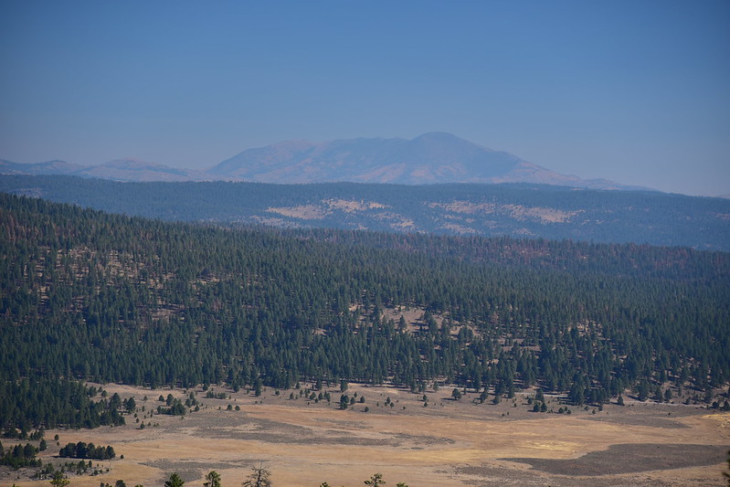
Ironside Mountain to the east:
There are no views to the west or the north now because the trees have grown up:
USGS survey marker:

Directions
From the intersection of Roads 14 and 16 drive south on 14 for 0.6 miles. Turn right onto Road 1410. After 2.4 miles reach an intersection where you will bear left onto road 380. After 0.7 miles on 380, turn left onto 407 and follow it 0.3 miles to road’s end on Crane Point.
Note that Crane Point is in the Conroy Ciff Cooperative Travel Management Area and Road 1410 is closed during hunting season (see map). The signs said that the periods of restriction were September 18 through October 12 and October 23 through November 13. An alternate route to Crane Point would be to approach from the south instead of the north by continuing south on Road 14, then turn right onto Road 185, right onto Road 1450, then right onto Road 380.
More information
Forest Lookouts
Rex’s Forest Fire Lookout Page
Geocache
History
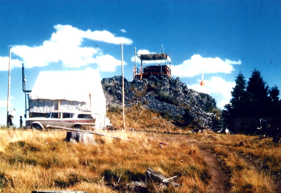
Crane Point was a lookout site starting in 1930. No cabin or tower was built here, just a platform with fire finder stand on the summit and a nearby tent camp:
It was used into the 1960s. Everything is gone now except for the weathered fire finder stand and the old platform.
