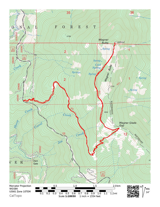
Thursday, July 5, 2018
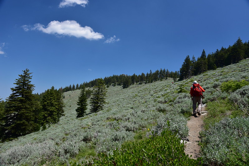
Greg and I had breakfast at our campsite at the Mt. Ashland Campground then drove up Road 20. We passed the point where snow had blocked our progress last year (no sign of snow this year) and continued on to Road 22, which we followed to the Wagner Butte Trailhead.
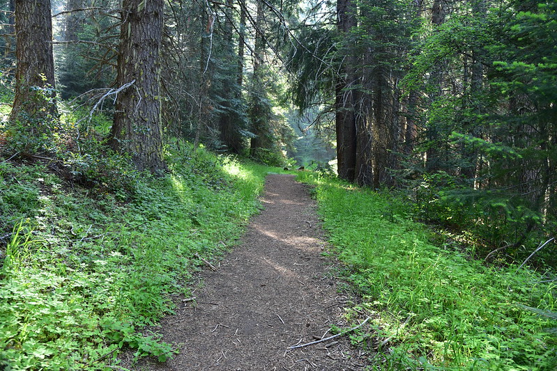
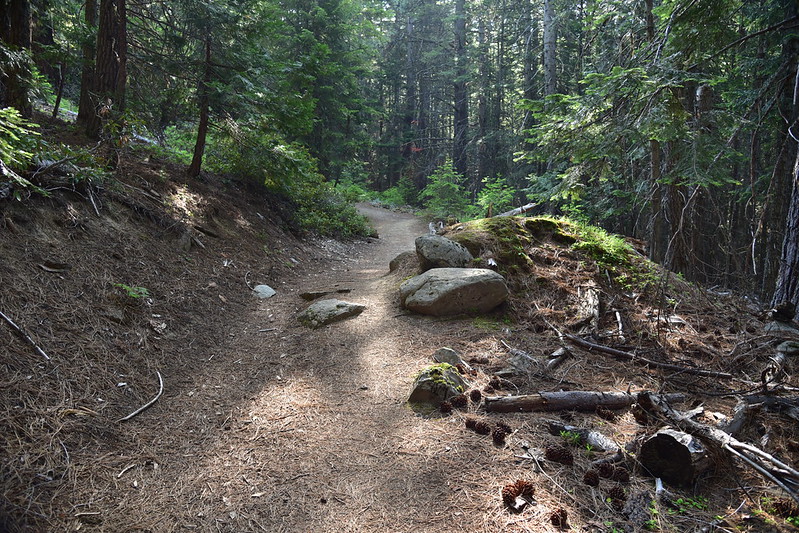
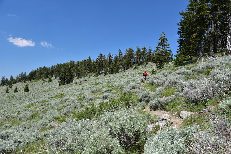
After switchbacking up the hill, the trail then follows the route of a long-abandoned road, passing the occasional collapsed berm from back when this road was decommissioned.
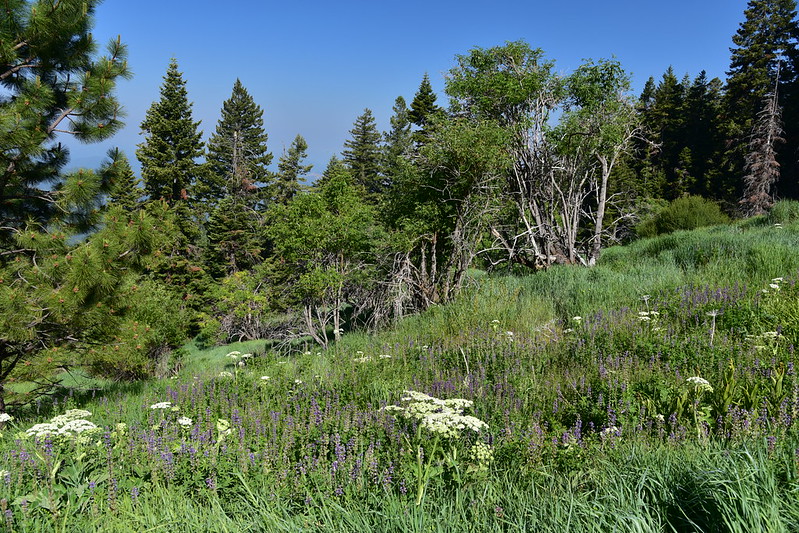
The trail reaches the Sheep Creek Slide and a sign explains what it is:
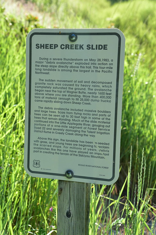
I tried to find photos from 1983 showing the slide right after it happened, but I had no luck. What a sight that must have been! Now, 35 years later, it just looks like a huge grassy meadow with some wildflowers:
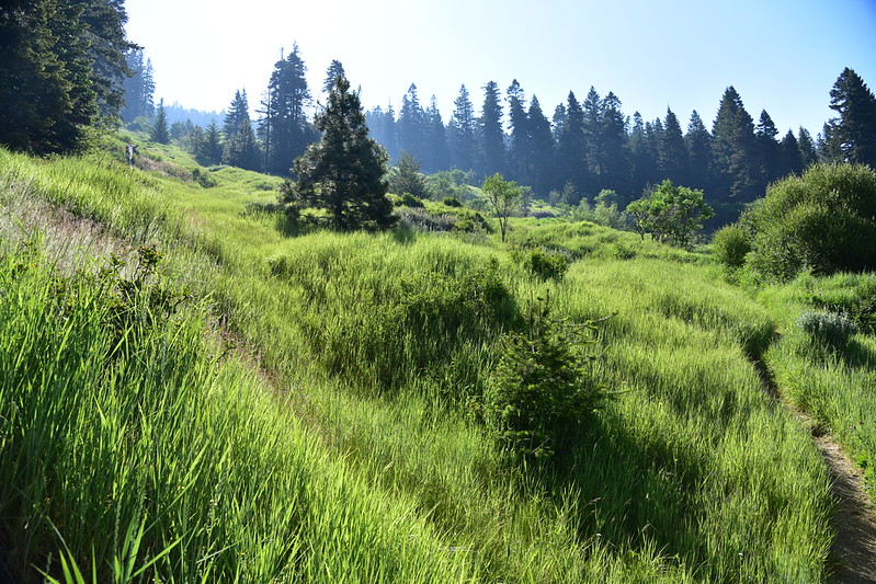
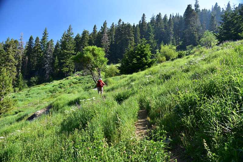
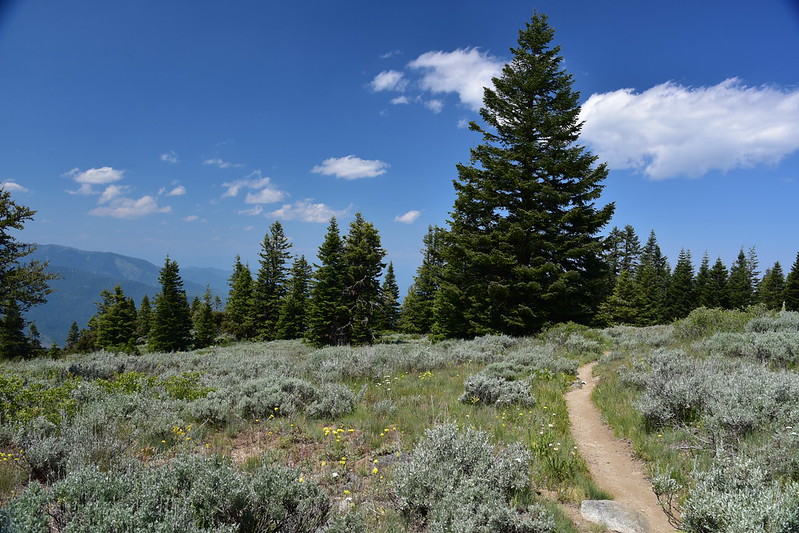
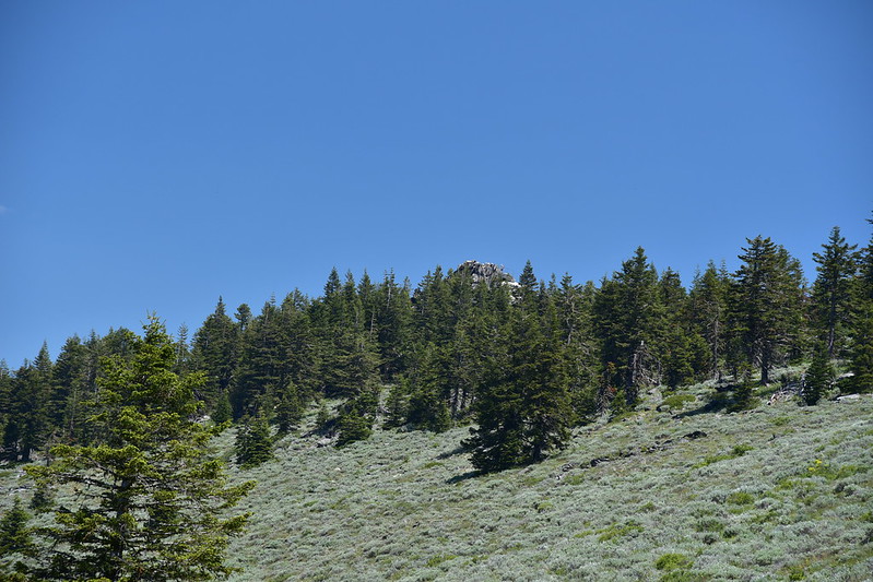
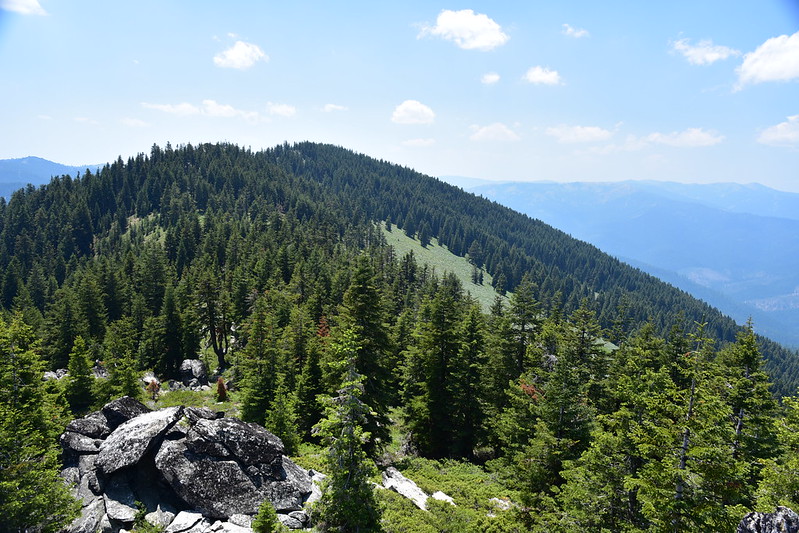
The trail takes it’s sweet time getting to the summit, taking a weirdly indirect route. After hiking south for 2.4 miles the trail abruptly turns uphill and starts switchbacking up.
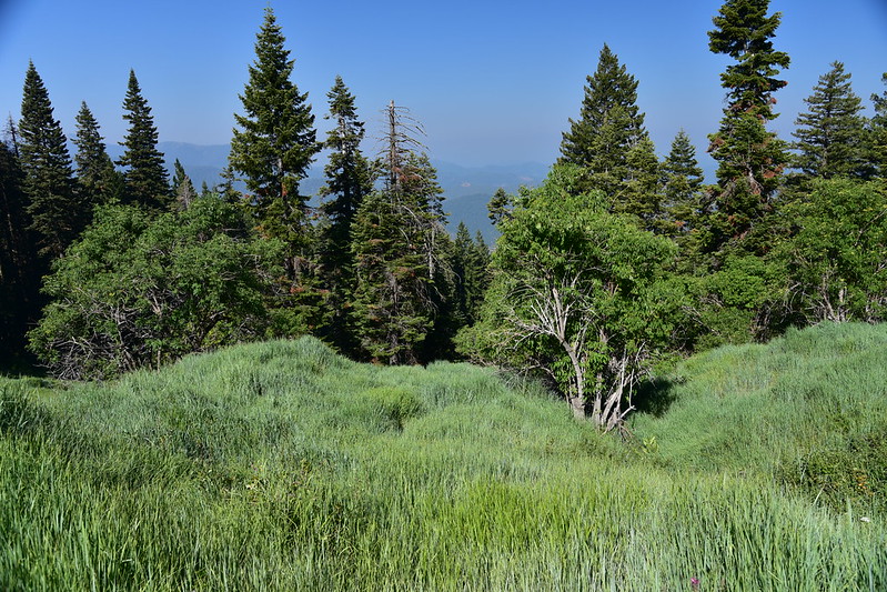
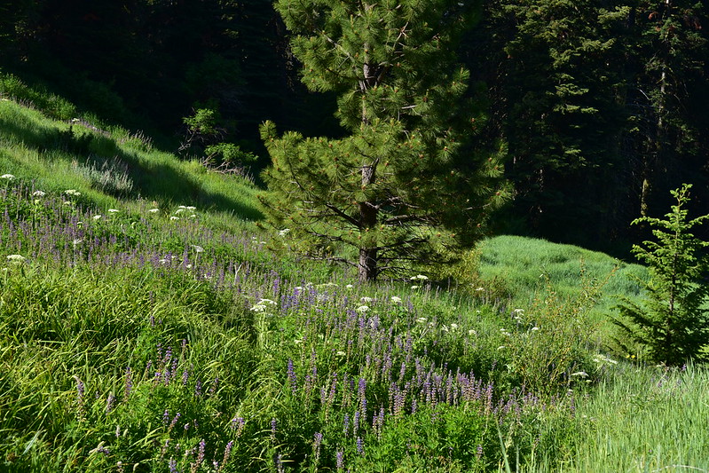
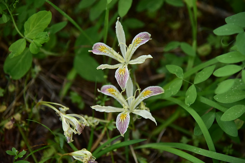
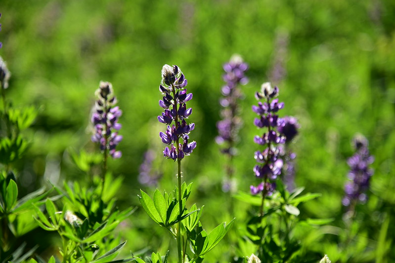
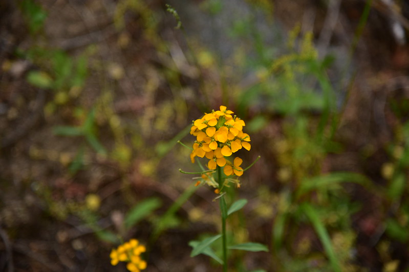
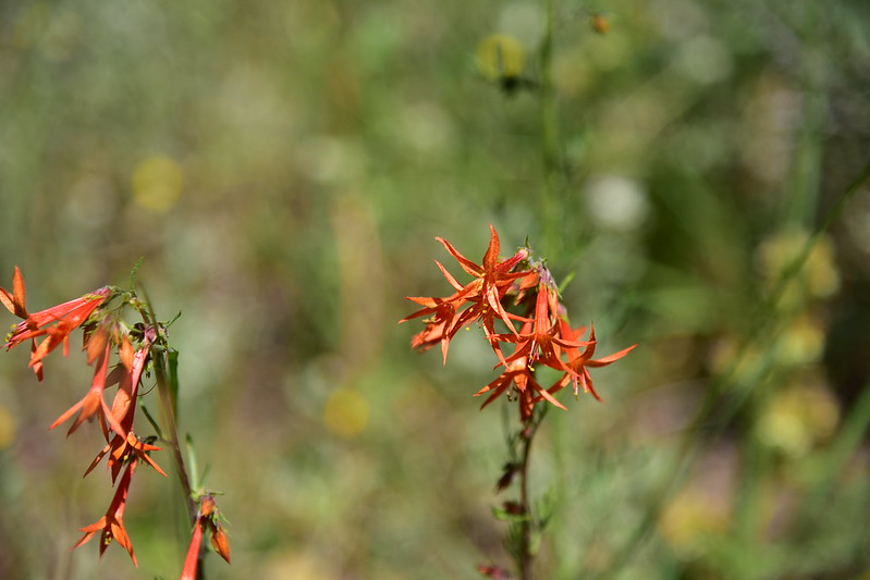
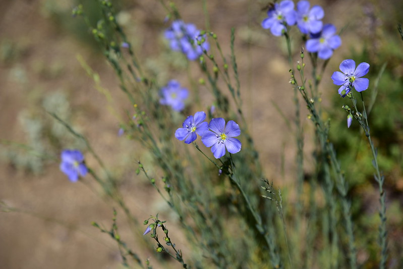
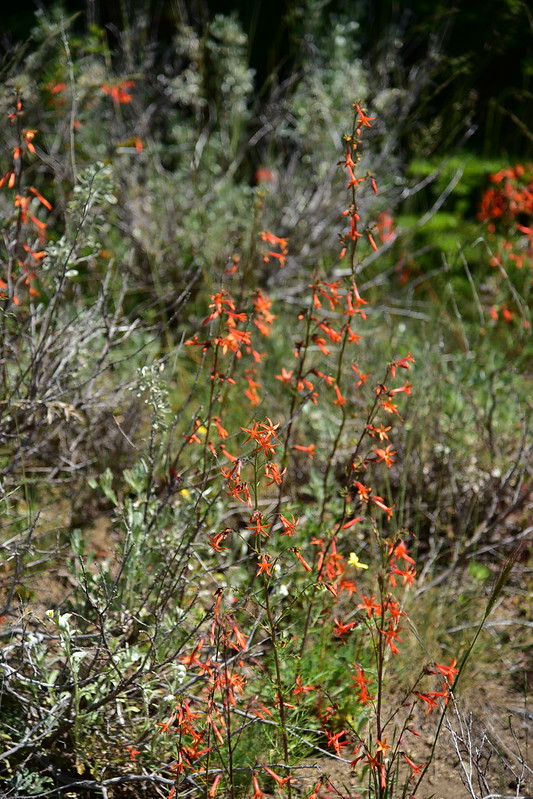
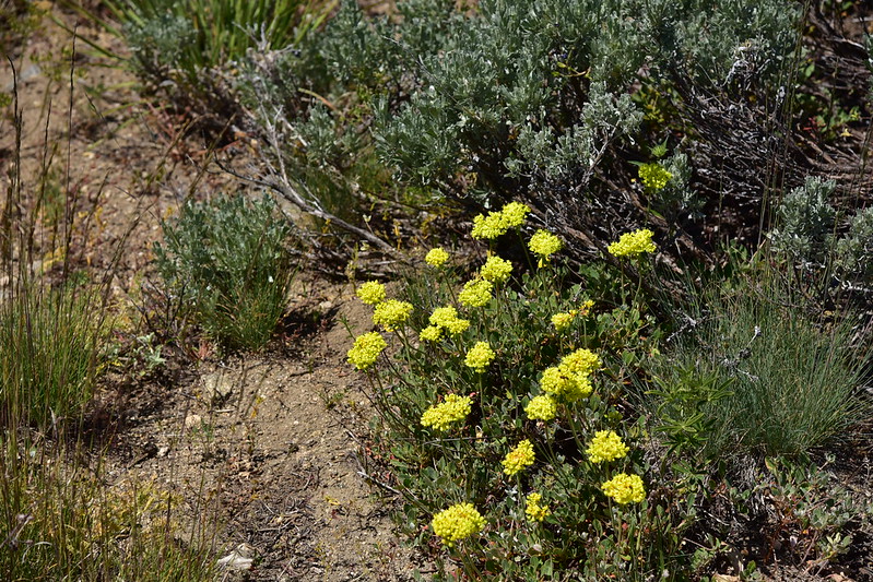
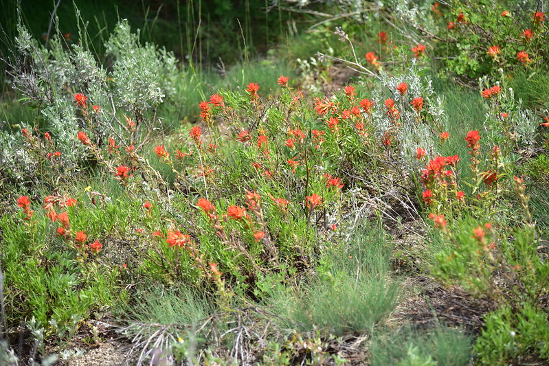
We saw plenty of wildflowers on this hike, which was a nice treat:
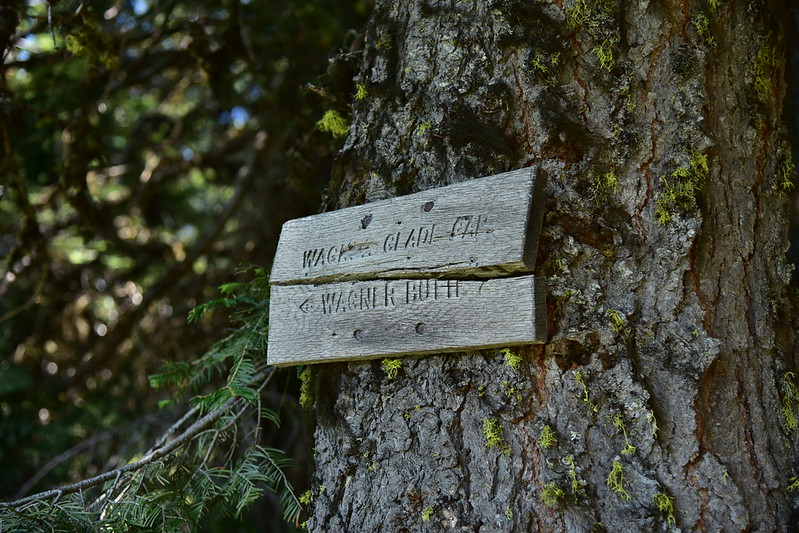
We reached Wagner Glade Gap and a four-way junction, and there were some pretty new-looking signs here, including one that pointed to something called Split Rock:
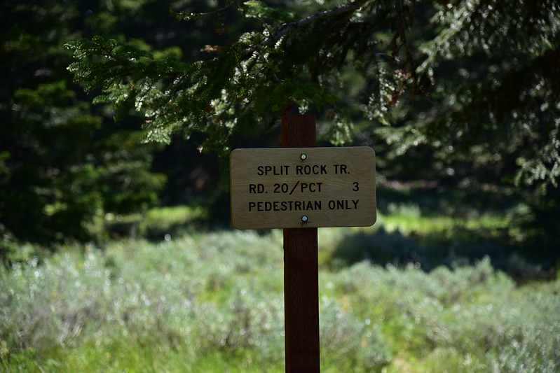
When I got home I looked it up. Here’s a report from last year from that trail.
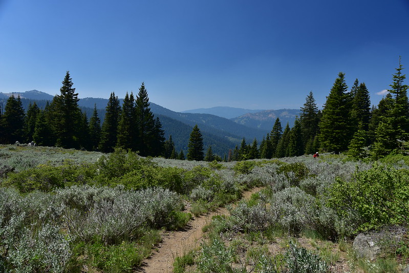
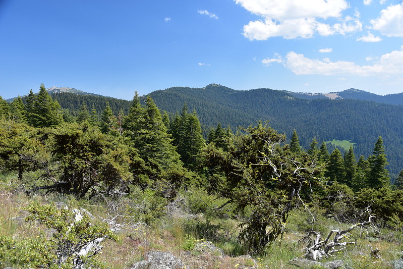
Looking southwest from Wagner Glade Gap:
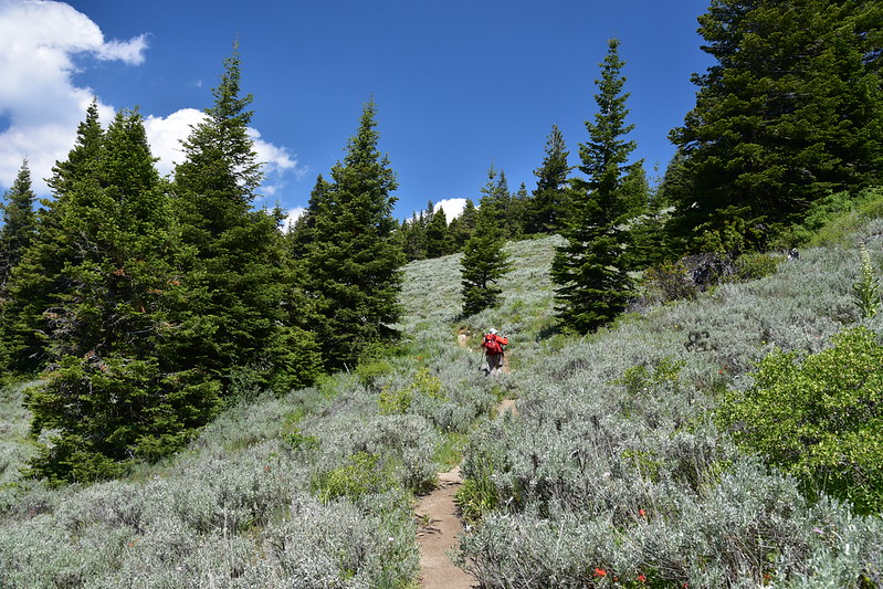
We stopped for a rest here, then pushed on for the final two miles to Wagner Butte:
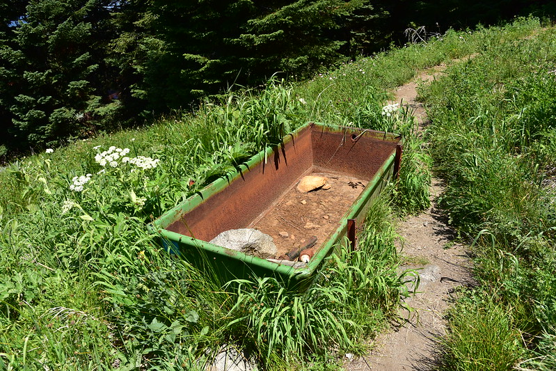
Old cattle watering trough?
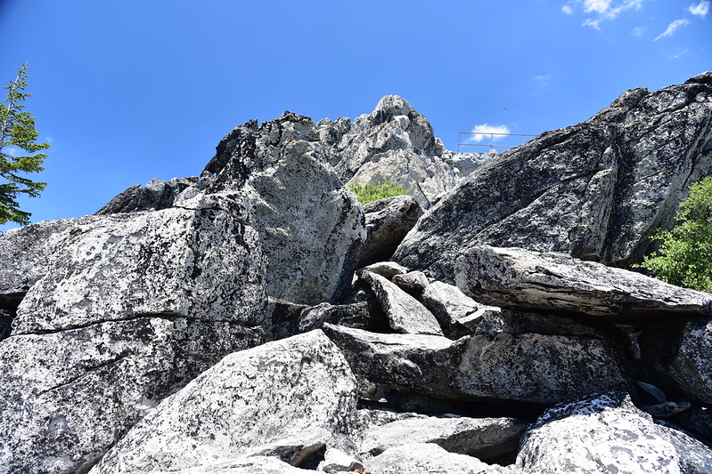
The summit is in sight!
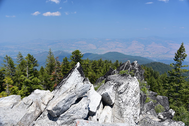
Some scrambling is required to get to the top:
We made it!
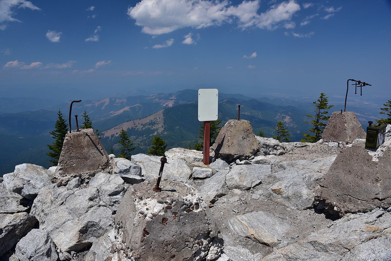
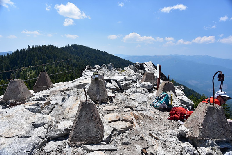
As you can see, this is a former lookout site. A D6 cupola lookout was built up here in 1923. Explosives (100 pounds of picric acid) were used to level the top of the mountain, and 40 horse and mule loads of building material had to be hauled up there to construct the lookout.

National Archives
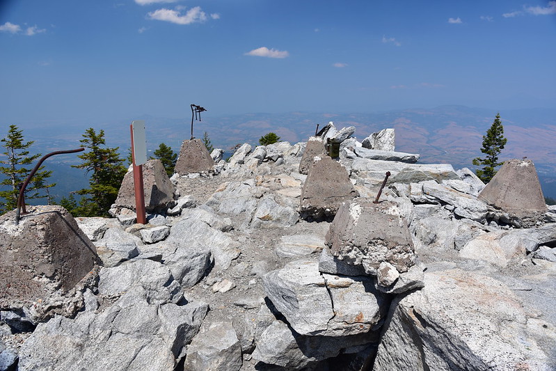
In 1961 a pre-fabricated R6 lookout cabin replaced the cupola cabin, although it was only used for a few years (in 1971 it was burned down):

National Archives
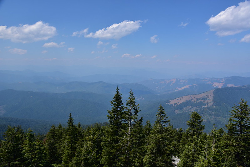
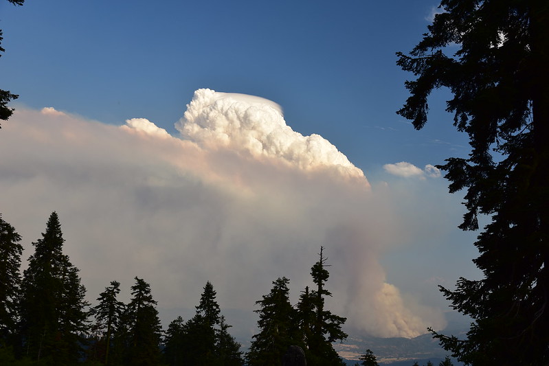
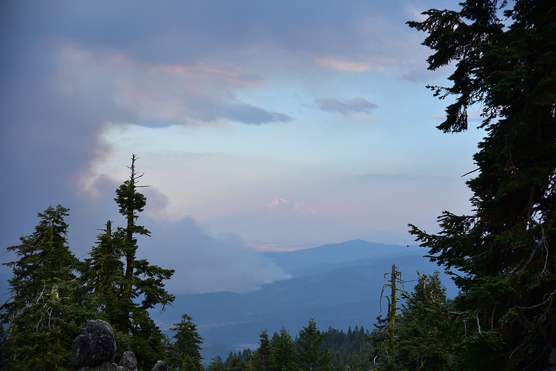
The views were smoky in all directions. Smoke from the Pawnee Fire and Yolo County Fires 200+ miles away had drifted north and made for hazy views, which was a pretty big bummer:
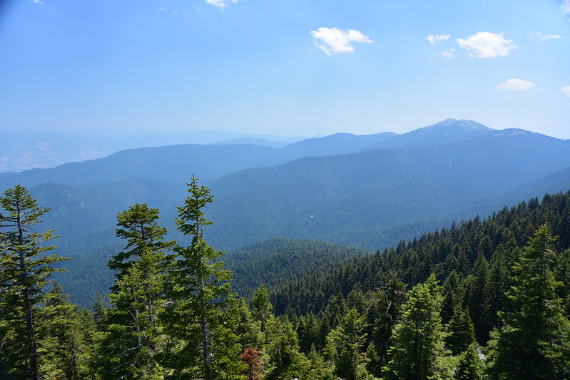
Mt. Ashland:
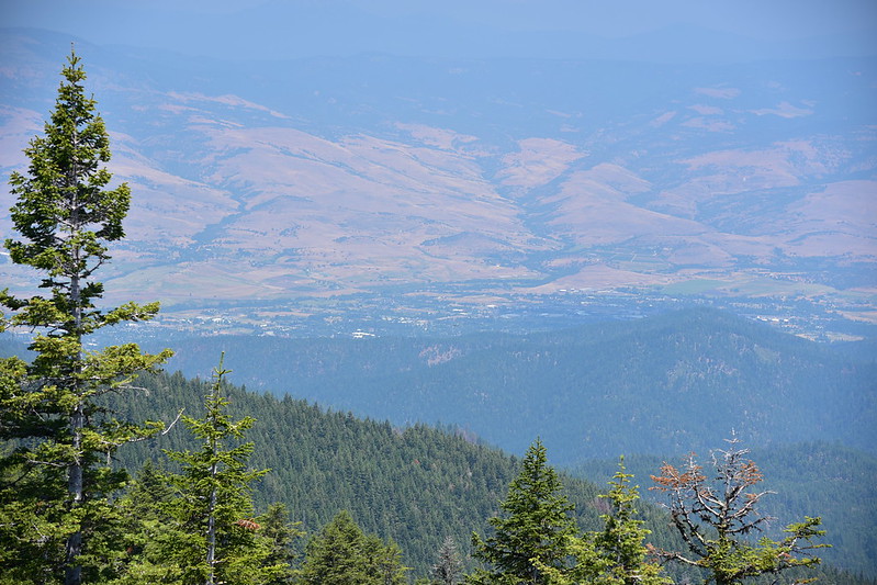
The town of Ashland:
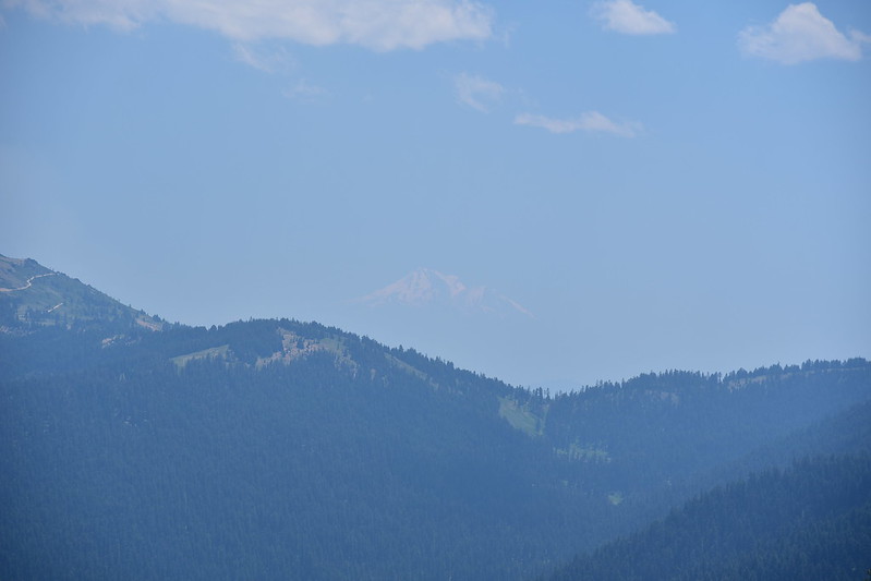
When we first got up there we couldn’t see Mt. Shasta at all, but either the sun’s progress or a slight clearing of the smoke later resulted in us being able to see it a tiny bit:
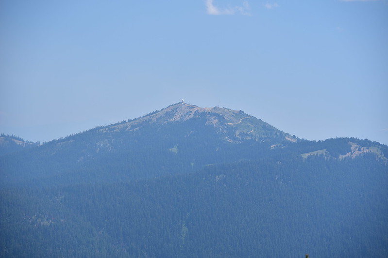
This is the true summit of Wagner Butte, being a bit higher than where we were:
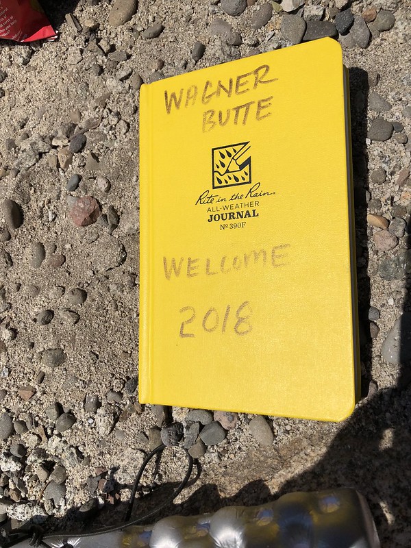
We signed the summit register of course. I was AMAZED at the large number of entries in there, dating all the way back to January! I guess this must be a popular hike.
We hung around on the summit for awhile, having it all to ourselves after a couple with two dogs left. Then we headed back down.
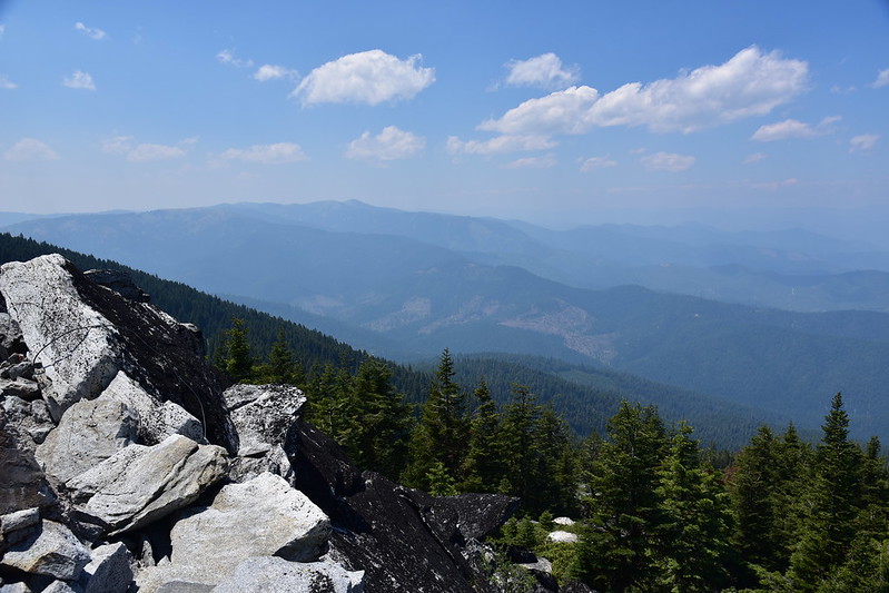
When we got another view again a bit later it seemed like the smoke had cleared a bit. That’s Mt. Ashland on the left:
When we got back to the car we were pooped! 10 miles and 2000′ elevation gain.
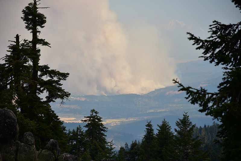
My phone picked up service again as we drove on Road 20 back to the Mt. Ashland Campground. I had a text from my mom that said “I-5 south of Ashland is closed because of wildfire.” Less than a minute later we pulled up to the Willamette Meridian viewpoint and sure enough, we could see the fire. Well THAT’S not good.
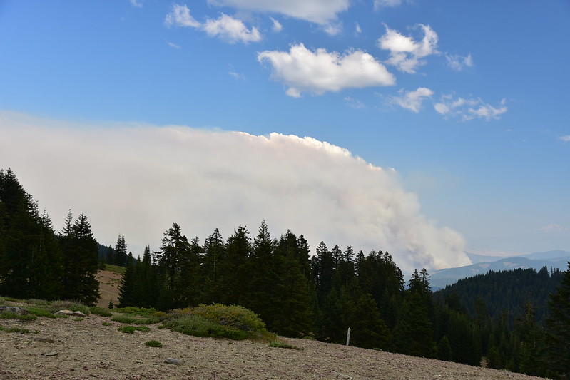
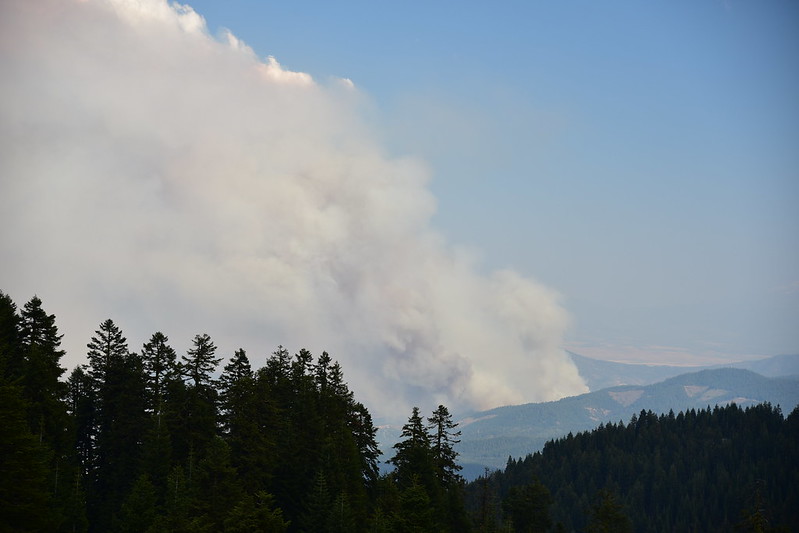
It was 5:30 and the fire – we later learned – had been going for five hours already. We gave a ride to a PCT hiker (hey, Snowman!) and when we arrived at the campground several people were standing around gawking at the enormous plume of smoke. I had a signal so I did some quick searching and found out that the fire had started in the vicinity of Hornbrook, California, which was just ten air miles away. The northern edge of the fire looked closer than that:
I was tired and hungry and we were not in immediate danger so I suggested we cook dinner. I had been looking forward to sitting around the campsite with a cold beer and a book, but it was clear that we were going to have to leave. Even if the fire didn’t get close enough to threaten our campground, the smoke was going to become a problem by morning. We’ve had our fill of smoky camping trips and wanted none of that, so even though we had only been there one night and had planned to stay for three more, we started packing up. The sound of our neighbor’s RV generator – which had been running ever since we arrived – droned on as we loaded up the car. It grated on my nerves and made the situation even more tense than it was. The only silver lining to having to leave was getting away from that racket.
With the car loaded up I took a final shot before we left at 7:40, Mt. Shasta framed by the wildfire smoke:
Later we would learn what happened. The fire was reported around 1pm on Thursday and according to the California Highway Patrol Yreka incident page, a caller reported that they had “started (a) small fire on friend’s property and it is out of control.” As of today (July 10) 2,800 firefighters are working on this fire which has killed one civilian, injured three firefighters, and destroyed 82 structures, including many homes. It is 36,000 acres. People have lost their homes, their vehicles, and their animals.
Interstate 5 was closed between Ashland and Yreka and our exit was between those two points. We were allowed to get on the freeway going northbound away from the fire but the freeway was deserted of course, which was incredibly weird. That night we got a hotel room in Ashland and went to bed, glad that we were safe, disappointed at having to pack up and leave, and thinking of the residents impacted by the fire. It was a somber ending to an otherwise good day.
NOTE: On Sunday when we left the Umpqua National Forest, after having not had a signal for a few days, we checked the Mt. Ashland webcam and this is what we saw. Lots of smoke.